General Information
Previous Similar Walks
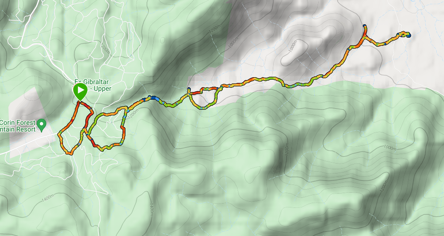
Route

Description
We started this walk from the Fitzpatrick Trackhead, off Wee Jasper Road about 4 kilometers south of Wee Jasper. The walk can be shortened by about 2.6 kilometers by starting at a point about 2.2 kilometers further along Wee Jasper Road from Fitzpatrick Trackhead (map reference 55H FB 51293 11000).
The track up to Mt Wee Jasper is pretty much a relentless uphill climb, but the track is in great condition and is well-marked all the way. The first section parallels Wee Jasper Road for about 1.3 kilometers before turning south through farm paddocks to the Wee Jasper State Forest.

Once in the State Forest the track meanders through numerous gullies and up spurs to the summit of the mountain. We found a bit of residual snow above 1000 meters before we reached the summit, which is 1122 meters.


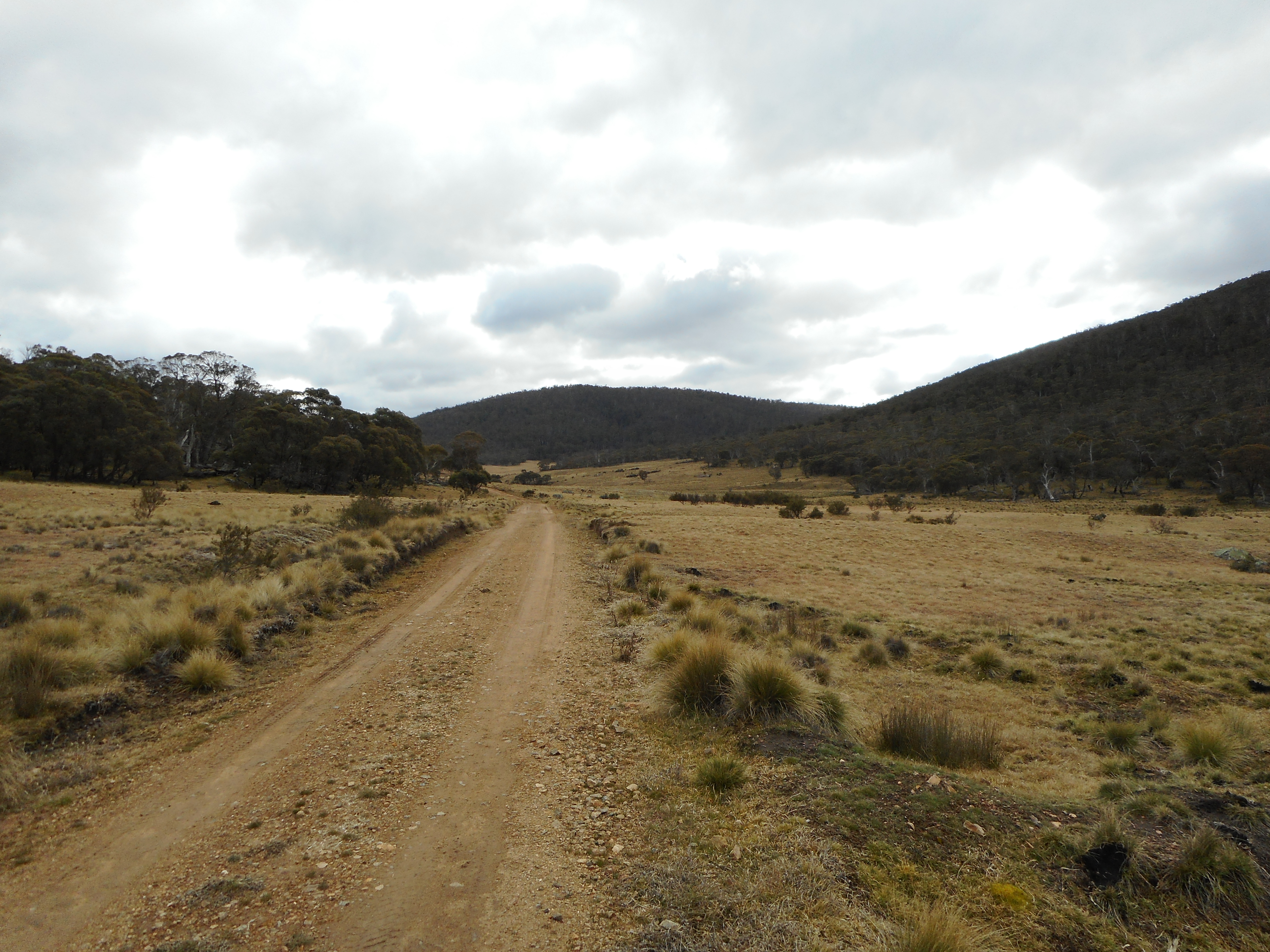
Not much of a view from the summit, but back down the track a bit there are some views of the western side of the Brindabellas.

We went back down the track the way we'd come until we found a sunny spot for lunch with views to the north.

We then returned to the starting point.