Friday 14 September 2018

Yanununbeyan State Conservation Area: Spring Creek Gorge

General Information


Distance:   10.6 kilometers
Total climb:   478 meters
Time taken:   4 hours  40 minutes
Maps:   Captains Flat 8726-1N 1:25 000
Source:  http://www.johnevans.id.au/wp/19-april-2018-queanbeyan-river-and-spring-creek-gorge/
Start point distance by road from Canberra GPO:   50 kilometers
Start point map grid reference:  55H GA 13034 63448
Destination map grid reference:  Corner Hill 55H GA 12316 63828
                                                    Queanbeyan River 55H GA 12436 62396
                                                    Spring Creek Gorge 55H GA 12805 60486
End point:  same as start

Route


http://maps.six.nsw.gov.au/


Description


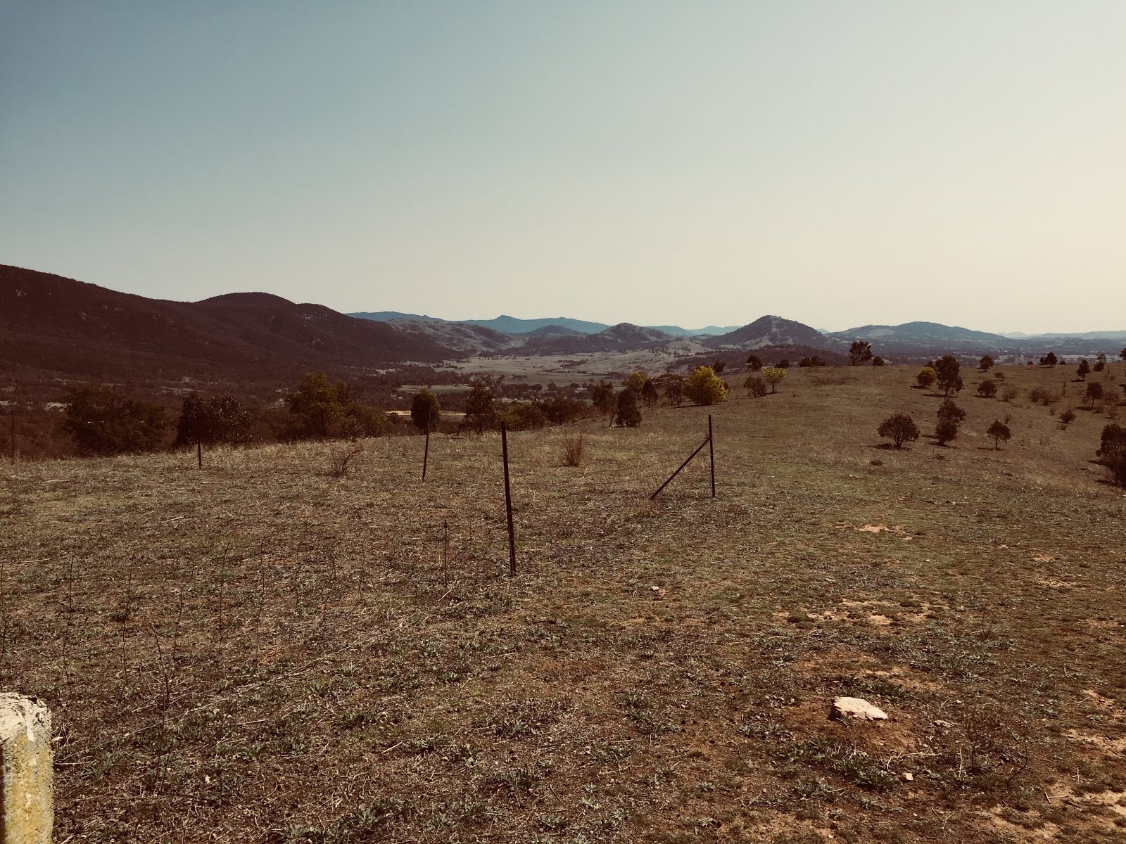
This walk commenced at the day use area carpark off Woolcara Lane about 14 kilometers south of Captains Flat Road. We started off by heading west towards some very thick scrub which we were obliged to go around to the left. Having cleared the scrub we veered northwest and started our climb up a ridge to the summit of Corner Hill.


Near the summit a quite indistinct track (Corner Hill Fire Trail) can be found leading down the hill to the south.


We followed this for about 800 meters before heading bush again towards a series of pools along the Queanbeyan River. Unfortunately the place where we approached the river was particularly steep, and although we were able to scramble down we could have made it easier on ourselves if we had gone down a much gentler ridge slightly to the east.


Where we met the river, however, was a particularly picturesque spot that we would probably not otherwise have seen.


We tried to follow the river upstream, but finding too many obstacles in our way we decided to gradually climb above the river, at first in an easterly direction and then south. This was not an easy part of the walk either, with prickly scrub to avoid and numerous deep gullies to climb down and then back out of. Eventually we found the spot where Spring Creek meets the Queanbeyan River.

The Spring Creek gorge is just 100 meters or so above the river.


We climbed out of Spring Creek to the south and immediately veered east before heading north towards the ridge that parallels Woolcara Lane. We followed the ridge north and then linked up with Woolcara Lane, which we followed for the last 2 kilometers to the carpark.  

Wednesday 5 September 2018

Gigerline Nature Reserve: An Exploratory Wander

General Information


Distance:   9.4 kilometers
Total climb:   384 meters
Time taken:   3 hours  30 minutes
Maps:   Williamsdale 8726-4N 1:25 000
Guide:  n/a
Start point distance by road from Canberra GPO:   36 kilometers
Start point map grid reference:  55H FA 88439 66291
Destination map grid reference:  55H FA 89277 64520
End point:  same as start

Route


http://maps.six.nsw.gov.au/

Description


This was an exploratory hike in an area my fellow hiker and I had not been before. We did not have a particular route or destination in mind, so the destination point specified above is really just the most prominent feature we came to.

Starting from the Tharwa Sandwash carpark we followed the Murrumbidgee River upstream for about 700 meters before crossing a dry creek at map reference 55H FA 89118 65976. From there we started up a ridge paralleling the river, which gave us a nice aspect downriver towards Tharwa in one direction and to the distant Tinderry Range in the other.


Not far up this ridge we came to the first of many annoying barbed wire fences that still criss-cross the Nature Reserve. Having wormed our way under a gap in this particular fence we continued in a generally southern direction and gaining elevation as we went. Eventually we saw the unnamed hilltop at map reference 55H FA 89277 64520, and decided to make towards it, believing that it would help us orient ourselves and look for more places of interest. This proved to be an excellent decision, with the hilltop affording views all around.


From the hilltop we decided to head back towards the Murrumbidgee heading down the hill to link up with a track we could see below us to the east. We followed this track around, hoping to find a side-track off to the left that would take us to the river (as marked on the map retrieved from http://maps.six.nsw.gov.au/). We never did find this side-track, so it must have been obscured over time. This left us with the job of descending a steep slope through relatively thick scrub to get to the river, but we made it quite easily in the end and found a very nice spot for lunch.


After lunch we climbed out way back from the river and soon after reacquired our outbound trail which we followed back to the carpark.

Tuesday 4 September 2018

Rob Roy Nature Reserve: Mt Rob Roy

General Information


Distance:   14.1 kilometers
Total climb:   775 meters
Time taken:   3 hours  40 minutes
Maps:   Tuggeranong 8727-3S 1:25 000
Guide:  n/a
Start point distance by road from Canberra GPO:   26 kilometers
Start point map grid reference:  55H FA 92172 74091
Destination map grid reference:  55H FA 93088 69956
End point:  same as start

Route

http://maps.six.nsw.gov.au/

Description


The hike started from a carpark across the road from 18 Callister Crescent, Theodore. Initially I was part of a large walking group headed for the hill overlooking the Royalla solar farm, but I intended to go further and climb Mt Rob Roy after the group turned back. Unfortunately it was a dark and dreary day with light rainfall threatening most of the time.

We started from the carpark and followed the track east until we came to an intersection with a gate which could be climbed through. We then followed the track south around Callaghan Hill until we came to another gate at map reference 55H FA 93408 72472. We followed the fence line south and eventually arrived at a hill (map reference 55H FA 93608 71823) which gave us our view of the solar farm. Here I left the group and made for the long ridge heading up to the Rob Roy Range. This was through lightly forested ground, mostly clear of annoying undergrowth although a bit rocky in parts. There were some early wildflowers in bloom in the more sheltered spots. There were some views to the east on the way up the ridge.


At the top of the ridge I struck the vehicular track heading towards Mt Rob Roy until I found the walking track to the summit, marked by a small stone cairn on the side of the vehicular track. 


The summit was only a few hundred meters from that point. While the summit is clear and rocky, tree growth all around the crown meant that views were limited, particularly in the gloomy conditions.


After a light lunch on the summit I headed back towards the carpark via the vehicular track. This was very steep in a number of places and with a sandy surface could be quite treacherous. Luckily I managed to keep my footing. When I got back to the gate at map reference 55H FA 93408 72472 I left the vehicular track and walked down a dry gully to eventually find the vehicular track again further down. From here I retraced my steps back to the carpark.