General Information
Distance: 6.9 kilometers
Total climb: approximately 150 meters
Time taken: 3 hours
Map: Huonbrook 9540-1N 1:25 000
Guide: link
Start point distance by road from Canberra GPO: 1,120 kilometers
Start point map grid reference: 56J NP 38937 34069
Destination map grid reference: 56J NP 38182 34813
End Point: same as start
Note: Refer to previous Minyon Falls walk on 22 April 2016.
Route

Description
The last time I walked to Minyon Falls, almost a year earlier, I was unable to loop around to the top of the falls due to roadwork on Minyon Falls Road north of Minyon Grass. No such problems this time.
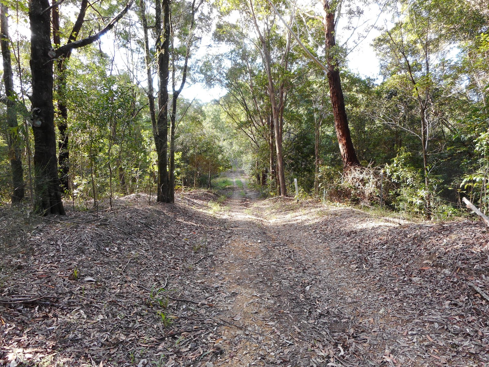
I started the walk again at the Minyon Grass picnic area and followed the walking trail down to the base of the falls (for detailed description, see my 22 April 2016 blog entry). I then took the trail across Repentance Creek and started to climb up the western side of the valley, heading steadily south through thick forest, climbing all the time.

Near the sothernmost point of the trail there are glimpses of Condong Falls to the west.

At the top of the escarpment the trail hooks back northward and some views of the surrounding countryside to the south start to be glimpsed through the trees as the trail follows the escapment.


Eventually the top of Minyon Falls itself becomes visible.

At the top of Minyon Falls there are spectacular views of the Repentance Creek valley, although the view of the falls themselves is naturally quite limited this close up.


From the top of the falls I returned to my car along Minyon Falls Road: a hard-surfaced, dusty and largely uninspiring finish to a very beautiful walk.
This was a fantastic walk through some very beautiful scenery, although if you have the time and energy it may be improved by avoiding Minyon Falls Road and returning from the top of the falls back along the trail. It was the Easter weekend when I did this walk, meaning that the trail was quite crowded. Disappointing that most people I saw on the trail had no basic necessities such as water or even rudimentary maps. One couple I met had walked over a kilometer past the base of the falls without realising they had missed it.
I started the walk again at the Minyon Grass picnic area and followed the walking trail down to the base of the falls (for detailed description, see my 22 April 2016 blog entry). I then took the trail across Repentance Creek and started to climb up the western side of the valley, heading steadily south through thick forest, climbing all the time.

Near the sothernmost point of the trail there are glimpses of Condong Falls to the west.

At the top of the escarpment the trail hooks back northward and some views of the surrounding countryside to the south start to be glimpsed through the trees as the trail follows the escapment.


Eventually the top of Minyon Falls itself becomes visible.

At the top of Minyon Falls there are spectacular views of the Repentance Creek valley, although the view of the falls themselves is naturally quite limited this close up.


From the top of the falls I returned to my car along Minyon Falls Road: a hard-surfaced, dusty and largely uninspiring finish to a very beautiful walk.
This was a fantastic walk through some very beautiful scenery, although if you have the time and energy it may be improved by avoiding Minyon Falls Road and returning from the top of the falls back along the trail. It was the Easter weekend when I did this walk, meaning that the trail was quite crowded. Disappointing that most people I saw on the trail had no basic necessities such as water or even rudimentary maps. One couple I met had walked over a kilometer past the base of the falls without realising they had missed it.