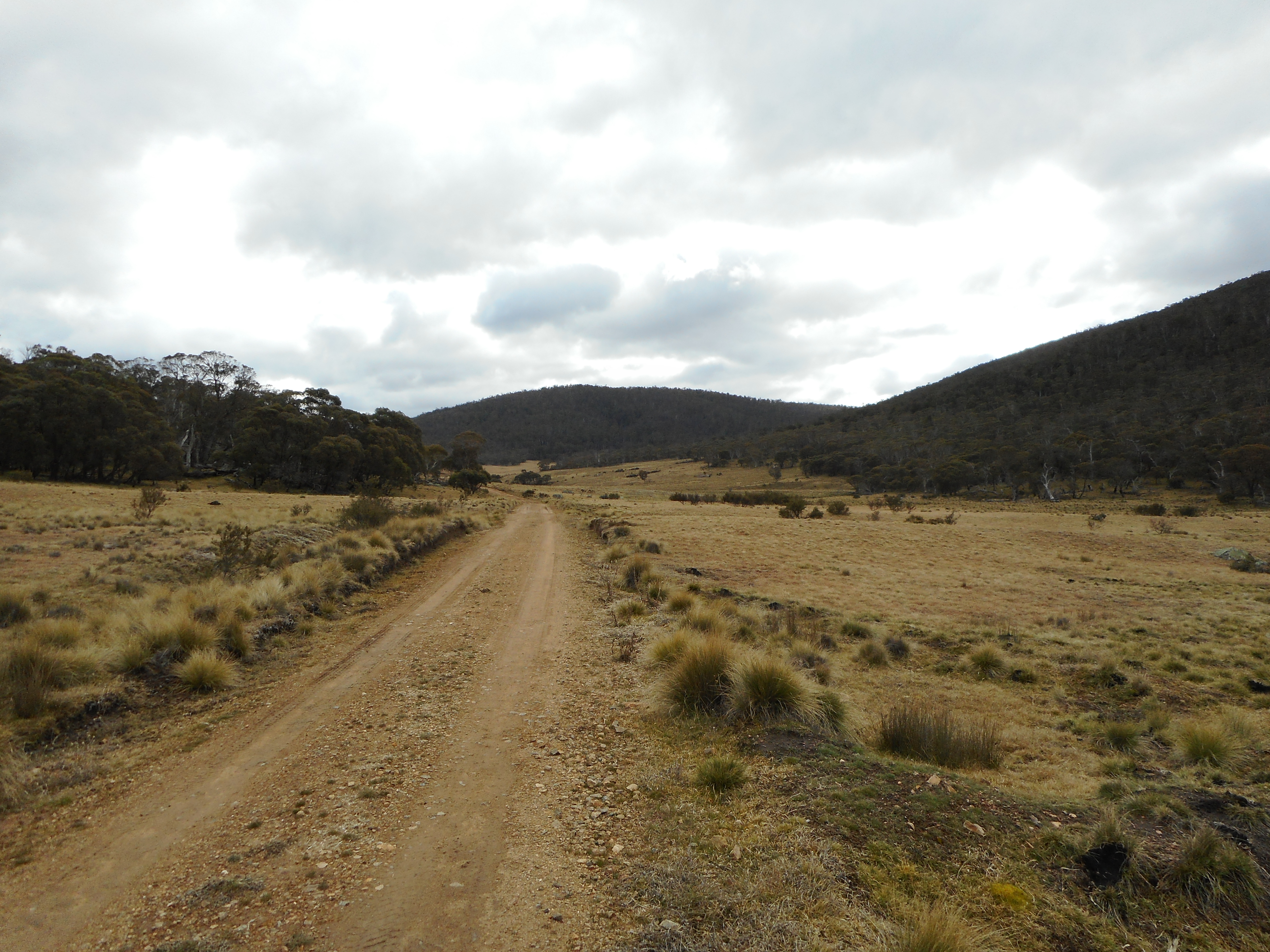
Thursday 13 August 2020

Namadgi National Park: Boboyan Valley

General Information

Grading:  medium
Distance:  17.65 kilometers 
Total climb:  219 meters 
Time taken:  4 hours 5 minutes 
Map:  Yaouk 8626-2N, 1:25 000 
Start point distance by road from Canberra GPO:  81 kilometers 
Start point map grid reference:  55H FA 79942 30000 
Destination map grid reference:  Boboyan Homestead ruin 55H FA 78620 31278
                                                     Lutons Crutching Shed 55H FA 75795 33510 
                                                     Lone Pine Homestead ruin 55H FA 74859 32454  
End point:  same as start

Route

 
http://maps.six.nsw.gov.au/

Description

The starting point for this walk was the locked gate on Old Boboyan Road, about one kilometer from Boboyan Road.

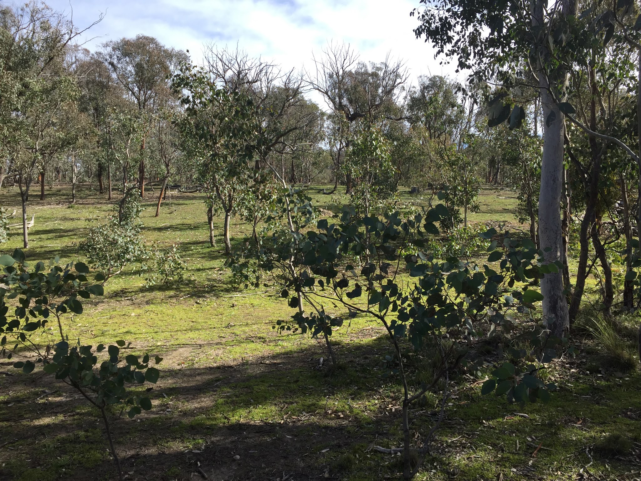
Passing through the gate we followed Old Boboyan Road through Boboyan Valley with Naas Creek on our right and views of snow-capped mountains.

At about the 2 kilometer point we reached the Boboyan Homestead ruin just off the road on the left. There is not much left of the early-1900's homestead apart from foundation stones and the chimney, but it is in a beautiful elevated position above Naas Creek.

We continued along Old Boboyan Road until near the point where it crosses over Naas Creek.

We headed up Sams Creek Firetrail through to the 1960's-era Lutons Crutching Shed, where we paused for a break.

From here we decided to look for the Lone Pine Homestead ruin, taking a shortcut through the bush to Grassy Creek Firetrail. Although we were looking in the right place we didn't manage to find the ruin. We suspect that it may have been obscured among the fallen trees and  bushfire damage, but maybe we just didn't look well enough.

We started our return journey back the way we came along the Grassy Creek Firetrail with Sheep Station Creek on our left. The Creek was particularly spectacular.

After passing through the forested are on our right we cut across country back to Old Boboyan Road which we followed back to our starting point.

Most of the area we walked through was not affected by the 2020 bushfires, although the area north of Sheep Station Creek was burnt. To get through to this part of Namadgi National Park, however, we had to drive through almost constant severe bushfire damage south of Apollo Road.

Thursday 6 August 2020

Canberra Nature Park: Black Mountain Circuit (1)

General Information

Grading:  easy
Distance:   11.1 kilometers
Total climb:   299 meters
Time taken:   2 hours 40 minutes
Maps:   Canberra 8727-2N 1:25 000
Start point distance by road from Canberra GPO:   6 kilometers
Start point map grid reference:  Canberra 55H FA 89742 94000
Destination map grid reference:   n/a
End point:  Same as start

Route

http://maps.six.nsw.gov.au/

Description

The starting point for this walk was the Black Mountain Reserve carpark near Glenloch Interchange. I followed the cycle path south from the carpark passing under Caswell Drive /Gungahlin Drive and making my way to the gate marking the entrance to the Black Mountain Reserve. I followed the Woodland Trail for a bit before I headed bush, intending to walk in the bush above Parkes Way around to the lookout I visited a few weeks back (link). Although steep, this is very nice bushland to walk through and has some excellent views to the south. Just be careful of your footing.

After a steep climb up to around 650 meters elevation I pretty much followed the contour at that elevation around the south side of Black Mountain. This eventually brought me almost perfectly to the lookout I was seeking. From there I followed the walking track back to the Botanical Gardens where, after a coffee break at the cafe there, I had the opportunity to have a bit of a look around while making my way to Black Mountain gate.

Passing back out into Black Mountain Reserve I followed the Powerline Trail until I found a trail heading southwest at map reference 55H FA 91133 96004 which I followed. At around map reference 55H FA 90099 95429 I found a walking track to the right which I decided to follow. Unfortunately I took me nowhere I wanted to go so I made my way back to the management trail I had been following. I passed under Caswell Drive/Gungahlin Drive into the Aranda Bushland. After a short way down a management trail I found a walking track on the left with ribbon markings leading me back to where I started. Some nice pictures on the way.