General Information
Grading: medium
Distance: 9 kilometers
Total climb: 350 meters
Time taken: 3 hours 30 minutes
Maps: Cotter Dam 8627-2N 1:25 000
Start point distance by road from Canberra GPO: 40 kilometers
Start point map grid reference: 55H FA 71648 86832
Destination map grid reference: 55H FA 72969 88682
End point: Same as start
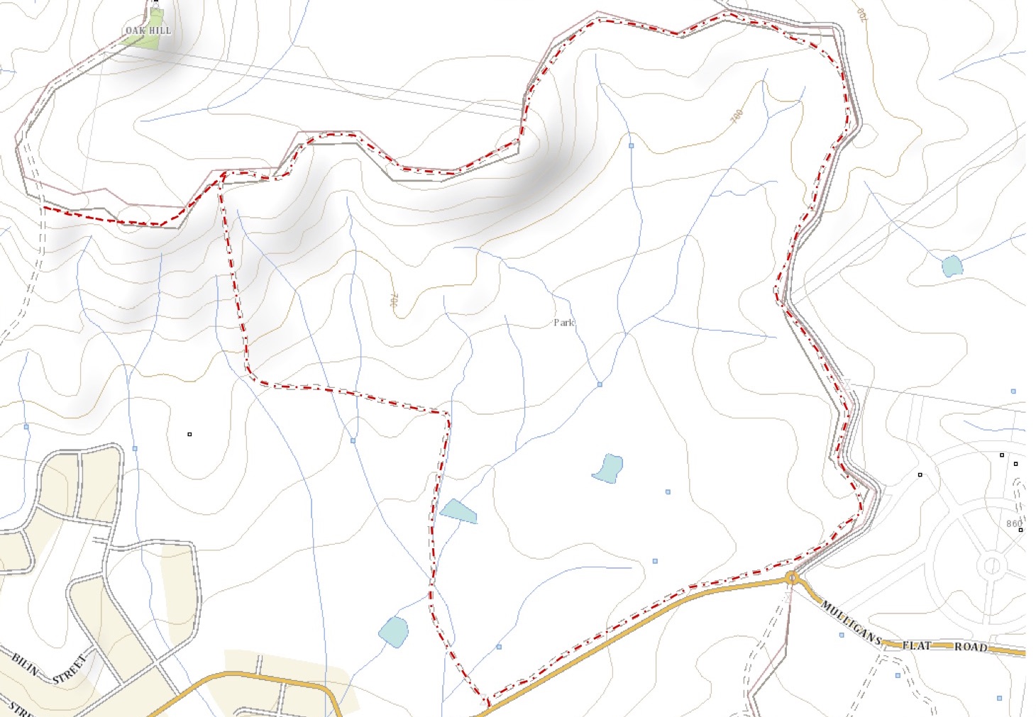
Route
http://maps.six.nsw.gov.au/
Description
This walk began at the locked gate on the western side of Vanity's Crossing, only a few hundred meters from the Cotter River. We started out by walking to the weather station at map reference 55H FA 71629 86943, hoping to find a track that we knew paralleled Vanity's Crossing Road to the west. Although this track is very clear on SIXmaps satellite imagery it is not marked on maps. We could not find the track from the weather station so we went back up Vanity's Crossing Road to map reference 55H FA 71712 87505 where we turned right and found the track we were looking for just off Vanity's Crossing Road.
When we got on the track we could see why we had trouble finding it: much of it is overgrown.

After a short distance we crossed Condor Creek, which was pretty much empty of water. If there was a good flow of water down the creek crossing it may be difficult.

Climbing out of the creek we continued to follow the track until it ended at Sinclair Circuit, a rough vehicular tack that goes around Condor Hill. From here we bush bashed our way up the hill at map reference 55H FA 72514 88592, having to walk around large blackberry growths which will probably make this route impassable in time. From this hill we had our first glimpse of Cotter Dam.

Continuing up Condor Hill we came across numerous reminders of the 2003 bushfires: blackened remains of pine trees and flaking boulders.

All the while dodging blackberry we eventually made it to the top of Condor Hill, where we had excellent views all around. The views towards Cotter Dam to the north and the Cotter River valley to the south were particularly nice.


Having come up the western side of Condor Hill we descended down the south side until we found Sinclair Circuit once again. We followed this road around to where the walking track was and followed it back to our car (with a short detour after taking a wrong turning). A late lunch on the cool banks of the Cotter River at Vanity's Crossing was a nice reward for all the effort.