Tuesday 18 August 2015

Bullen Range Nature Reserve: Southern Ridge and Pierces Creek Pine Forest

General Information


Distance:  14.8 kilometers
Total climb:  579 meters
Time taken:  3 hours 35 minutes
Maps:  Tuggeranong 8727-3S 1:25 000
Guide:  none
Start point distance by road from Canberra GPO:  34 kilometers
Start point map grid reference:  55H FA 83723 73862
Destination:  Loop walk
End Point:  Same as start


Route


http://maps.six.nsw.gov.au/

Description


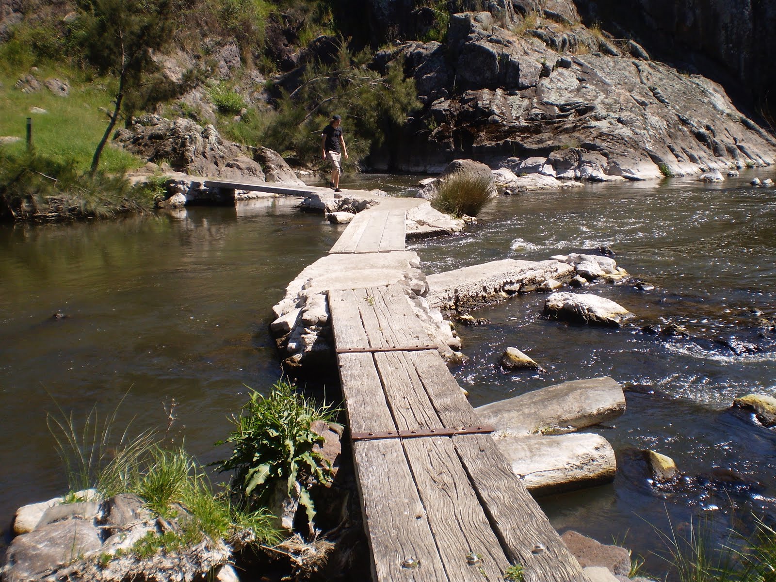
We started at the entrance to the Bullen Reserve off Tidbinbilla Road about 1.6 kilometers west of the Point Hut Road intersection. Following the Bullen Range fire trail we started to climb up to the ridge of the Range. We diverted off the fire trail, however, to reach the peak of Barnes Hill, which gave some some good views in all directions.


Continuing along the ridge of the Bullen Range, we passed from open grassland to fairly dense forest on either side of the fire trail.


After hiking almost 5 kilometers we reached the highest elevation on our walk: just over 910 meters (the starting point was at elevation 710 meters). After another kilometer we paused for a break before staring down a very steep management trail on the western side of the range at map reference FA824790. 


Eventually this took us through to a locked gate with "no trespassing" signs, so we followed the fence line south on the Reserve side until we struck the pine forest. Here we were again able to follow management trails through the forest on the western side of Bullen Range back to our starting point. This was a great walk with some excellent views, particularly where it goes through grassland. It is also very easy to access from South Canberra.

Sunday 9 August 2015

Canberra Nature Park: Shepherds Lookout, Molonglo River Plank Bridge and Uriarra Loop (2)

General Information


Distance:  9.3 kilometers
Total climb:  275 meters
Time taken:  3 hours 15 minutes
Map:  Umburra 8727-1S 1:25 000
Guide:  Marion Stuart, Best Bush, Town and Village Walks in and around the ACT (2012), 
                                     pp.80-83 & 76-79.
Start point distance by road from Canberra GPO:  19 kilometers
Start point map grid reference:  55H FA 809211 97979
Destination map grid reference:  Shepherds Lookout - 55H FA 79899 98441
                                                    Molonglo River plank bridge - 55H FA 78470 98044
                                                    Uriarra Crossing - 55H FA 77646 98169
End Point:  Same as start


Route


http://maps.six.nsw.gov.au/

Description


I had previously done this walk on 11 October 2014, but it was worth repeating. 
The walk starts at a carpark on the northern side of Stockpile Drive, about 3 kilometres past the entrance to the golf club. There is a well-marked trail here to Shepherd's Lookout, which provides elevated views of a bend in the Murrumbidgee River.


From there the trail continues past the sewage treatment works - not pretty, but at least it doesn't smell! - with continuing views of the river below.


About 2.7 kilometers into the walk, the trail meets the Molonglo River just a bit upstream from where it flows into the Murrumbidgee. A plank footbridge allows hikers to cross the river to the Uriarra Loop.


Crossing the river we turned to the right and cut across to the Murrumbidgee River, which we followed around to Uriarra Crossing. We took the opportunity to have a break at the picnic area south of the Crossing before continuing up the access road form the picnic area to Uriarra Road. Across Uriarra Road is a stile that marks the recommencement of the Uriarra Loop Trail. This brought us back to the plank bridge and the trail back to our starting point.

Leaving aside the sewage treatment works, which is more of an eyesore than an assault on multiple senses, this is a very pleasant walk. It has the advantage of being one of the closest ones to my home. The river views are good, there is enough of a physical challenge in the terrain and opportunities for a swim if it gets too hot.