Saturday 13 April 2024

Uriarra: Sherwood in Autum

General Information

Grading:  easy
Distance:   8.2 kilometers
Total climb:   245 meters
Time taken:   2 hours 20 minutes
Maps:   Cotter Dam 8627-2N 1:25 000
Start point distance by road from Canberra GPO:   32 kilometers
Start point map grid reference:  55H FA 74137 95543
Destination map grid reference:   55H FA 72104 95061
End point:  Same as start

Route


Description

I had visited the Sherwood daffodils in October several times in the past, but had always thought it might be nice to visit while the trees were still leafy, and perhaps starting to turn to their autumn colours.

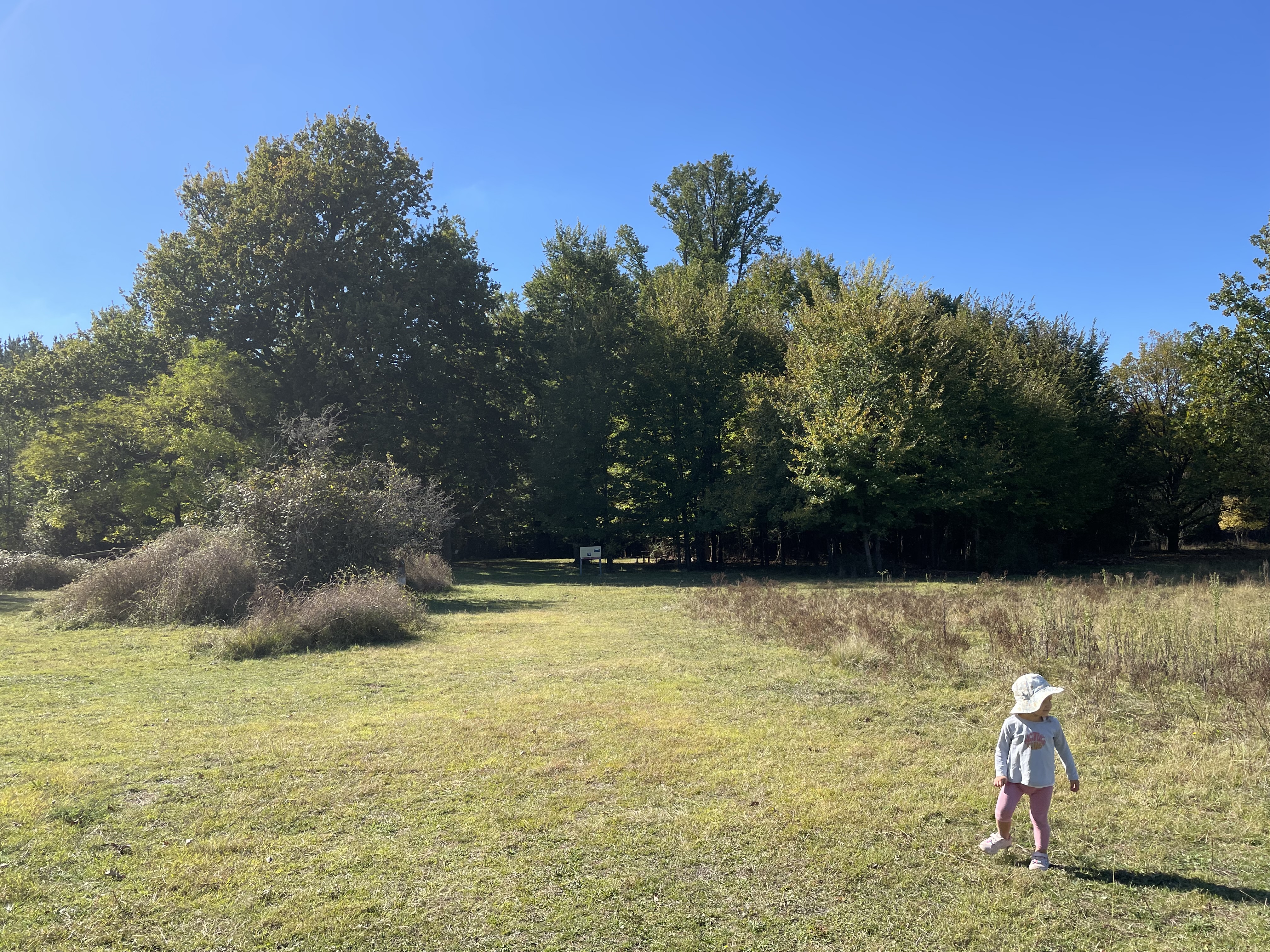
We started the walk at the small parking area off Mountain Creek Road, and having walked up the first hill, we followed the loop in a clockwise direction to the Sherwood Homestead site. There were some autumn colours in the trees along the way, but not much.

 The homestead site looks very different in autumn, and is best described in photos:


We were surprised to find that there were still some irises(?) in bloom under the tree canopy.

We had two young children (aged 5 and 2) on the walk, both of whom are big fans of The Gruffalo. They had a great time strolling through "the deep dark wood" and looking for the fox's underground house, the owl's treetop house and the snake's log pile house. Not only did they find all of these, they even found a nut for the mouse.

We walked back through the pine forest to the carpark.

Thursday 4 April 2024

Namadgi National Park: Rendezvous Creek, Middle Creek and Yankee Hat

General Information

Grading : hard
Distance:  14.7 kilometers 
Total climb:  359 meters
Time taken:  5 hours 23 minutes
Map:  Rendezvous Creek 8626-1S, 1:25 000 
Start point distance by road from Canberra GPO:  63 kilometers 
Start point map grid reference:  55H FA 80599 44237
Destination map grid reference:  no particular destination
End point:  same as start

Route


Description

This walk began at the Rendezvous Creek car park off Boboyan Road. We initially thought we might head towards Middle Creek and see how far up the creek we could penetrate, but really we wanted the walk to be flexible.

We started out by following the walking trail over the bridge to the other side of Rendezvous Creek and up to the rest area. From here we took a pretty much straight line towards the mountain gap where we wanted to join Middle Creek. Some good views along the way of the Rendezvous Creek valley to the north and Yankee Hat to the south west.


After walking through grassland for a while we entered some forest, which was moderately difficult to get through, eventually making our way to the northern side of Middle Creek.

The banks of the creek were quite high, nearly vertical, and too wide to jump. We therefore continued upstream until we found a convenient fallen tree trunk across the creek. Having crossed over we continued walking upstream. It became increasingly difficult to get through the thick undergrowth, so we didn't get too far before deciding to stop for morning tea. At this point we took the courageous decision to leave Middle Creek and see how far we could ascend Yankee Hat North up its northern spur. This proved to be very difficult, with a very steep slope, rock outcrops and thick undergrowth to navigate. Just shy of the 1200 meter contour we found a rock outcrop where we could take in both lunch and the view, which included Mt Kelly, Mt Burbidge and Mt Namadgi.

Although the peak of Yankee Hat North appeared tantalisingly close, we decided against going any further up - it was too steep, too rocky, too overgrown, and we were too tired - and started to go down again by much the same route.

We stayed on the southern side of Middle Creek, intending to cross at the concrete ford on Middle Creek Track at map reference 55H FA 77939 42941. While we could cross the ford easily enough, we were unable to get across the swampy ground on the other side. We therefore had to continue along Middle Creek until we found a spot we could jump across. On the northern side of Middle Creek we made our way to the Rendezvous Creek Trail, which we followed for a while before going back to the start point via the walking track we had followed before.