General Information
Route

Description
I had done most of this walk - from the Shepherds Lookout carpark to Uriarra Crossing and back - a number of times previously (see link), but this time I took the opportunity to have a brief look at the Woodstock Nature Reserve.
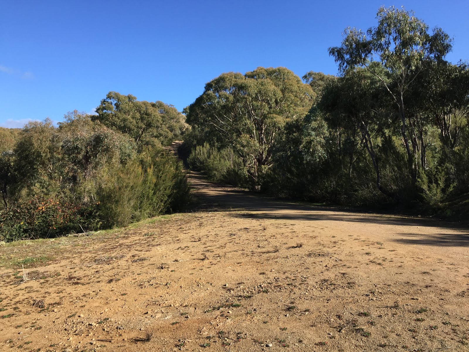
Crossing to the western side of the Murrumbidgee at Uriarra Crossing I walked up Fairlight Road about 900 meters to the carpark at the entry to Woodstock Nature Reserve. From there I followed the track about 400 meters to an open area on the right, where I had some nice views back along the track and south along the Murrumbidgee towards the distant ranges.

From this open area I randomly decided to head bush back down towards the river and loop back to Uriarra Crossing. The bush was fairly light, with only the occasional blackberry to cause discomfort, but near the river itself I found it all a bit muddy and decided to head back up the hill. Eventually I found the boundary fence for the private property marked as "Phencari" on the map and followed it back to the Woodstock Nature Reserve entrance, and from there back (mostly) the way I had come.
No comments:
Post a Comment