General Information
Distance: 7 kilometers
Total climb: unknown
Time taken: 2 hours 30 minutes
Map: Cotter Dam 8627-2N, 1:25 000
Guide: Marion Stuart, Best Bush, Town and Village Walks in and around the ACT (2012);
pp. 68-71.
Start point distance by road from Canberra GPO: 40 kilometers
Start point map grid reference: 55H FA 70503 93001
Destination map grid reference: 55H FA 70582 93234
End point: same as start
Route

http://maps.six.nsw.gov.au/
Description
The starting point for this hike is a locked gate on Blue Range Road just north of its crossing of Blue Range Creek. We started walking past the gate along blue range road for about 250 meters until we reached Blue Range Hut. Having just started walking, however, we just passed it by and continued to follow Blue Range Road through some rather nice native forest to the north and then the west before entering the pine forest.

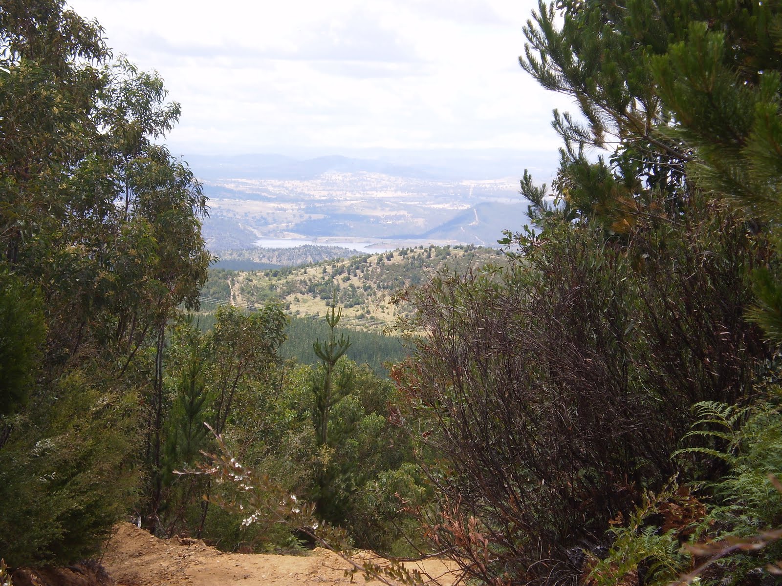
There are occasional views of the pine forest, Cotter Dam and distant Canberra as you gain elevation.


About 1.4 kilometres into the walk Blue Range Road turns south and we followed it for about 2 kilometers before reaching an intersection (map grid reference 55H FA 69576 92431) where we turned left (northeast). This took us back to Blue Range Road about 500 meters south of our starting point. We then walked north back to Blue Range Hut where we could have some lunch and enjoy the native forest before heading home.
This is an interesting walk that isn't too taxing. The views are pleasant without being spectacular and the track is wide and easy to follow. Take time to read about the history of Blue Range Hut while you are there.


