Showing posts with label Kosciuszko. Show all posts

Saturday, 23 April 2022

Kosciuszko National Park: Charlotte Pass to Guthega [and return]

General Information

Grading:  medium
Distance:    19 kilometers
Total climb:    660 meters
Time taken:   4 hours 30 minutes
Maps:   Perisher Valley 8525-2S  1:25 000
Start point distance by road from Canberra GPO:   220 kilometers
Start point map grid reference:  55H FV 19089 67358
Destination map grid reference:  55H FV 23213 73018
End point:  same as start
 

Route


Description

This new walking trail is the first section of the planned Snowies Alpine Walk.

We started at Charlotte Pass, and at the car park walked down the very steep track towards the Snowy River below. The start of the trail to Guthega begins on the right, a few hundred meters before the river. Much of the initial section is along raised metal causeway following along beside the Snowy River.


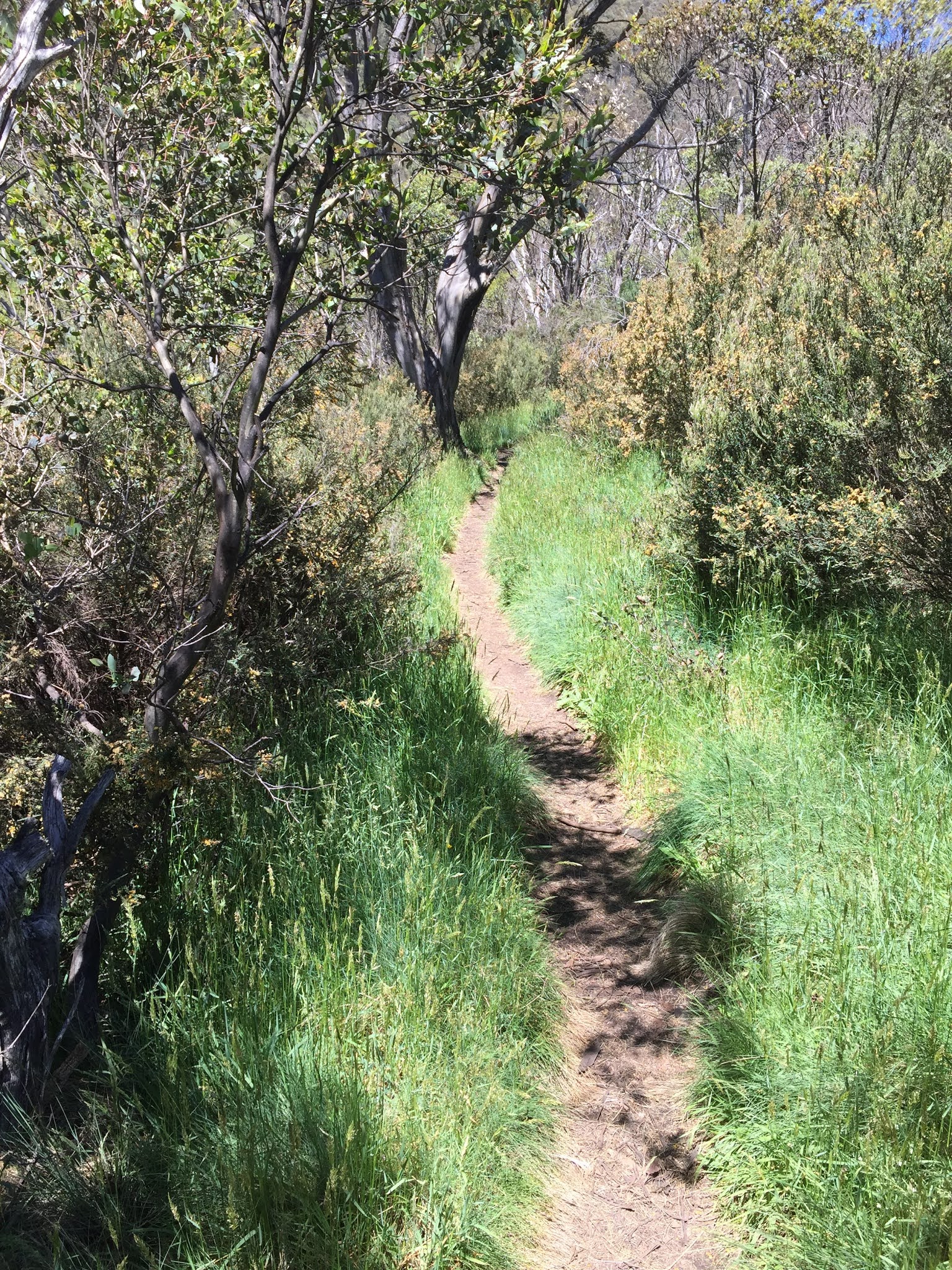
After a while the track starts to go up and down and through some nice stands of gum trees

Perhaps the highlight of the walk is the suspension bridge over Spencers Creek.


The track also passes beside the Illawong Bridge over the Snowy River and Guthega Dam before taking you into Guthega itself.


My walking companion (actually my wife) was pretty worn out by the time we reached Guthega, so she stayed behind in the cafe while I walked back to Charlotte Pass to fetch the car. The climb up from the Snowy River to the Charlotte Pass car park was a killer at the end of such a long walk.

Sunday, 29 November 2020

Kosciuszko National Park: Thredbo River Trail

General Information

Grading: easy
Distance:    11.4 kilometers
Total climb:    303 meters
Time taken:   3 hours
Maps:   Chimneys Ridge 8524-1N 1:25 000
Start point distance by road from Canberra GPO:   215 kilometers
Start point map grid reference:  55H FV 16501 59115
Destination map grid reference:  55H FV 13124 57387
End point:  Same as start

Route

Description

This walk really starts at the western end of Thredbo Village, but we were obliged to park the car almost a kilometre away in one of the large parking areas at the eastern end of the village. With hindsight it would have been better to have driven to Dead Horse Gap, parked the car there and done the walk in reverse.

Initially the track is quite wide and follows the Thredbo River on the left and the golf course on the right. After about 1 kilometre the trail splits, with the right hand trail returning to Thredbo via the other side of the golf course, and the left hand trail continuing along the river to Dead Horse Gap. We followed the left trail which narrowed to a well-worn path through light bush.

At one point not too much further on we came to a viewing platform over the river near a pretty cascade.


Continuing on, about 3 kilometers into the walk we came to the first bridge on the walking trail crossing the Thredbo River. About 400 metres further on there is another footbridge which too us back to the north side of the river again. Some nice wildflowers were still in bloom and some other walkers coming from Dead Horse Gap told us they had sighted deer nearby.

We eventually reached Dead Horse Gap and the very pretty Bogong Creek.

We returned to Thredbo via the same route.

Saturday, 28 November 2020

Kosciuszko National Park: Kosciuszko Main Range Trail

General Information

Grading:  hard
Distance:    21 kilometers
Total climb:    743 meters
Time taken:   5 hours 45 minutes
Maps:   Perisher Valley 8525-2S  1:25 000
Start point distance by road from Canberra GPO:   220 kilometers
Start point map grid reference:  55H FV 19089 67358
Destination map grid reference:  none
End point:  same as start

Route

Description

We did this walk counter-clockwise starting from Charlotte Pass. We descended from Charlottes Pass down a paved walkway to the Snowy River and Club Lake Creek, both of which we were able to cross via stepping stones. Some people found these harder to negotiate than others.

From the Snowy River the climbing starts - the river is around 1715m above sea level and after walking a bit over 3 kilometres we were almost at 2000m elevation. At this point we had a good view of Blue Lake.

From here we turned left towards Carruthers Peak. Here we started to be exposed to very strong winds, but we paused long enough to take some photographs of nearby Sentinel Mountain which on a milder day we might have been tempted to climb.

Continuing along the track we came to a section of elevated steel walkway. The wind was so strong here that I was blown off the walkway a couple of times.

The track took us under the peak of Mt Lee and via Northcote Pass to Mt Northcote and Albina Lake.

The track had not been too steep since descending Carruthers Peak, but from Mt Northcote it started to climb again as we approached Mt Kosciuszko via Muellers Pass. When we reached the track to the Kosciuszko summit we saw dark clouds to the west, indicating the forecast afternoon rain was on its way. We decided not to do the 2 kilometre detour to the peak - we had both visited it several times before - and started down the track back towards Charlottes Pass, visiting Seamans Hut along the way.

By the time we hit the bridges over the Snowy River and Merritts Creek heavy rain had begun to fall and there was the sound of distant thunder. Fortunately the rain did not last too long and we were able to get back to Charlotte Pass without getting too wet.

Monday, 18 January 2016

Kosciusko National Park: Tabletop Mountain and Four Mile Trails

General Information


Distance:  23.7 kilometers (day 1 - 13.1 kilometers; day 2 - 10.6 kilometers)
Total climb:  630 meters (day 1 - 366 meters; day 2 - 264 meters)
Time taken:  7 hours 45 minutes (day 1 - 4 hours 25 minutes; day 2 - 3 hours 20 minutes)
Maps:  Cabramurra 8526-2S 1:25 000; Denison 8626-3S 1:25 000
Guide:  Derrick Stone Walks, Tracks & Trails of New South Wales (2012), pp. 182-183.
Start point distance by road from Canberra GPO:  206 kilometers
Start point map grid reference:  55H FA 34798 28358 [Cabramurra]
Destination map grid reference:  55H FA 33565 19421 [Cabramurra] - campsite
End Point map grid reference:  55H FA 39033 23931 [Denison]


Route


http://maps.six.nsw.gov.au/


Description


This hike required two cars and a large backpack for overnight camping. The first car we placed at our planned end point, a carpark on the Eucumbene River - note that this track to this carpark requires 4WD or AWD. Having placed the first car, we drove on in the second car to a carpark just off the Snowy Mountains Highway at the southern edge of Kiandra which is the northern end of the Tabletop Mountain Trail. We started the hike in a generally southerly direction along the Tabletop Mountain Trail (part of the Australian Alps Walking Track) through grassland with the occasional stand of trees. Many trees in the area were dead, possibly as a result of the 2003 bushfires. We were also plagued by swarms of flies and had to wear fly nets over our heads to stay sane. About 6.5 kilometers into the hike we deviated east of the trail to visit Four Mile Hut.


There had been no other water on the trail before this, so we took the opportunity to refill in the nearby Four Mile Creek. There was also a pit toilet up the hill from the hut - a welcome sight to any hiker who doesn't relish the idea of digging and refilling their own in the hard ground. After a good break at the hut we retraced our steps to the Tabletop Mountain Trail and continued south to Nine Mile Creek. Having found here that the creek was clear and fast-flowing, we decided that this was a good spot to spend the night and pitched our tents around 3.30pm. This proved to be a good decision, as it was difficult to find water later in the hike.


Our campsite was in the middle of the old Nine Mile Diggings mining area, and there were mining earthworks all around us. There were also a lot of annoying small ants, but these disappeared after sundown. The next morning we continued along the Tabletop Mountain Trail south and then east. At one point we found what seemed to be the remains of an old mining race below the trail.


About 1.5 kilometers from our campsite we met the Four Mile Hill Fire Trail, which we followed north until we came to Broken Dam Hut. 


We had expected to find some more water in Broken Dam Creek, but it was dry. More positively, though, we found another pit toilet near the hut. After a brief stop at the hut we continued along the Four Mile Hill trail going up and down some significant slopes until we reached Four Mile Hill (1690 metres elevation). This had us quite exhausted, as the morning was already warm and the lack of opportunities to refresh our water along the track was requiring us to use what we had with care.


Fortunately the trail from Four Mile Hill to the Eucumbene River is all downhill - in fact, it drops over 400 meters in elevation in 3.2 kilometers. Eventually we came to the river and crossed a ford (still knee-deep water) to get back to the first car.

This is a walk I am not sure about. On the negative side, the flies and ants were annoying, the dead trees everywhere were depressing, and the lack of water sources (particularly along the Four Mile Hill trail) was disturbing. On the positive side, the mining history of the area is everywhere and the grasslands and summer wildflower remnants were very pretty. 

Monday, 28 December 2015

Kosciuszko National Park: Kiandra Heritage Trail and Tabletop Track

General Information


Kiandra Heritage Trail
   Distance: 2 kilometers return
   Total climb: negligible
   Time taken: 30 minutes
   Map:  Ravine 8526-2N 1:25 000
   Guide:  Derrick Stone Walks, Tracks & Trails of New South Wales (2012), pp.180-181.
   Start point distance by road from Canberra GPO:  150 kilometers   
   Start point map grid reference:  55H FA 34892 28774
   Destination:  loop trail
   End point:  same as start

Tabletop Trail (part)
   Distance: 13 kilometers return
   Total climb: 232 meters
   Time taken: 2 hours 15 minutes
   Map:  Cabramurra 8526-2S 1:25 000
   Guide:  Derrick Stone Walks, Tracks & Trails of New South Wales (2012), pp.182-183.
   Start point distance by road from Canberra GPO:  206 kilometers
   Start point Map grid reference:  55H FA 34798 28358
   Destination:  none - walk was exploratory
   End point:  same as start


Route


http://maps.six.nsw.gov.au/

Description


I have an ancestor who was mining gold at Kiandra during the brief gold rush of 1859-61, so I wanted to see the site. I started at the restored courthouse and followed the trail through a rather bleak and windswept valley.


Old mining remains can be seen, as well as the ruins of Yan's Store and the restored Matthew's Cottage.


Information boards are regularly placed around the trail, and it is well worth taking the time to read them.


With the trail only 2 kilometers in length, I had plenty of time and energy for some additional walking and decided to check out part of the Tabletop Trail to see if it was worth the two-day hike in Derrick Stone's book. Starting near Pollocks Gully, I walked up the side of Dunn's Hill and looked back towards Kiandra.


The track passes mostly through open grassland with occasional stands of trees and distant mountains.


I followed the trail south about 5.5 kilometers and decided that I should return to get back to Cooma in time. Unfortunately I took a wrong turning down the Mt Selwyn nordic ski trail, and while this added about 2 kilometers to the walk, it provided some nice views.


The Kiandra Heritage Trail is worth taking some time over, though it is remote and has few facilities (there is a toilet at the Court House, however). The Tabletop Trail was sufficiently interesting to get me back there to do the Tabletop and Four Mile Trails as a two-day hike the following month.