Tuesday 23 November 2021

Strathnairn to Shepherd's Lookout

General Information

Grading : easy
Distance:  7.1 kilometers 
Total climb:  114 meters
Time taken:  1 hour 20 minutes
Map:  Hall 8727-4S 1:25 000 and Umburra 8727-1S 1:25 000
Start point distance by road from Canberra GPO:  15 kilometers 
Start point map grid reference:  55H FA 81451 99526
Destination map grid reference:  55H FA 79900 98440
End point:  same as start

Route


Description

This walk began at The Link Community and Information Centre in McClymont Way, Ginninderry Village. It is along a newly constructed walking trail which is signposted, easy to follow and quite scenic. There are even a few artworks along the way. The best description of the walk is in the pictures:


The track is fairly flat and there are a few stiles to climb over. Parts of the track can also be muddy, I found. You may encounter livestock along the trail too, as the land it passes through is used for grazing: I had to make my way through a large herd of cattle near the start of the walk.

Thursday 18 November 2021

Gibraltar Pines and [Not Quite] Punch Bowl Creek Falls

General Information

Grading : medium
Distance:  7.2 kilometers 
Total climb:  314 meters
Time taken:  2 hours
Map:  Corin Dam 8626-1N, 1:25 000 
Start point distance by road from Canberra GPO:  49 kilometers 
Start point map grid reference:  55H FA 74894 68592
Destination map grid reference:  55H FA 76117 68607
End point:  same as start

Route


Description

This walk began at the Smokers Trail car park just off Corin Road. We walked straight up the hill from the car park and turned left at the top. This took us on a loop trail through some very nice grassy native bushland.

Looping back around to the southwest, we made our way to Punch Bowl Creek, but due to a navigational error on my part ended up climbing a very steep hill after we had crossed the creek, which we then had to walk down again. At roughly map reference 55H FA 75649 68431 we eventually found the beginning of the walking track down Punch Bowl Creek. This track is quite difficult to find by sight, which is why we ended up unnecessarily climbing the hill.

Making our way along the track we were confronted with a newly-built fence going right across the track.

Assuming that this was a less-than-subtle form of saying "No Access", we decided to turn back short of the falls. [After the walk I asked the Parks people why the track had been closed, only to be informed that it was meant only to keep livestock out, not interfere with walkers, and that a gate allowing access was to be put in. This gate has now been constructed.]

Making our way back to the start of the walking track we decided not to climb that steep hill again, but went up another trail that parallels it on the west. This proved much easier. We then looped back to the starting point along randomly selected management trails.

Wednesday 6 October 2021

Tidbinbilla Nature Reserve: Spur 1 Trail to Camelback Fire Trail

General Information

Grading : easy
Distance:  9.33 kilometers 
Total climb:  460 meters
Time taken:  2 hours 15 minutes
Map:  Tidbinbilla 8627-2S, 1:25 000 
Start point distance by road from Canberra GPO:  47 kilometers 
Start point map grid reference:  55H FA 73043 74179
Destination map grid reference:  55H FA 71866 75588
End point:  same as start

Route


Description

I began this walk at the Koala Enclosure car park just off Tidbinbilla Reserve Road. I walked back along the road until I saw a track off to the left and followed that in a generally northeast direction through a mix of management facilities for the Reserve and some very nice bushland.


This turned out to be the Man on Horse Trail, which I followed until I turned left at the Spur 1 Trail. This trail is relatively steep in some places, but gave some views of the Tidbinbilla Range as I climbed.


Eventually I reached the Camelback Trail, and briefly considered bush bashing my way through to Red Hill, off to the southeast from there. I decided against it due to the fact that I was on my own (never a good idea while bush bashing in unfamiliar terrain where nobody knew I might be going) and thickening scrub.


So instead I walked back down the Spur 1 Trail and the Man on Horse Trail until I reached Tango's Track on the right (this is signposted - photographed below on the way up). 

I followed Tango's Track back to Mountain Creek Road, and from there back to the start point.


Thursday 8 July 2021

Namadgi National Park: "Legoland"

General Information

Grading : medium
Distance:  11.1 kilometers 
Total climb:  424 meters
Time taken:  3 hours 
Map:  Corin Dam 8626-1N, 1:25 000 
Start point distance by road from Canberra GPO:  53.3 kilometers 
Start point map grid reference:  55H FA 79072 60456
Destination map grid reference:  55H FA 76329 58623
End point:  same as start

Route


Description

"Legoland" is the unofficial name given to the series of block-like rocky outcrops on the ridge east of Orroral Valley.
 
The walk began at the Honeysuckle Creek Observatory site at the end of Apollo Road. From there we made our way to the Orroral Ridge Road, taking us through bushland recovering from the bushfire 18 months ago.
 
 
The Orroral Ridge Road itself is in excellent condition and this made for easy walking although it was moderately steep in some places. It was nice to walk along Honeysuckle Creek for some of the trail.


Continuing past the turnoff to the Orroral Valley link track on the left we eventually reached the carpark on the top of the ridge at 55H FA 76822 58304. I continued along a walking track along the ridge to the peak at 55H FA 76329 58623, but getting a view was difficult because it meant climbing over or walking around huge boulders. I'm not a huge fan of rock climbing. Nevertheless I managed to find a view down into the Valley and across to Cotter Rocks.


Returning to the ridge-top carpark I followed another short trail to the nearby rock outcrop where we found a rocky vantage point giving a spectacular view down the valley. We were able to clearly discern the old tracking station, the homestead and the geodesic dome.


After having a spot of lunch and admiring the view we headed back to our starting point by the same route.

Tuesday 6 July 2021

Canberra Nature Park: Molonglo Gorge Nature Reserve

General Information

Grading: easy
Distance: 7.9 kilometers 
Total climb: 344 metres 
Time taken: 3 hours
Maps:  Canberra 8627-3N 1:25 000; Bungendore 8727-2N 1:25 000 
Start point distance by road from Canberra GPO:  19 kilometers 
Start point map grid reference:  Canberra 55H GA 04479 88164 
Destination map grid reference:  Bungendore 55H GA 06798 87761 
End point:  same as start

Route


Description

This was essentially the same as the walk completed on 6 November 2020 (link).

Sunday 20 June 2021

Tidbinbilla Nature Reserve: Tidbinbilla Mountain

General Information

Grading: hard
Distance:  7.9 kilometers 
Total climb:  772 meters 
Time taken:  4 hours 12 minutes 
Map:  Tidbinbilla 8627-2S, 1:25 000 
Start point distance by road from Canberra GPO:  52 kilometers 
Start point map grid reference:  55H FA 71471 74628 
Destination map grid reference:  55H FA 69509 75951 
End point:  same as start

Route


Description

This was essentially the same as the walk I completed on 7 December 2019 (link).

Tuesday 15 June 2021

Tidbinbilla Nature Reserve: Devils Gap and Gibraltar Falls

General Information

Grading: hard
Distance: 11.9  kilometers 
Total climb: 658 meters 
Time taken: 4 hours 15 minutes 
Map: Tidbinbilla 8627-2S 1:25 000 
Start point distance by road from Canberra GPO:  46 kilometers
Start point map grid reference:  55H FA 74405 73675
Destination:  55H FA 75503 71261
End Point:  Same as start
 

Route


Description

This walk started at the Devils Gap carpark on the Tidbinbilla Reserve ring road. I first followed the Devils Gap fire trail to Devils Gap and then turned right on to a well-marked walking trail.


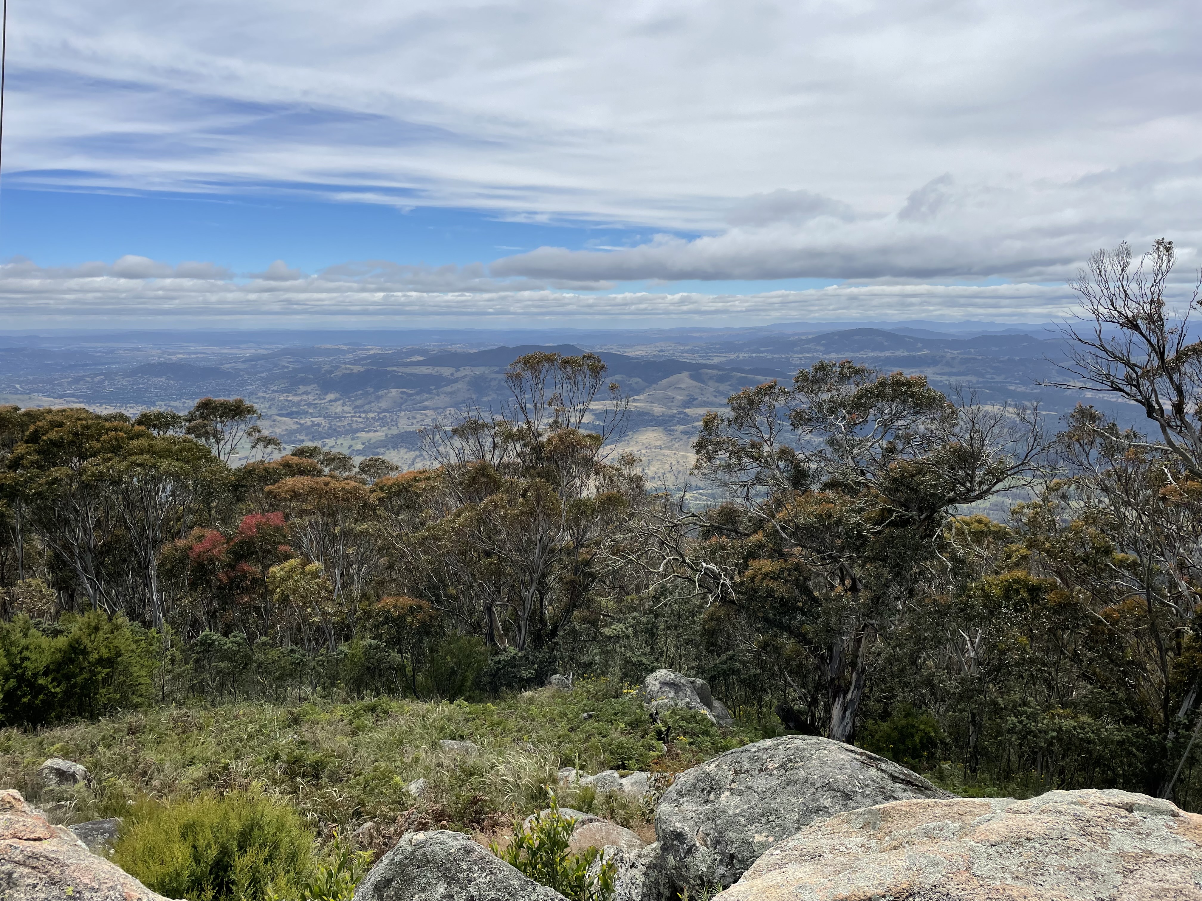
 This walking trail at first goes through some very nice wooded grassland.

After a short time the track starts to descend down the other side of Devils Gap via a large number of steps before getting back to a fire trail not far from Corin Road. Reaching Corin Road I turned left along an old fire trail (these days little more than a walking track) the parallels Corin Road and comes back to it just across from the Woods Reserve access road. I went down to Woods Reserve and at the end of the campground there is a gap in the fence which is the start of the formal trail up to Gibraltar Falls.

I followed the formal trail up to the eastern side of the top of the falls, although the last section was closed for some reason or other (as was the viewing platform at the other side of the falls). Nevertheless I was able to get to a rock shelf just off the trail with views back towards The Pyramid and of the top of the falls themselves.

Returning back down the trail, when I got back to Gibraltar Creek near the campground I decided to head up the creek to see if I could get a view of the bottom of the falls, encouraged by what looked like a decent walking trail. It soon became apparent, however, that the trail was no such thing and I had to scramble over and around large rocks with the steep sides of the gorge limiting my choices.

Although it was physically exhausting I continued my scramble, even after an ill-advised jump from one rock to another very nearly compromised my left ankle, and I finally made it to the base of the falls.

Rather than scramble back along the creek the way I had come I decided to climb back up to the walking trail I had gone up and down earlier. This also proved to be quite difficult - very steep and covered with rocks and post-bushfire regrowth. I followed the walking track back to Woods Reserve and gave myself a well-earned lunch break.

Getting back to Corin Road I headed towards a management trail across the road and to the left. This trail doesn't seem to be used much these days and was quite rough and rocky. And also steep.

Eventually the trail meets up with the Devils Gap fire trail and I followed this back to the car.


Sunday 13 June 2021

Canberra Nature Park: Coolemon Ridge and Mt Arawang

General Information

Grading:  easy
Distance:   6.3 kilometers
Total climb:   241 metres
Time taken:   2 hours
Maps:   Canberra 8727-3N 1:25 000; Tuggeranong 8727-3S 1:25 000
Start point distance by road from Canberra GPO:   16 kilometres
Start point map grid reference: street address
Destination map grid reference:  Mt Arawang - 55H FA 85840 84231
End point:  same as start
 

Route


Description

This walk started at the carpark off Namatjira Drive near the Kambah Pool Road. It was was pretty similar to previous walks in this area, although we walked the ridge before climbing Mt Arawang from the less steep western side.

Tuesday 1 June 2021

Canberra Nature Park: Mt Majura


General Information

Grading:  easy
Distance:   5.9 kilometers
Total climb:   267 meters
Time taken:   1 hour 40 minutes
Maps:   Canberra 8727-3N 1:25 000
Start point distance by road from Canberra GPO:   6.2 kilometers
Start point map grid reference:  street address
Destination map grid reference:   none
End point:  Same as start


Route


Description

The starting point for this walk was the carpark off Mackenzie Street in Hackett. We first walked through the reserve to the north and then followed vehicular trails and walking tracks to the summit of Mt Majura. We came back down the summit trail and then followed the zigzagging trail back down to the carpark.

Saturday 29 May 2021

Tidbinbilla Nature Reserve: Gibraltar Peak (4)

General Information

Grading: easy
Distance: 8.6  kilometers 
Total climb: 347 meters 
Time taken: 2 hours 55 minutes 
Map: Tidbinbilla 8627-2S 1:25 000 
Start point distance by road from Canberra GPO:  44 kilometers
Start point map grid reference:  55H FA 74969 75487
Destination:  55H FA 76750 74318
End Point:  Same as start
 

Route


Description

An ascent of Gibraltar Peak from the Dalsetta Carpark, all along the walking track and returning the same way.

Tuesday 25 May 2021

Canberra Nature Park: Mt Taylor

General Information

Grading:  easy
Distance:   4.6 kilometers
Total climb:   221 meters
Time taken:   1 hour 20 minutes
Maps:   Canberra 8727-3N 1:25 000
             Tuggeranong 8727-3S 1:25 000
Start point distance by road from Canberra GPO:   18 kilometers
Start point map grid reference:  street address
Destination map grid reference:   none
End point:  Same as start


Route


Description

The starting point for this walk was the carpark off Sulwood Drive near Mannheim Street in Kambah. We walked around the back of the suburb of Torrens before starting our ascent to the summit of Mt Taylor. We returned along the western side of the mountain.

Saturday 22 May 2021

Namadgi National Park: Yerrabi Track

General Information

Grading : easy
Distance:  3.6 kilometers 
Total climb:  236 meters
Time taken:  1 hour 40 minutes 
Map:  Yaouk 8626-2N, 1:25 000 
Start point distance by road from Canberra GPO:  72 kilometers 
Start point map grid reference:  55H FA 80607 35764 
Destination map grid reference:  Boboyan Trig Tor Lookout 55H FA 79574 36676 
End point:  same as start

Route


Description

This track starts at the Yerrabi Track carpark on Boboyan Road about 4.5 kilometres of the Hospital Hill Lookout. The track is quite clear and easy to walk, at first through forest which is regenerating after last year's bushfire, and down to Little Dry Creek.


After crossing the creek the Track climbs steadily towards Boboyan Trig, with some views opening up to the east and the south (Boboyan Valley):

Continuing past the trig the track goes down to a rock outcrop on the western side of Boboyan Hill. Steps have been placed in the rocks to take walkers down to the Tor Lookout where there are great views of Brindabella peaks including Mt Namadgi, Yankee Hat, Mt Kelly, Mt Gudgenby and Sentry Box Mountain.

After a break for lunch we climbed back up to the trig and returned along the track back to the carpark.

Friday 14 May 2021

Tidbinbilla Nature Reserve: The Pyramid

General Information

Grading: medium
Distance: 6  kilometers 
Total climb: 386 meters 
Time taken: 3 hours 22 minutes 
Map: Tidbinbilla 8627-2S 1:25 000 
Start point distance by road from Canberra GPO:  46 kilometers
Start point map grid reference:  55H FA 74391 73673 
Destination:  55H FA 74948 72338 
End Point:  Same as start
 

Route


Description

The Pyramid (1172 metres) is a peak on the southeastern side of the Tidbinbilla Valley between Devils Gap and Stantons Gap. Note that the Tidbinbilla map does not name the peak as "The Pyramid", but marks it with the elevation only. Note also that there is no walking track to the summit of The Pyramid from Devils Gap.

The start point for this walk is the Devils Gap carpark just off the Tidbinbilla Ring Road. We crossed to the other side of the road from the carpark and started up the Devils Gap fire trail. We followed to the fire trail to the Devils Gap signpost (about 2 kilometres from our starting point), getting some views of our destination along the way.

Just past the Devils Gap signpost on the right is a walking trail which forms part of the "Devils loop" walk. We walked down this trail for a short distance until we found a point where we thought it made sense to head bush and commence our climb to the summit. The climb was quite steep and we had to negotiate our way through some scrub and avoid prickly plants. Near the summit we started to see large boulders, some with interesting shapes.

In short order we made it to the summit which was quite rocky and covered with ferns below and small trees all around. There is a cairn that presumably marks the summit, or perhaps just someone's idea of where the summit might be.

Due to the fairly dense tree cover we could only get partial views of the surrounding area, although we tried a number of vantage spots.

We returned to the carpark the same way we had come up.