Tuesday 26 February 2019

Canberra Nature Park: Aranda Bushland and Mt Painter

General Information

Grading:  easy
Distance:   7.6 kilometers
Total climb:   247 meters
Time taken:   1 hour 40 minutes
Maps:   Canberra 8727-2N 1:25 000
Start point distance by road from Canberra GPO:   6.4 kilometers
Start point map grid reference:  Canberra 55H FA 89102 96546
Destination map grid reference:   Tuggeranong 55H FA 87748 95143
End point:  Same as start

Route


http://maps.six.nsw.gov.au/

Description

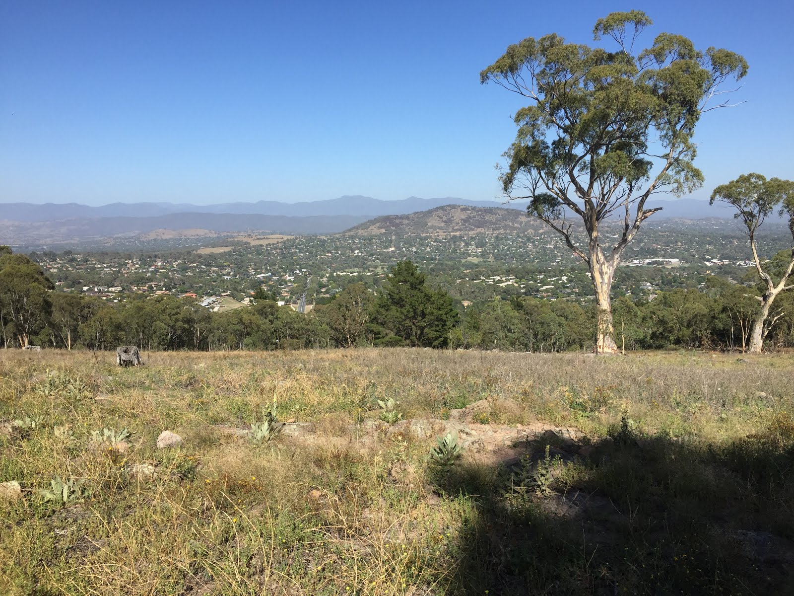
This walk began at the Aranda Shopping Centre in Bandjalong Crescent. From the carpark at the rear of the shops we followed a paved path through the suburb of Aranda to a management trail passing to the south of the suburb. Carefully crossing Bundubi Street we continued along another management trail to the south of the suburb of Cook, following this around to the northwest to acquire the main trail to the summit of Mt Painter. Although not quite 750 meters high, Mt Painter provides excellent 360-degree views of Canberra and its surrounds, both on the climb up and on the summit itself.

From the summit we descended via an indistinct trail on the eastern side of the mountain to link up again with the management trail behind Cook. When we reached the bitumen path that runs through Cook we headed southeast along it, passing underneath Bundubi Street via an underpass. taking to management trails once again, we passed through some of the prettiest sections of the Aranda Bushland before reaching the suburb of Aranda once again and returning to the carpark at the shops.

Tuesday 19 February 2019

Canberra Nature Park: Isaacs Ridge

General Information


Distance:   8.2 kilometers
Total climb:   244 meters
Time taken:   1 hour 50 minutes
Maps:   Canberra 8727-2N 1:25 000
             Tuggeranong 8727-3S 1:25 000
Start point distance by road from Canberra GPO:   14 kilometers
Start point map grid reference:  Canberra 55H FA 91831 84120
Destination map grid reference:   Tuggeranong 55H FA 93032 82608
End point:  Same as start

Route


http://maps.six.nsw.gov.au/


Description


This walk began at the Isaacs Shopping Centre carpark. passing behind the shopping centre we followed the footpath under Julia Flynn Avenue to the edge of the nature reserve. Reaching a management trail we followed it north before starting the fairly steep climb to the top of the ridge. From here there were extensive views towards the Woden Valley.


Continuing along the management trail at the top of the ridge we also had some views of the northern Tuggeranong Valley and the mountains beyond.


Passing a series of transmission towers on top of the ridge we eventually reached our destination, the highest point on the ridge at around 850 meters elevation. The view here was limited, however, by surrounding trees.

From our destination we started the descent back down the ridge to the southwest before heading north again on a management trail. At around map reference 55H FA 92671 82648 (Tuggeranong) we deviated off the management trail to the right, following a very nice walking track running parallel to the management trail. We then followed management trails and suburban streets back to our starting point.

Tuesday 12 February 2019

Uriarra Forest: Mt McDonald

General Information


Distance:   6.8 kilometers
Total climb:   240 meters
Time taken:   1 hour 40 minutes
Maps:   Cotter Dam 8627-2N 1:25 000
Start point distance by road from Canberra GPO:   26 kilometers
Start point map grid reference:  55H FA 77061 90367
Destination map grid reference:   55H FA 76550 91170
End point:  Same as start

Route

http://maps.six.nsw.gov.au/


Description


This walk began at the small carpark just off Brindabella Road about 2 kilometers north of Cotter Road. From here we followed a neat walking trail uphill until it ended at the Mount McDonald Road which we followed to the Summit of Mount McDonald. From here we had some good 360-degree views, with perhaps the best being towards the Murrumbidgee River near the pumping station...


...and towards Tidbinbilla Reserve.


Leaving Mount McDonald we continued along the road in a generally northwest direction until we came to Crusher Road which we followed south, with some good views of the Cotter Reservoir starting to open up.


Continuing south on Priors Road we eventually met Lookout Road which we followed back to the carpark.

Tuesday 5 February 2019

Urban Canberra: Parliament House, Red Hill and Embassies

General Information


Distance:   9.5 kilometers
Total climb:   180 meters
Time taken:   2 hours
Maps:   Canberra 8727-3N 1:25 000
Start point distance by road from Canberra GPO:   4 kilometers
Start point map grid reference:  55H FA 92487 91648
Destination map grid reference:   55H FA 92141 88953 (Red Hill)
End point:  Same as start

Route

http://maps.six.nsw.gov.au/


Description


Although this was more of a city walk than a bushwalk I decided it was worth including in this blog. 
The starting point for the walk was the carpark at the Canberra Yacht Club in Mariner Place, Yarralumla. From here we headed via Parliament House to Melbourne Avenue, which we followed to a management road along the base of Red Hill. Picking up a walking track a bit further down the management road we climbed past an electricity station painted to resemble Doctor Who's Tardis towards the lookout at map reference 55H FA 92141 88953. From there we walked back down Red Hill following Hopetoun Circuit past Adelaide Avenue. We then followed Hampton Circuit and Empire Circuit past a number of Embassies and back to the Yacht Club.