General information
Distance: 18 kilometers
Total climb: unknown, but probably 250-400 meters
Time taken: 4 hours 30 minutes
Maps: Williamsdale 8726-4N; Corin Dam 8626-1N
Start point distance by road from Canberra GPO: 48 kilometers
Start point map grid reference: 55H FA 83475 60752
End point: same as start
Route

http://maps.six.nsw.gov.au/
Description
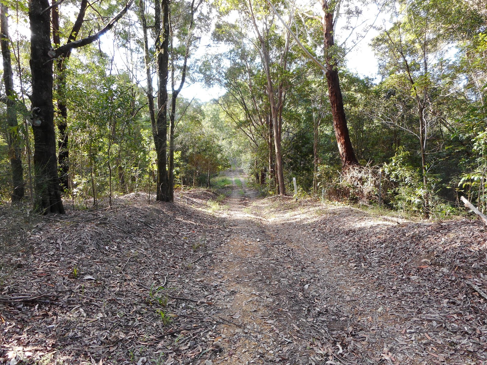
This hike started at a point on the Apollo Road a few hundred meters past the Mt Tennent Firetrail, where there is a reasonably wide carpark on the side of the road. From here we walked to the Mt Tennent Firetrail and through the locked gate down to a ford on Honeysuckle Creek which can be easily walked across. From there the trail heads steadily upwards, gaining about 250 meters in elevation over 2.4 kilometers, until it reaches the Bushfold Flats Firetrail at map reference 55H FA 83667 62737. We followed the Bushfold Flats Firetrail, quickly reaching Bushfold Flats hut where we took a break.

Continuing along Bushfold Flats Firetrail the terrain was very open, affording views of the surrounding peaks.


We continued along the trail until we ran out of trail to follow at map reference 55H FA 83643 66350, at which point we turned back. At map reference 55H FA 83655 66795 the Australian Alps Walking Trail heads off the Bushfold Flats Firetrail to the west. We followed the Walking Trail through light forest, eventually reaching Booroomba Creek where we stopped for another break.

Continuing to follow the trail we eventually passed Deadmans Hill to the south, and at this point we left the trail and headed through the forest south towards Apollo Road. The scrub was thick in some places, but we passed through it easily until we reached Honeysuckle Creek. The creek banks were very steep and rocky, so we wasted a lot of ti9me finding a suitable crossing point. Eventually we crossed, reaching Apollo Road almost immediately after, and walked back down Apollo Road to the car.
Although long, and initially quite steep, this was a very enjoyable walk through some diverse terrain.