General Information
Route
Description
This walk was almost identical to one I completed back in 2022. Details can be viewed through the link here.
The bushwalks of a retired Public Servant who rediscovered the joys of hiking in early 2014 after a forty year hiatus. Most walks are in the immediate surrounds of Canberra, where I live, but there are also walks further afield. I've also included the odd kayaking trip where it was particularly interesting.
General Information
This walk was almost identical to one I completed back in 2022. Details can be viewed through the link here.
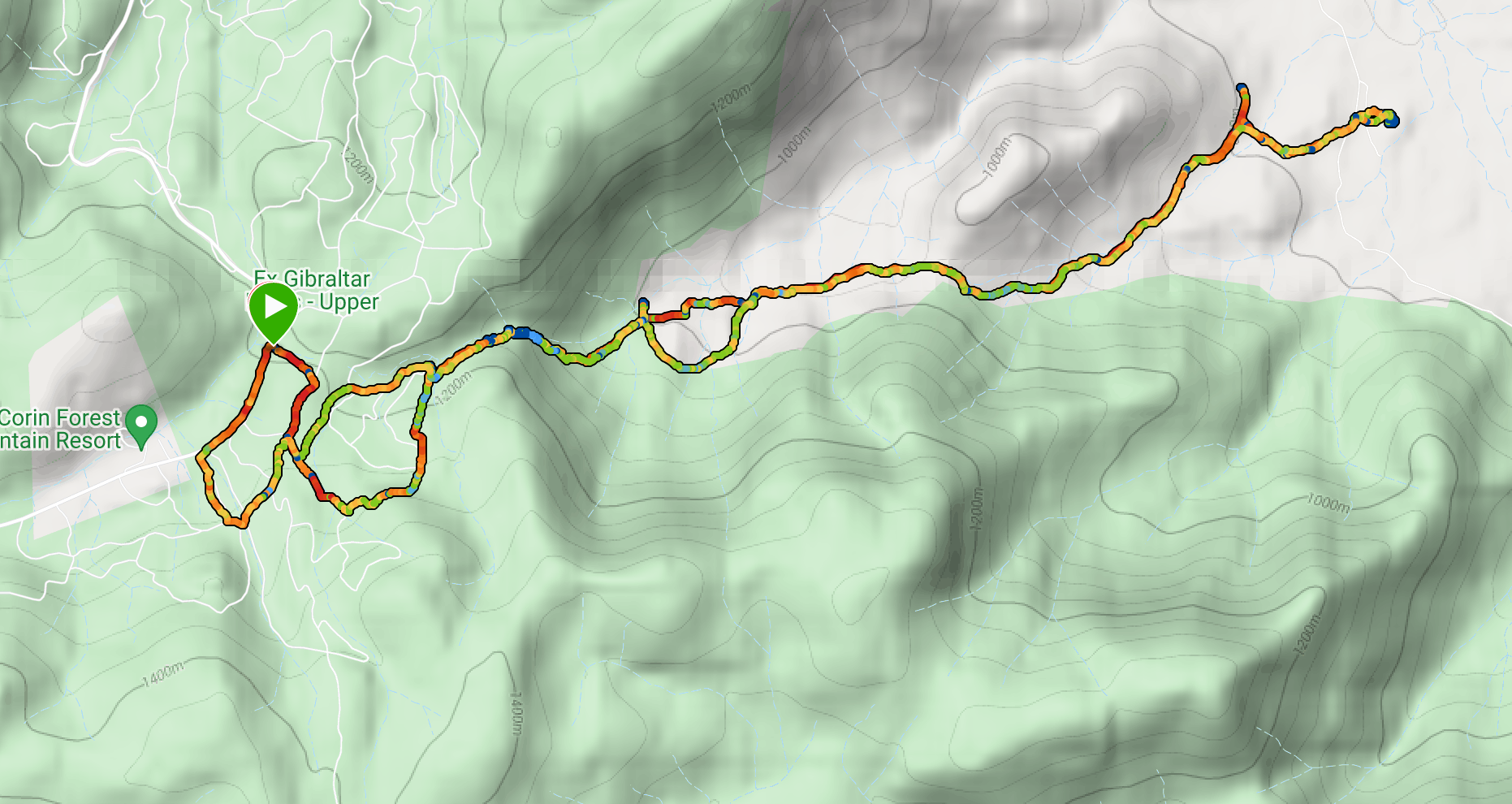
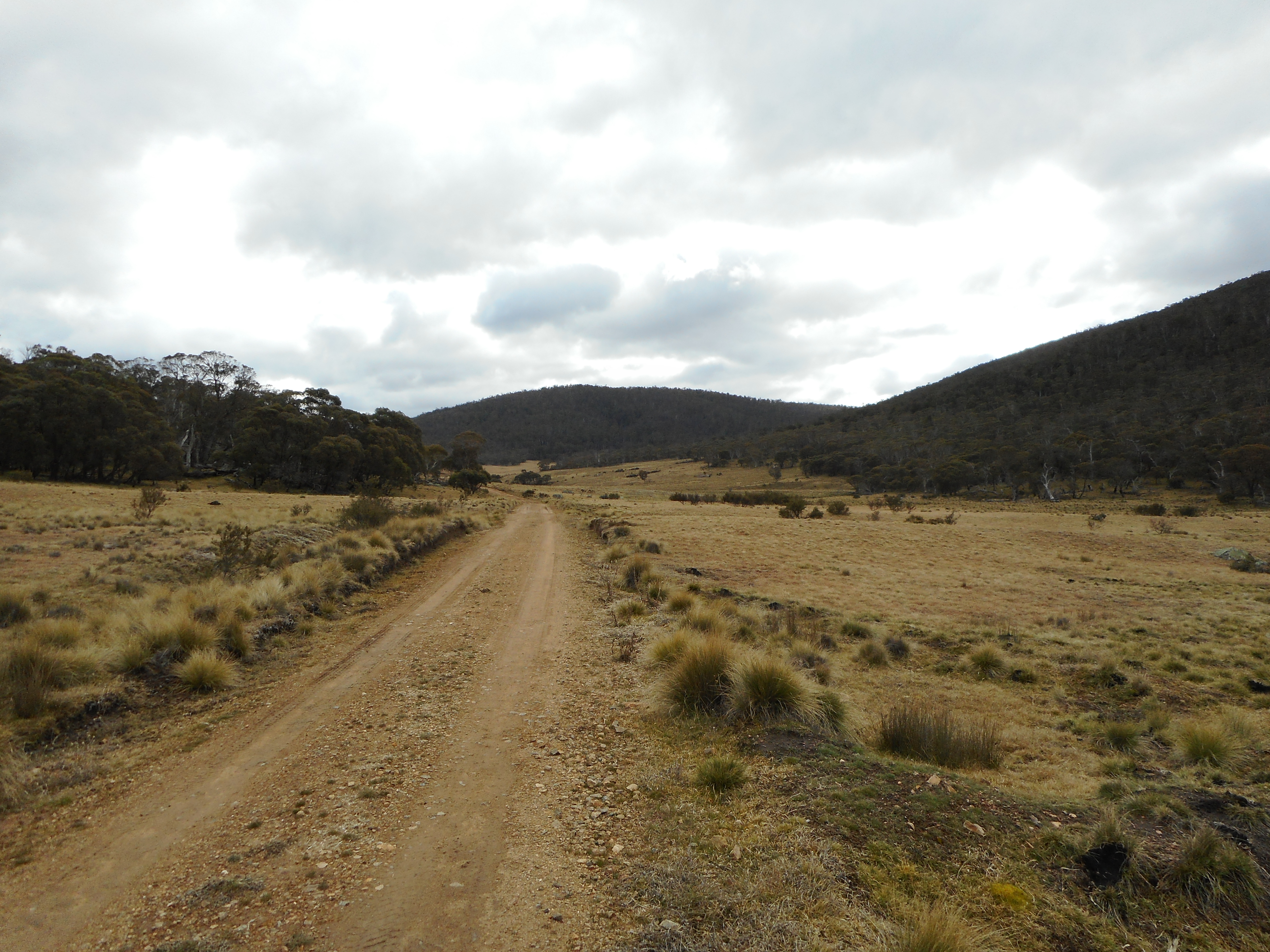
Leaving the campground the track passes through fairly open terrain, past the Mount Clear horse yards and with occasional glimpses of Naas Creek.
The trail continues through more wooded terrain with a lot of climbing up and down.
This walk was led by the Brindabella Bushwalking Club. I joined the walk as a guest.
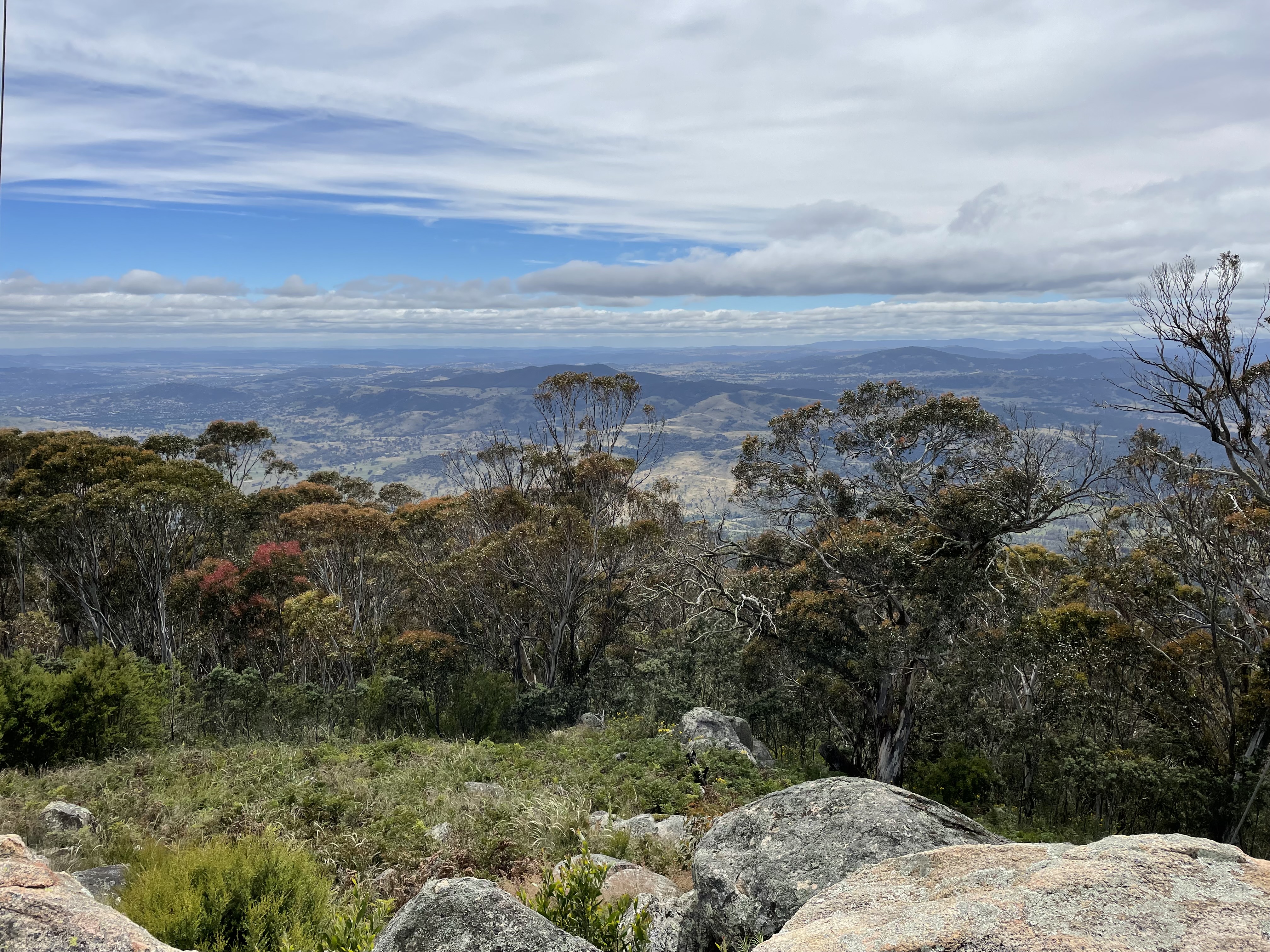
The walk commenced at the Booroomba Rocks carpark and we quickly walked up the track from there to Booroomba Rocks itself. From there we could look down Blue Gum Creek and the route we were to follow.
After taking in the views we went off-track along the ridge to the northeast and descended to the unnamed creek at around map reference 55H FA 81508 63972. This was quite a steep and rocky section of the walk.
Finishing our descent we proceeded in a roughly northerly direction down to Blue Gum Creek, where we could look back at Booroomba Rocks from below.
General Information
This walk began at the Rendezvous Creek car park off Boboyan Road. We initially thought we might head towards Middle Creek and see how far up the creek we could penetrate, but really we wanted the walk to be flexible.
We started out by following the walking trail over the bridge to the other side of Rendezvous Creek and up to the rest area. From here we took a pretty much straight line towards the mountain gap where we wanted to join Middle Creek. Some good views along the way of the Rendezvous Creek valley to the north and Yankee Hat to the south west.
We stayed on the southern side of Middle Creek, intending to cross at the concrete ford on Middle Creek Track at map reference 55H FA 77939 42941. While we could cross the ford easily enough, we were unable to get across the swampy ground on the other side. We therefore had to continue along Middle Creek until we found a spot we could jump across. On the northern side of Middle Creek we made our way to the Rendezvous Creek Trail, which we followed for a while before going back to the start point via the walking track we had followed before.
General Information
General Information
This walk began at the Honeysuckle Creek Tracking Station site car park at the end of Apollo Road. We walked down to the campsite and turned off onto the walking track towards Booroomba Rocks at map reference 55H FA 78928 60481. This is a very picturesque and easy-to-follow track that took us to the Booroomba Rocks car park. We then followed the track up to Booroomba Rocks and took in the magnificent views:
This is a great way of extending the otherwise short walk to Booroomba Rocks from the Booroomba Rocks car park. Sadly and inexplicably I failed to take any pictures of the track from Honeysuckle to Booroomba. My bad.
It having been some time since I'd climbed Mt Tennent from the Namadgi Visitor Centre, and since the new section of walking trail had recently opened, I decided to try it again. The first section of track, up to the top of the ridge, was unchanged and included the view from Cypress Pine Lookout:
At the top of the ridge I followed the new walking track to the summit. I returned via the old route down the management trail and along the ridge, and then straight back down the mountain again.General Information
General Information
This track starts at the Yerrabi Track carpark on Boboyan Road about 4.5 kilometres of the Hospital Hill Lookout. The track is quite clear and easy to walk, at first through forest which is regenerating after last year's bushfire, and down to Little Dry Creek.
After crossing the creek the Track climbs steadily towards Boboyan Trig, with some views opening up to the east and the south (Boboyan Valley):
Continuing past the trig the track goes down to a rock outcrop on the western side of Boboyan Hill. Steps have been placed in the rocks to take walkers down to the Tor Lookout where there are great views of Brindabella peaks including Mt Namadgi, Yankee Hat, Mt Kelly, Mt Gudgenby and Sentry Box Mountain.
After a break for lunch we climbed back up to the trig and returned along the track back to the carpark.
General Information
NOTE: Blythburn Cottage and most of this walk are on privately leased land. We undertook the walk with the leaseholder's permission, for which we express our gratitude.
Route
Description
We started this walk at the point where the Smokers Trail meets the Corin Road. We first proceeded up management trails through native bushland and residual pine plantations to a point at map reference
55H FA 75654 68474. From here we had to find a walking track which headed east paralleling the south side of Punch Bowl Creek. This proved to be more difficult than we hoped since the rock cairn that was supposed to be there has disappeared. Eventually we found it on the eastern side of the management trail slightly up from the point where it turns sharply to the left. It's a bit tricky to pick out initially, but obvious once you see it.
We followed the trail and after a short time started to hear roaring waters ahead: the waterfalls on Punch Bowl Creek.
The trail continues through some very beautiful bushland...
...until it clears to give some more open views to the east.
Eventually the trail comes to a gate at the border of Namadgi National Park, at which point there are some old vehicular tracks leading through the private lease land. We followed these through White Horse Flat and into an open valley. With thistles.
After some looking around we located Blythburn Cottage and paused there for lunch. Blythburn was the home of "pastoralist and poet" Elizabeth McKeahnie, from 1882 until her death in 1919. It's well worth following the link to find out more about this fascinating woman.
We headed back pretty much the same way we had come. A slight glitch at the end where management trails marked on the map leading back down to Corin Road seem to have disappeared over time, and this added a bit of distance to the overall tally.
General Information
The starting point for this walk was the locked gate on Old Boboyan Road, about one kilometer from Boboyan Road.
Passing through the gate we followed Old Boboyan Road through Boboyan Valley with Naas Creek on our right and views of snow-capped mountains.
At about the 2 kilometer point we reached the Boboyan Homestead ruin just off the road on the left. There is not much left of the early-1900's homestead apart from foundation stones and the chimney, but it is in a beautiful elevated position above Naas Creek.
We continued along Old Boboyan Road until near the point where it crosses over Naas Creek.
We headed up Sams Creek Firetrail through to the 1960's-era Lutons Crutching Shed, where we paused for a break.
From here we decided to look for the Lone Pine Homestead ruin, taking a shortcut through the bush to Grassy Creek Firetrail. Although we were looking in the right place we didn't manage to find the ruin. We suspect that it may have been obscured among the fallen trees and bushfire damage, but maybe we just didn't look well enough.
We started our return journey back the way we came along the Grassy Creek Firetrail with Sheep Station Creek on our left. The Creek was particularly spectacular.
After passing through the forested are on our right we cut across country back to Old Boboyan Road which we followed back to our starting point.
Most of the area we walked through was not affected by the 2020 bushfires, although the area north of Sheep Station Creek was burnt. To get through to this part of Namadgi National Park, however, we had to drive through almost constant severe bushfire damage south of Apollo Road.