Showing posts with label 10-15 kilometers. Show all posts

Wednesday, 2 April 2025

Tidbinbilla Nature Reserve: Pierce Hill

General Information


Grading: medium
Distance:  14.25 kilometers

Total climb:  675 meters
Time taken:  4 hours 45 minutes
Map:  Cotter Dam 8627-2N, 1:25 000, Tidbinbilla 8627-2S, 1:25 000
Start point distance by road from Canberra GPO:  31 kilometers
Start point map grid reference:  55H FA 73871 83758
Destination map grid reference:  55H FA 72654 80387
End point:  same as start

Route


Description

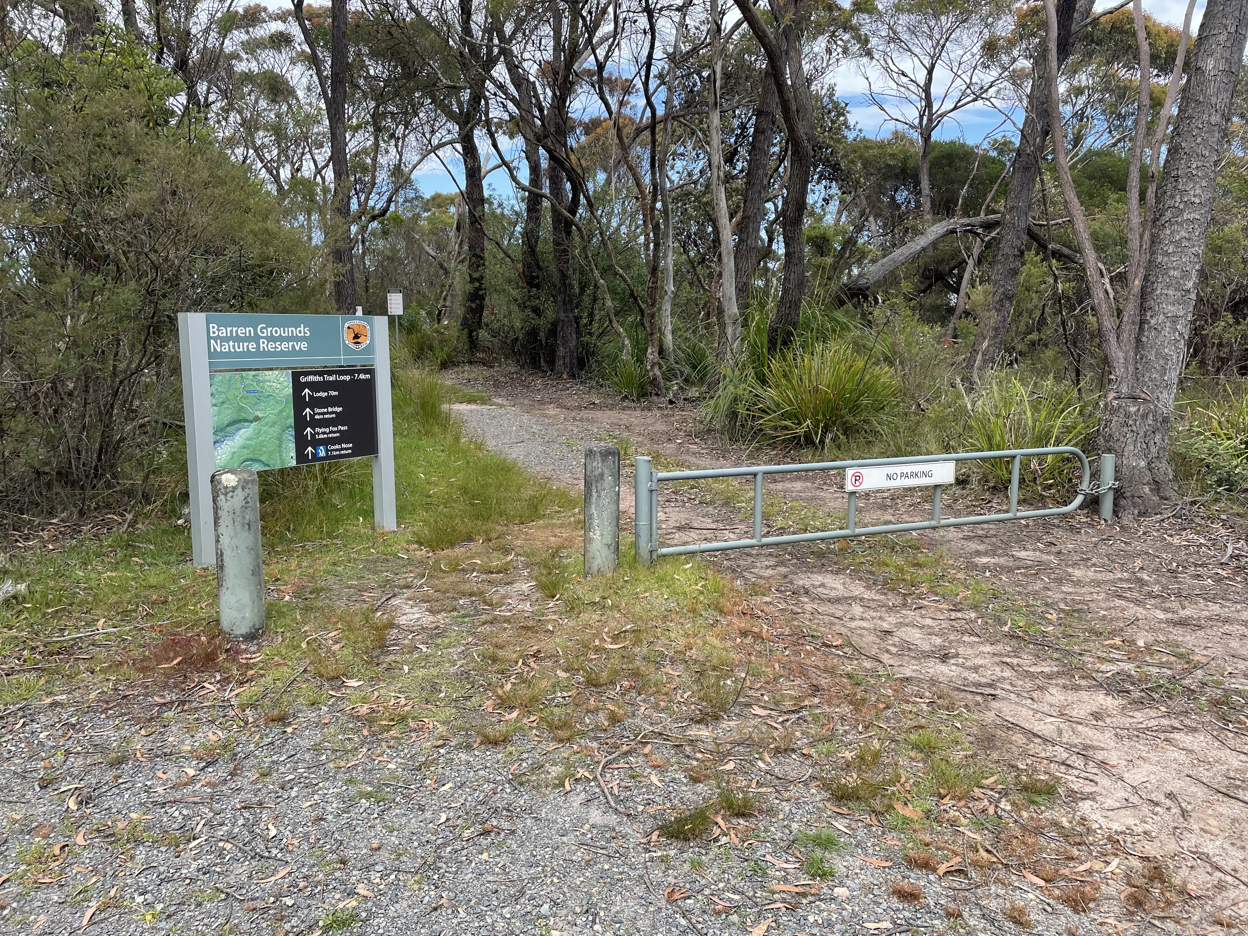
This walk commenced at the locked gate on the Tidbinbilla Range Road at map reference 55H FA 73871 80387. Proceeding past the gate, we walked along the road to Pierce Hill, slightly off the road to the left. Some nice views along the way.


Continuing past Pierce Trig to the south we came to a track on the left (map ref. 55H FA 72775 79977) that leads down a ridge towards Oakey Creek. This is quite steep and treacherous initially.


The track winds through some very nice bushland looking back towards Pierce Hill before entering Pierces Creek Pine Forest.


We followed forestry trails back to our starting point.

Wednesday, 5 March 2025

Namadgi National Park: Booroomba Rocks, Blue Gum Creek and Bushfold Flats

General Information

 
Grading:  hard 
Distance: 14.9 kilometers 
Total climb: 606 meters 
Time taken: 7 hours 45 minutes
Maps: Corin Dam 8626-1N 1:25 000, Williamsdale 8726-4N 1:25 000
Start point distance by road from Canberra GPO:  56 kilometers 
Start/end point map grid reference:  55H FA 80550 62138 
End Point:  Same as start
 

Route


Description

This walk was led by the Brindabella Bushwalking Club. I joined the walk as a guest.

The walk commenced at the Booroomba Rocks carpark and we quickly walked up the track from there to Booroomba Rocks itself. From there we could look down Blue Gum Creek and the route we were to follow.


After taking in the views we went off-track along the ridge to the northeast and descended to the unnamed creek at around map reference 55H FA 81508 63972. This was quite a steep and rocky section of the walk.


Finishing our descent we proceeded in a roughly northerly direction down to Blue Gum Creek, where we could look back at Booroomba Rocks from below.


 We stopped along the creek for lunch.


We followed Blue Gum Creek to the northeast, crossing the creek many times and rock-hopping to find the best path. After walking about 2.5 kilometers along the creek we came to a management trail that follows Georges Creek to the south. We followed this to Bushfold Flats, where we took the Australian Alps Walking Track back to our starting point.

Saturday, 28 December 2024

Yass Distrct: Mundoonen Nature Reserve South of the Hume Motorway

General Information

Grading:  medium
Distance:    15 kilometers
Total climb:    733 meters
Time taken:   4 hours 25 minutes
Maps:   Jerrawa 8728-3N 1:25 000
Start point distance by road from Canberra GPO:   65 kilometers
Start point map grid reference:  55H FB 87265 44055
Destination map grid reference:  none
End point:  Same as start
 

Previous Similar Walks

14 November 2020

Route


Description

This was very similar to the walk done in 2020 (link above).


Wednesday, 13 November 2024

Canberra Nature Park: Red Hill, Davidson Trig and Mt Mugga Nature Reserve

General Information

Grading: easy
Distance:   12 kilometers
Total climb:   428 meters
Time taken:   2 hours 50 minutes
Maps:   Canberra 8627-3N 1:25 000
Start point distance by road from Canberra GPO:   9.3 kilometers
Start point map grid reference:  55H FA 91054 87473
Destination map grid reference:  Red Hill 55H FA 92384 88494
                                                    Davidson Hill 55H FA 92290 87556
End point:  same as start
 

Route


Description

This walk was identical to the one completed on 25 June 2019 (link).


Wednesday, 11 September 2024

Uriarra: Two Sticks Hill, Sherwood Daffodils and Dowling Trig

General Information

Grading:  medium
Distance:   10.9 kilometers
Total climb:   544 meters
Time taken:   4 hours
Maps:   Cotter Dam 8627-2N 1:25 000
Start point distance by road from Canberra GPO:   32 kilometers
Start point map grid reference:  55H FA 74137 95543
Destination map grid reference:     Two Sticks Hill    55H FA 71374 95813  
                                                        Sherwood Daffodils   55H FA 72104 95061
                                                        Dowling Trig   55H FA 73523 95090
End point:  Same as start
 

Route


Description

As usual, this walk started at the small parking area off Mountain Creek Road. We followed the track up to the top of the ridge, and just past the fence we headed off to the minor track on the right, travelling north at first and then turning west. Where the track turned south again we continued west, following a  trail through some nice native forest.

Eventually we came to the road on the east side of Two Sticks Hill, and turning right we followed the road up to the ridge. This was very steep and required a few short rest stops. The pictures don't do justice to the steepness of this trail.

 
At the top of the ridge we followed a clear walking trail, past the NSW/ACT border marker to the summit of Two Sticks Hill. From the summit the walking trail continues to the south, but eventually turns 180 degrees back to the north east. This caused us some confusion, and we debated continuing south through the steep and thick bush before deciding to follow the trail and see where it took us. As luck would have it, the trail actually goes back to the same road we used to climb up the hill at map reference 55H FA 71665 95625. We followed the track south to the Sherwood daffodils.

After a break among the daffodils we cut across the creek and followed an animal track to link up with the initially steep trail to Dowling Trig. Some nice views from this trail.


From the summit we went bush down the northern side of the hill. This was reasonably steep, but easy walking. Getting back to Sherwood Road by this route, we walked back to the starting point.

Thursday, 30 May 2024

Tidbinbilla Nature Reserve: Johns Peak

General Information

Grading:  hard 
Distance:  14.3 kilometers 
Total climb:  708 meters 
Time taken:  3 hours 20 minutes 
Map:  Tidbinbilla 8627-2S, 1:25 000 
Start point distance by road from Canberra GPO:  52 kilometers 
Start point map grid reference:  55H FA 71471 74628 
Destination map grid reference:  55H FA 71378 77330 
End point:  same as start
 

Previous Similar Walks

6 June 2019, 21 June 2019, 16 July 2020

Route


Description

Another hike to Johns Peak from the Mountain Creek Carpark, following the official track. I had originally planned to continue on to Tidbinbilla Peak, but the weather conditions at the top of the range were awful: cold temperature, strong winds and heavy clouds.

Refer to previous walks for more details.


Thursday, 4 April 2024

Namadgi National Park: Rendezvous Creek, Middle Creek and Yankee Hat

General Information

Grading : hard
Distance:  14.7 kilometers 
Total climb:  359 meters
Time taken:  5 hours 23 minutes
Map:  Rendezvous Creek 8626-1S, 1:25 000 
Start point distance by road from Canberra GPO:  63 kilometers 
Start point map grid reference:  55H FA 80599 44237
Destination map grid reference:  no particular destination
End point:  same as start

Route


Description

This walk began at the Rendezvous Creek car park off Boboyan Road. We initially thought we might head towards Middle Creek and see how far up the creek we could penetrate, but really we wanted the walk to be flexible.

We started out by following the walking trail over the bridge to the other side of Rendezvous Creek and up to the rest area. From here we took a pretty much straight line towards the mountain gap where we wanted to join Middle Creek. Some good views along the way of the Rendezvous Creek valley to the north and Yankee Hat to the south west.


After walking through grassland for a while we entered some forest, which was moderately difficult to get through, eventually making our way to the northern side of Middle Creek.

The banks of the creek were quite high, nearly vertical, and too wide to jump. We therefore continued upstream until we found a convenient fallen tree trunk across the creek. Having crossed over we continued walking upstream. It became increasingly difficult to get through the thick undergrowth, so we didn't get too far before deciding to stop for morning tea. At this point we took the courageous decision to leave Middle Creek and see how far we could ascend Yankee Hat North up its northern spur. This proved to be very difficult, with a very steep slope, rock outcrops and thick undergrowth to navigate. Just shy of the 1200 meter contour we found a rock outcrop where we could take in both lunch and the view, which included Mt Kelly, Mt Burbidge and Mt Namadgi.

Although the peak of Yankee Hat North appeared tantalisingly close, we decided against going any further up - it was too steep, too rocky, too overgrown, and we were too tired - and started to go down again by much the same route.

We stayed on the southern side of Middle Creek, intending to cross at the concrete ford on Middle Creek Track at map reference 55H FA 77939 42941. While we could cross the ford easily enough, we were unable to get across the swampy ground on the other side. We therefore had to continue along Middle Creek until we found a spot we could jump across. On the northern side of Middle Creek we made our way to the Rendezvous Creek Trail, which we followed for a while before going back to the start point via the walking track we had followed before.

Thursday, 26 October 2023

Yanununbeyan State Conservation Area: Spring Creek Gorge

General Information


Grading:  medium
Distance:   10.2 kilometers
Total climb:   407 meters
Time taken:   4 hours  20 minutes
Maps:   Captains Flat 8726-1N 1:25 000
Start point distance by road from Canberra GPO:   50 kilometers
Start point map grid reference:  55H GA 13034 63448
Destination map grid reference:  55H GA 12805 60486
End point:  same as start

Route


Description

I had previously done a version of this walk on 14 September 2018 (link), but this later route was considerably easier and arguably more interesting. As on the previous walk, we started at the day use area carpark off Woolcara Lane about 14 kilometers south of Captains Flat Road. We first climbed the ridge to the summit of Corner Hill and followed the Corner Hill Fire Trail to the south. Just before the ridge we were on started to get steeper as it approached the Queanbeyan River, we headed east and then south through some moderately difficult terrain (but not as difficult as the previous route following the river).

Eventually we found ourselves on a ridge line taking us due south towards our destination. This was easy walking through dry forest. The most interesting sight was a rusty old truck in the middle of nowhere partly crushed by a fallen tree.

Eventually the ridge we were on fell down towards the river and with a bit of a final steep descent we were in the Spring Creek gorge.


We paused in the gorge for lunch and then climbed out the same way we had climbed down. We made our way to another ridge further to the east of the one we had followed to get to the gorge, and this took us north to Woolcara Lane. We walked along Woolcara Lane back to our starting point.

Thursday, 6 April 2023

Kowen Forest: Glenburn Heritage Precinct

General Information

Grading:  easy
Distance:   11.9 kilometers
Total climb:   236 meters
Time taken:   2 hours 30 minutes
Maps:   Bungendore 8727-2N 1:25 000
Start point distance by road from Canberra GPO:   24.7 kilometers
Start point map grid reference: 55H GA 11271 87328
Destination map grid reference:  none
End point:  same as start
 

Route


Description

This walk started at a small car parking area before the gate on Charcoal Kiln Road, just off the Kings Highway about 200 meters past the ACT border. There is a map just inside the gate showing a number of walking options in the historic precinct, but I chose the Precinct Loop Trail and decided to do it counter-clockwise, although I have since done it in the other direction as well. The walk is pretty well signposted.

I started walking up Charcoal Kiln Road and after a bit over 3 kilometers came to the Glenburn Homestead area. There is a mown path off to the right which loops around the homestead passing by the shearing quarters and shearing shed, the Colverwell grave site and the homestead itself.


After getting back to Charcoal Kiln Road I continued past the Kowen school and the charcoal kiln sites. After the gate I turned south and followed River Road, which follows Glen Burn Creek to its junction with the Molonglo River. I continued along River Road until map reference 55H GA 08684 88952 where I turned to the right to view the Coppins Homestead ruins.


I then backtracked to map reference 55H GA 09133 89181where I turned off River Road and crossed Glen Burn Creek. At the top of the next rise I had a great view of Colliers Homestead ruins in the distance, and soon came to the ruin itself.


I continued to follow the signs to Mt Atkinson, and from there back to Charcoal Kiln Road and the car park.

Wednesday, 14 December 2022

Barren Gounds Nature Reserve: Cooks Nose and the Natural Stone Bridge

General Information

Grading: easy
Distance: 10 kilometers 
Total climb: 239 meters 
Time taken: 2 hours 50 minutes
Map: Kangaroo Valley 9028-4S 1:25 000 
Start point distance by road from Canberra GPO:  200 kilometers
Start point map grid reference:  56H KG 90433 60727
Destination:  Cooks Nose 56H KG 88801 58583
                      Natural Stone Bridge 56H KG 91044 59371
End Point:  Same as start
 

Route


Description 

 
Barren Grounds Nature Reserve is to the south of Jamberoo Mountain Road, about 14 kilometers from the Illawarra Highway (at the Robertson Pie Shop).
 
This walk commenced at the Barren Grounds Picnic Area, about 1 kilometer to the right off Jamberoo Mountain Road. There are two trailheads at the Picnic Ground, but both are well signposted.


Naturally we followed the trail to Cooks Nose at the southern end of the Picnic Area. This took us initially through some flat, fairly open terrain with many varieties of wildflower still in bloom.


The trail starts to go up and down a bit after a while and is quite rocky.


Eventually we came to a walking track off to the right which took us to Cooks Nose, and some very good views into the Brogers Creek and Lamonds Creek gorges, and down towards Kangaroo Valley in the distance.

After taking in the views for a while we headed back the way we had come, but turned off at the Stone Bridge sign to have a look at the natural stone bridge about 1 kilometer away. The stone bridge itself is interesting without being spectacular, but the area around it (Lamonds Creek) is quite nice despite many mosquitos coming to feed on me.


After a break down by the Creek we retraced our steps back to our starting point.

Thursday, 10 November 2022

Tidbinbilla Nature Reserve: Gibraltar Peak via Devils Gap

General Information

Grading: medium
Distance: 12 kilometers 
Total climb: 575 meters 
Time taken: 3 hours
Map: Tidbinbilla 8627-2S 1:25 000 
Start point distance by road from Canberra GPO:  46 kilometers
Start point map grid reference:  55H FA 74405 73675
Destination:  55H FA 76675 74314
End Point:  Same as start
 

Route 

 
Note: Forget about the straight line shown below at the end of the walk. It appears that my GPS watch had a slight glitch.


Description 

This walk started at the Devils Gap carpark on the Tidbinbilla Reserve ring road. I  followed the Devils Gap fire trail past the gate at the border of the Tidbinbilla Nature Reserve and down to the intersection of numerous management trails at map reference 55H FA 75791 72572.


I took the first trail on the left, which headed back in the general direction I had come from.

This trail is quite rough and a bit overgrown, so I started my habitual snake scanning as I progressed up the hill. At map reference 55H FA 75730 73058 there was another trail heading off to the left.

I followed this trail around to the top of the hill just north of Devils Gap. At map reference 55H FA 75630 73273 I left the track and went bush, following the ridge line down the first hill and up and down a second. The bush was not easy, but not particularly difficult either. Initially it was a bit like this:

Toward the top of the second hill, however, it became a bit rocky and scrubby and my progress was a lot slower. I was also looking out for snakes behind every rock and fallen branch.

By following the ridge I eventually came to the fire trail leading up to Gibraltar Peak, which I had to climb once again to take in the view.

Coming back down from the Peak to the management trail I turned left and went down a very steep slope and followed the signs towards Woods Reserve. This took me along the Gibraltar South fire trail and back to the Devils Gap trail. From there it was an easy walk back to the car park.