Tuesday 28 October 2014

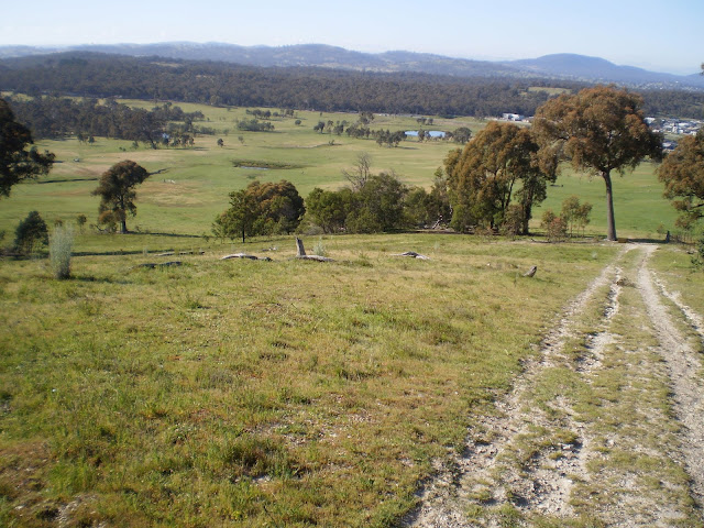
Canberra Nature Park: One Tree Hill (1)

General Information


Distance: 7.2 kilometers return
Total climb: 232 meters
Time taken: 1 hour 50 minutes
Map:  Hall 8727-4S, 1:25 000
Guide:  ACT Centenary Trail - link
Start point distance by road from Canberra GPO:  15 kilometers
Start point map grid reference:  55H FB 88578 06552
Destination map grid reference:  55H FB 90528 09191
End point:  same as start


See blog for later identical walk on 23 July 2016.

Tuesday 21 October 2014

Tidbinbilla Nature Reserve: Devils Gap

General Information


Distance:  4 kilometers
Total climb:  190 meters
Time taken:  about 1 hour
Map:  Tidbinbilla 8627-2S, 1:25 000
Guide:  link
Start point distance by road from Canberra GPO:  46 kilometers
Start point map grid reference:  55H FA 79265 73679
Destination map grid reference:  55H FA 75293 72706
End point:  same as start


Route


http://maps.six.nsw.gov.au/

Description


This walk starts at the Devils Gap carpark on the eastern side of the Tidbinbilla ring road. From the carpark I followed the Devils Gap fire trail in a short but steep climb up to Devils Gap. There were some views along the way, although most of the walk was through fairly thick forest.


From Devils Gap it is possible to go on for about 1 kilometer to reach Corin Road near Woods Reserve. As I had tacked this walk onto an already full day of walking, however, I decided to stop at Devils Gap and return the same way. While this isn't a particularly scenic walk, the climb up the range gets the heart pumping. It's a good short walk for the sake of having a walk through the forest.

Tidbinbilla Nature Reserve: Hanging Rock, Ashbrook Fire Trail, Koala Enclosure, Peppermint Trail and The Sanctuary

General Information


Distance:  8.5 kilometers
Total climb:  about 110 meters
Time taken:  about 2 hours
Map:  Tidbinbilla 8627-2S, 1:25 000
Guide:  link
Start point distance by road from Canberra GPO:  49 kilometers
Start point map grid reference:  55H FA 72373 72783
Destination map grid reference:  loop walk
End point:  same as start


Route


http://maps.six.nsw.gov.au/

Description


This walk is a combination of several walking trails in the Tidbinbilla nature Reserve. I started at the Hanging Rock carpark and headed first along Ashbrook Creek towards Hanging Rock, a group of granite tors once used for shelter by local Aboriginal people.


Retracing my steps back to the carpark, I then walked up the Ashbrook fire trail. This follows the very pretty Ashbrook Creek west for a bit over one kilometer before turning north.


The fire trail runs through thick forest and eventually meets Mountain Creek, which I was able to cross without getting my feet wet thanks to some well-placed rocks.


Form Mountain Creek there is a final climb to the end of the Ashbrook fire trail at Mountain Creek Road. I turned right down Mountain Creek Road, all the time scanning the trees to my right for koalas in the koala enclosure. No luck this time. Reaching the Tidbinbilla ring road, I went into the koala enclosure and walked the 1.8 kilometer Peppermint Trail loop before entering the northern end of the Sanctuary.


Walking through the Sanctuary I eventually came to the main Sanctuary entrance and back onto the ring road which I followed to the left back to my car. This is a nice series of walks that allow you to see many of the attractions of this part of the Nature Reserve.

Saturday 11 October 2014

Canberra Nature Park: Shepherds Lookout, Molonglo River Plank Bridge and Uriarra Loop (1)

General Information


Distance:  9.3 kilometers
Total climb:  275 meters
Time taken:  3 hours 15 minutes
Map:  Umburra 8727-1S 1:25 000
Guide:  Marion Stuart, Best Bush, Town and Village Walks in and around the ACT (2012), 
                                     pp.80-83 & 76-79.
Start point distance by road from Canberra GPO:  19 kilometers
Start point map grid reference:  55H FA 809211 97979
Destination map grid reference:  Shepherds Lookout - 55H FA 79899 98441
                                                    Molonglo River plank bridge - 55H FA 78470 98044
                                                    Uriarra Crossing - 55H FA 77646 98169
End Point:  Same as start


I did this walk again on 9 August 2015. Refer to blog for this later walk.

Thursday 9 October 2014

Canberra Nature Park: Mulligans Flat North

General Information


Distance:  4.7 kilometers
Total climb:  120 meters
Time taken:  about 1 hour
Map:  Hall 8727-4S 1:25 000
Guide:  Marion Stuart, Best Bush, Town and Village Walks in and around the ACT (2012). 
                                     pp. 98-101.
Start point distance by road from Canberra GPO:  17 kilometers
Start point map grid reference:  55H FB 96460 07752
Destination map grid reference:  loop walk
End point:  same as start


Route


http://maps.six.nsw.gov.au/

Description


This walk starts at the carpark on the northern side of Mulligans Flat Road about 2.3 kilometers northeast of Horse Park Drive. Although the walk starts right on the edge of suburbia, it takes you through some very nice rural and forest landscapes along a well- marked trail. I chose to do the walk in a clockwise direction, which means that the first 1.4 kilometers is a relentless 100 meter climb, almost to Oak Hill.


From there I turned east to follow the trail along the fence line that is the ACT/NSW border. There are some nice rural views from this section with the city of Canberra in the background to the south.


After a while the track (and the border fence) descends to the south back towards Mulligans Flat Road. There are some more nice spots here.


Staying within the Nature Reserve, the track parallels Mulligans Flat Road back to the carpark. A nice view here back towards Oak Hill.


This is a very enjoyable (and quite popular) walk which is easily accessible. The trail is easy to follow, and apart from the last bit of climb up towards Oak Hill, not all that strenuous.