General Information
Grading: Hard
Distance: 13.9 kilometers
Total climb: 805 meters
Time taken: 4 hours
Map: Williamsdale 8726-4N, 1:25 000
Start point distance by road from Canberra GPO: 36 kilometers
Start point map grid reference: 55H FA 87286 66083
Destination map grid reference: 55H FA 85340 64040
End point: same as start
Previous Similar Walks
Route

Description
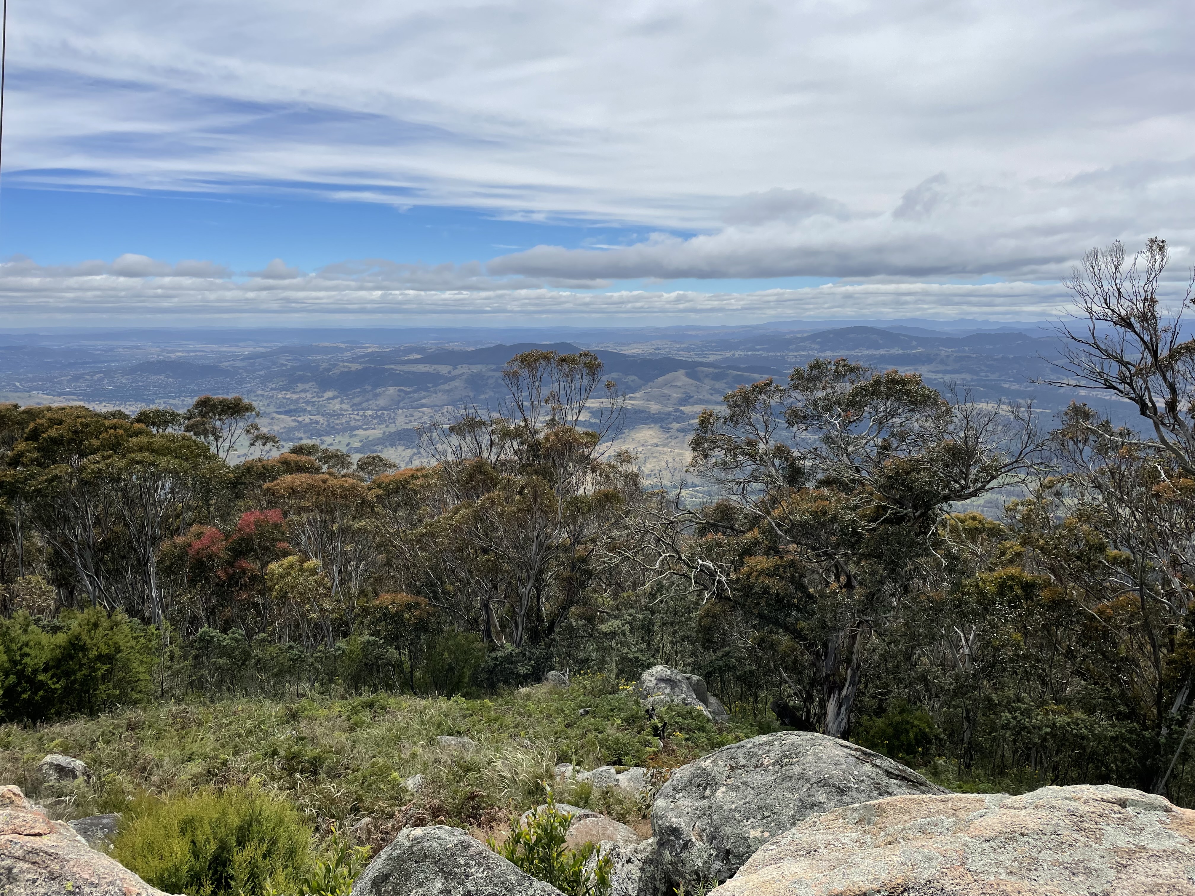
It having been some time since I'd climbed Mt Tennent from the Namadgi Visitor Centre, and since the new section of walking trail had recently opened, I decided to try it again. The first section of track, up to the top of the ridge, was unchanged and included the view from Cypress Pine Lookout:
No comments:
Post a Comment