Thursday, 25 June 2020

Canberra Nature Park: Woodstock Nature Reserve

General Information

Grading:  medium 
Distance:  8.5 kilometers 
Total climb:  250 meters 
Time taken:  2 hours 
Map:  Umburra 8727-1S 1:25 000 
Start point distance by road from Canberra GPO:  26 kilometers 
Start point map grid reference:  55H FA 77534 98832 
Destination map grid reference: ACT/NSW border - 55H FB 78466 00899 
End Point:  Same as start

Route

http://maps.six.nsw.gov.au/

Description

Having had a bit of a look at Woodstock Nature Reserve the previous week (link), I decided to go back there and explore it to the point where the Murrumbidgee River reaches the NSW border. In the end we didn't go quite that far, but still were able to explore a large part of the Reserve.

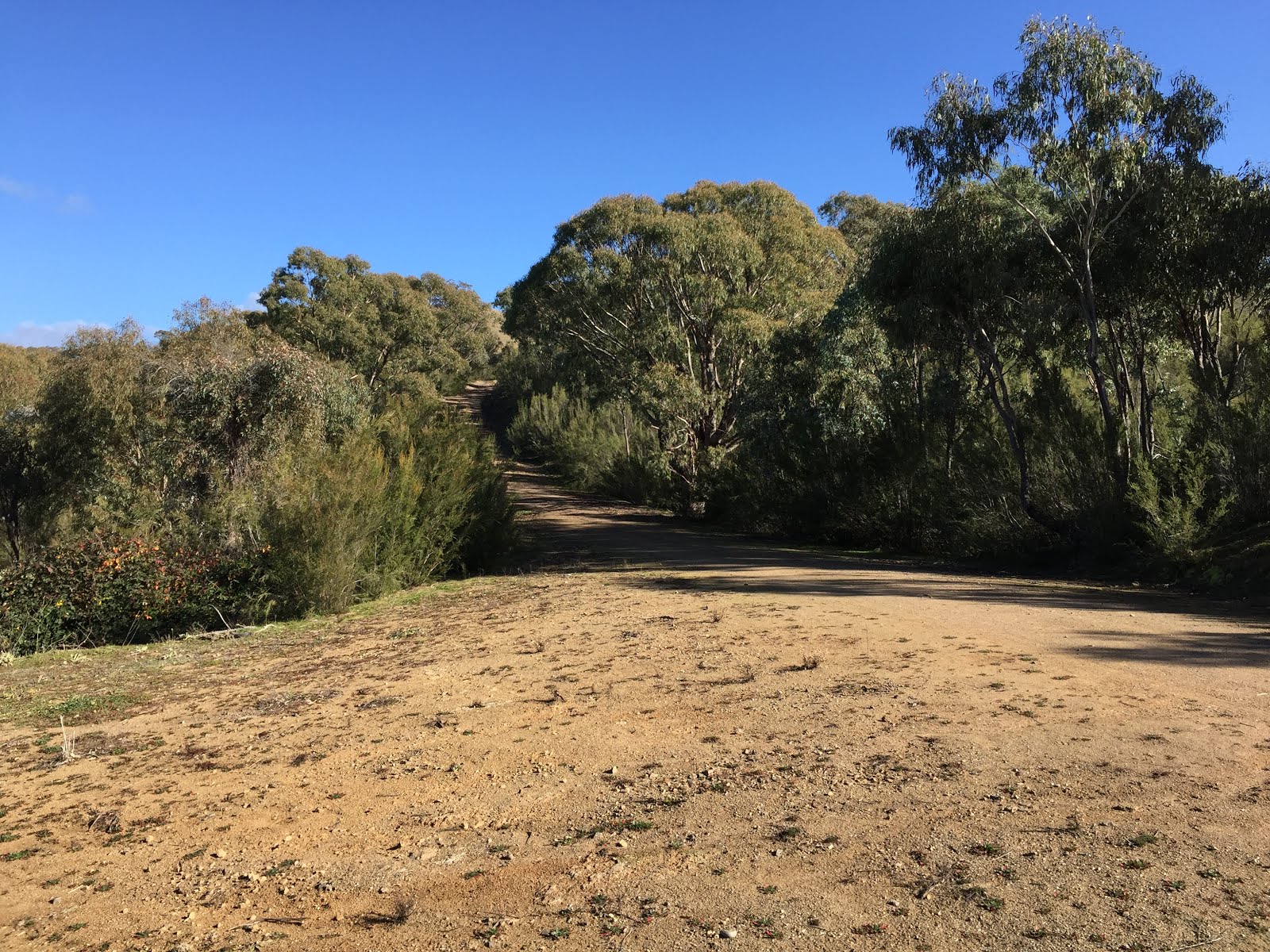
The starting point for the walk was the carpark off Fairlight Road about 900 metres north of Uriarra Crossing. We walked down the management trail in an easterly direction, following the river until it bends in a more northerly direction under the steep rocks below Shepherds Lookout on the far side of the river.

Not far from the point the management trail terminates, although there is a faint track continuing along the river to the north. Unfortunately there are some rather nasty bushes growing next to the track that at this time of the year were shedding their seeds on clothing as we passed. I named these porcupine bushes for obvious reasons:

The spines proved very difficult to completely remove from wool knit clothes and I ended up trashing that particular jumper when I got home.

The annoyance of the spines was partly relieved by another glimpse of the two wedge-tailed eagles that I had seem on my two previous walks. We were able to get quite close to a tree that one of them was perching on, but still too far away to get a decent picture:


About 750 metres from the NSW border we reached the management trail that would take us back to our starting point by a mostly different route. We decided that there was little to be gained from going any further along the river to the border as we originally intended, so started our return journey. It was a moderately steep climb from the river up to a point near the Woodstock property where there were some good views in most directions.

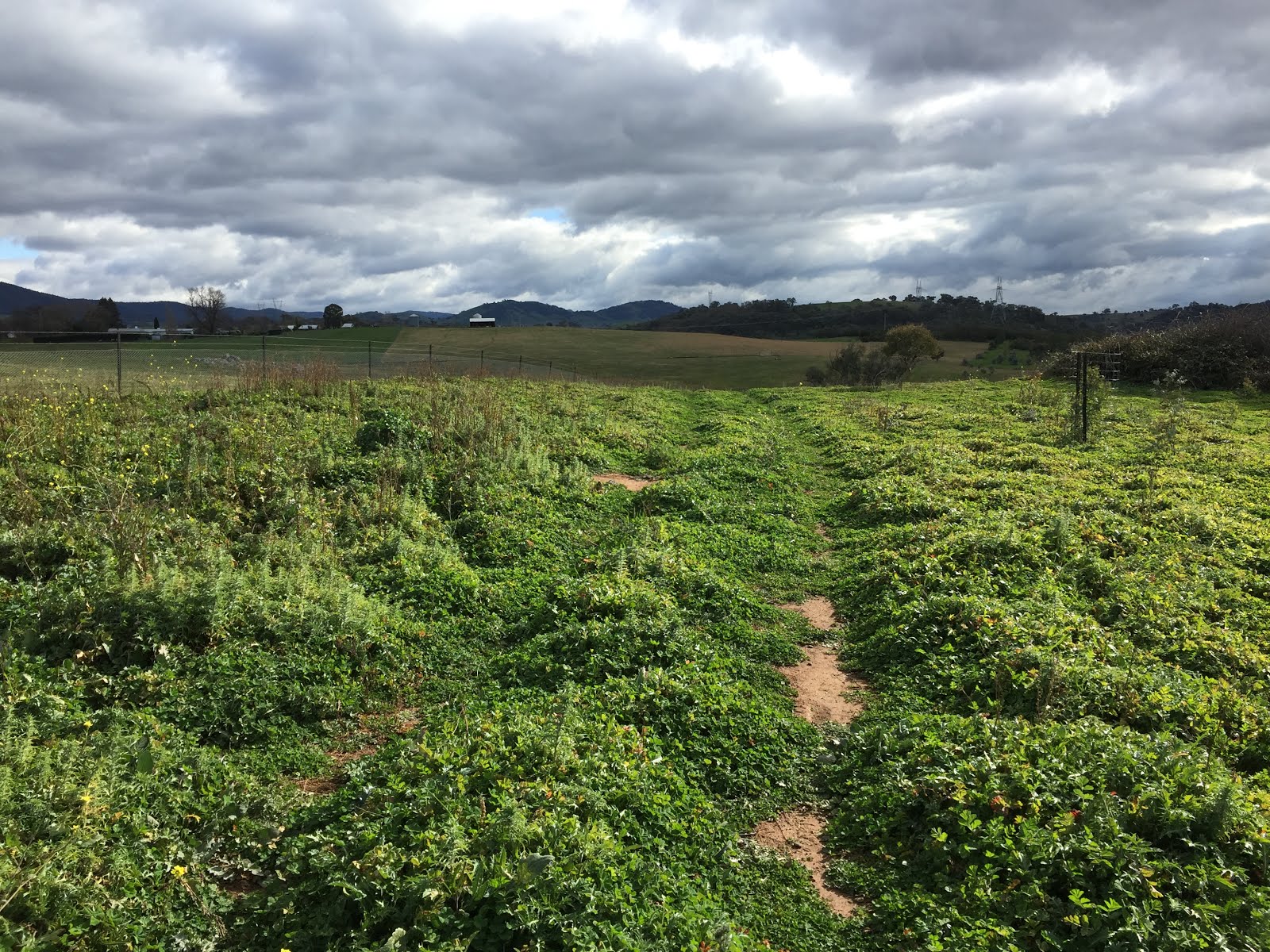
At around map reference 55H FA 78888 98875 the track forks, although the right hand track is very faint and partly overgrown. Nevertheless, we were able to follow this track back down to the main management trail at the river. From there it was an easy walk back up to the carpark.

Thursday, 18 June 2020

Canberra Nature Park: Uriarra Loop and Woodstock Nature Reserve

General Information

 
Grading:  medium 
Distance:  12.4 kilometers 
Total climb:  400 meters 
Time taken:  2 hours 20 minutes 
Map:  Umburra 8727-1S 1:25 000 
Start point distance by road from Canberra GPO:  19 kilometers 
Start point map grid reference:  55H FA 809211 97979 
Destination map grid reference: Uriarra Crossing - 55H FA 77646 98169 
End Point:  Same as start


Previous Similar Walks

Uriarra Crossing: 11 October 2014, 9 August 2015

Route

 
http://maps.six.nsw.gov.au/

Description

I had done most of this walk - from the Shepherds Lookout carpark to Uriarra Crossing and back - a number of times previously (see link), but this time I took the opportunity to have a brief look at the Woodstock Nature Reserve.

Crossing to the western side of the Murrumbidgee at Uriarra Crossing I walked up Fairlight Road about 900 meters to the carpark at the entry to Woodstock Nature Reserve. From there I followed the track about 400 meters to an open area on the right, where I had some nice views back along the track and south along the Murrumbidgee towards the distant ranges. 

From this open area I randomly decided to head bush back down towards the river and loop back to Uriarra Crossing. The bush was fairly light, with only the occasional blackberry to cause discomfort, but near the river itself I found it all a bit muddy and decided to head back up the hill. Eventually I found the boundary fence for the private property marked as "Phencari" on the map and followed it back to the Woodstock Nature Reserve entrance, and from there back (mostly) the way I had come.

Tuesday, 16 June 2020

Canberra Nature Park: Denman Prospect to Molonglo River

General Information

Grading:  easy
Distance:   7.8 kilometers
Total climb:   160 meters
Time taken:   2 hours
Maps:   Canberra 8727-3N 1:25 000
Start point distance by road from Canberra GPO:   13 kilometers
Start point map grid reference:  55H FA 83932 92100
Destination map grid reference:   n/a
End point:  Same as start

Route


http://maps.six.nsw.gov.au/

Description

This walk started from the shopping centre at Denman Prospect at the end of Holborow Avenue. Initially climbing up towards the hill on the left there is a straight track down towards the Molonglo River. As we came close to the river we saw a pair of wedge-tailed eagles, one of which flew directly above us. When we came close to the river we turned left and followed it downstream, finding the likely nest of the two eagles we had just seen.

Continuing downstream along the bank of the river we saw many kangaroos and wallabies on the hillside to our left, and found some very nice spots on the river.

When we came to a point where further progress was blocked by fallen timber we headed back along the river bank until we found the track again. This followed the river for some time before we veered away from it and made our way back to the starting point.

Thursday, 11 June 2020

Canberra Nature Park: One Tree Hill (4)

General Information

Grading:  easy 
Distance: 8 kilometers return 
Total climb: 250 meters
Time taken: 2 hours 
Map:  Hall 8727-4S, 1:25 000 
Guide:  ACT Centenary Trail - link 
Start point distance by road from Canberra GPO:  15 kilometers 
Start point map grid reference:  55H FB 88578 06552 
Destination map grid reference:  55H FB 90528 09191 
End point:  same as start

Description

This was the same as previous walks to One Tree Hill (see link). It was interesting, however, because we walked through dense fog which only disappeared when we reached the summit.

Tuesday, 2 June 2020

Callum Brae Nature Reserve and Mt Mugga Mugga (2)

General Information

Grading: easy
Distance:   8 kilometers
Total climb:   210 meters
Time taken:   1 hour 50 minutes
Maps:   Canberra 8727-3N 1:25 000
Start point distance by road from Canberra GPO:   9.5 kilometers
Start point map grid reference:  55H FA 94629 85740
Destination map grid reference:   n/a
End point:  Same as start

Route


http://maps.six.nsw.gov.au/

Description

This walk was identical to the one completed on 28 May 2019 (link).

Tuesday, 19 May 2020

Tidbinbilla Nature Reserve: Ashbrook Fire Trail

General Information

Grading:  very easy 
Distance:  4 kilometers 
Total climb:  116 meters 
Time taken:  1 hour 
Map:  Tidbinbilla 8627-2S, 1:25 000 
Guide:  link 
Start point distance by road from Canberra GPO:  49 kilometers 
Start point map grid reference:  55H FA 72353 72785 
Destination map grid reference:  55H FA 73048 74180 
End point:  same as start

Route

http://maps.six.nsw.gov.au/

Description

Having left one car at the Koala Enclosure carpark, we drove to the Hanging Rock carpark (off the Tidbinbilla Loop Road) where we started the walk. We followed the fire trail along and then over Ashbrook Creek, heading up through some beautiful forest until we came to a fork in the road. The left fork went up to the end of the fire trail at Mountain Creek Road, but we chose instead to follow the right fork which goes back to the Tidbinbilla Loop Road following the koala enclosure fence.

You can view photographs from a previous walk that included the Ashbrook Fire Trail through this link.


Tuesday, 25 February 2020

Canberra Nature Park: One Tree Hill (3)

General Information

Grading:  easy
Distance: 7.2 kilometers return 
Total climb: 232 meters 
Time taken: 1 hour 50 minutes 
Map:  Hall 8727-4S, 1:25 000 
Guide:  ACT Centenary Trail - link 
Start point distance by road from Canberra GPO:  15 kilometers 
Start point map grid reference:  55H FB 88578 06552 
Destination map grid reference:  55H FB 90528 09191 
End point:  same as start

Description


This was the same as previous walks to One Tree Hill (see link).

Tuesday, 18 February 2020

Canberra Nature Park: Cooleman Ridge and Mt Arawang

General Information

Grading: easy
Distance:   8 kilometers
Total climb:   213 metres
Time taken:   2 hours
Maps:   Canberra 8727-3N 1:25 000; Tuggeranong 8727-3S 1:25 000
Start point distance by road from Canberra GPO:   16 kilometres
Start point map grid reference:  55H FA 84743 85116
Destination map grid reference:  Mt Arawang - 55H FA 85840 84231
End point:  same as start

Route

http://maps.six.nsw.gov.au/


Description

This walk was somewhat similar to the one undertaken on 7 January 2019 (link), but this one was a loop and started at the gate at the end of Darrell Place, Chapman. We followed the trail counterclockwise, climbing any peaks we came across to take advantage of the views. Arriving eventually at the walking path to the summit of Mt Arawang we climbed the many stairs to the peak before heading back along management trails to our starting point.

Saturday, 7 December 2019

Tidbinbilla Nature Reserve: Tidbinbilla Mountain

General Information

Grading: hard
Distance:  7.3 kilometers 
Total climb:  640 meters 
Time taken:  4 hours 45 minutes 
Map:  Tidbinbilla 8627-2S, 1:25 000 
Start point distance by road from Canberra GPO:  52 kilometers 
Start point map grid reference:  55H FA 71471 74628 
Destination map grid reference:  55H FA 69509 75951 
End point:  same as start

Route

http://maps.six.nsw.gov.au/

Description

This walk started at the Mountain Creek carpark in the Tidbinbilla Nature Reserve. We started by walking up the Camelback Firetrail and then on to the Lyrebird Trail, which we followed up to a point at grid reference 55H FA 70938 74643. Here there is an indistinct and unmarked foot track on the right. This started us on a long, uphill climb by a fairly direct route to Tidbinbilla Mountain.

The first point of note on the climb was at around 1240 meters elevation where there is a small lookout with a couple of benches. This gave some views back into the Tidbinbilla Valley...

... and towards Mt Domain.

Having taken a break there, we continued up another 200 meters in elevation where the track flattens and veers right towards Snowy Corner. Walking along the track here we had our first real glimpse of our destination. We also encountered the first of two snakes (either a Brown or a Tiger - who can tell?) sunning themselves on the track. After a brief stand-off while we glared at each other, the snake eventually slithered off when we started to move around to pass it.

From Snowy Corner the track curves around to the left up the ridge to the top of the mountain. Maybe only 50 meters from the summit we found the second snake, in this case almost certainly a Brown, with the same result: a staring competition followed by a reluctant serpentine retreat. Near the summit there was a clearing with some wildflowers still in bloom.

The summit of Tidbinbilla Mountain gives unobstructed views all around.

After a lunch break on the summit we headed back down the foot track, being particularly careful in the areas where we had seen the snakes (I had recorded these places on my GPS navigator). Luckily they were nowhere to be seen. After a steep, and in some places treacherous descent we made it back to the Lyrebird Trail (although there was an inevitable navigation error just before we reached it). Just for a bit of variety we went down the un-walked section of the Lyrebird Trail back to the carpark.

Tuesday, 10 September 2019

Uriarra: Sherwood Daffodils (1)

General Information

Grading: easy
Distance:   7.5 kilometers
Total climb:   207 meters
Time taken:   1 hour 45 minutes
Maps:   Cotter Dam 8627-2N 1:25 000
Start point distance by road from Canberra GPO:   32 kilometers
Start point map grid reference:  55H FA 74137 95543
Destination map grid reference:   55H FA 72104 95061
End point:  Same as start

Route


http://maps.six.nsw.gov.au/

Description

This walk started at a small carpark just off Mountain Creek Road 1.5 kilometres north of Uriarra Road. Proceeding through the gate, we followed a management trail roughly southwest for 2.5 kilometres before turning north through a rather nice open field which was once the site of the Sherwood Homestead.


After a short time we could see on the right the daffodils first planted by the Phillips family who settled there in 1863.


While there were a considerable number of flowers visible, I suspect that it will be a much more spectacular show in a few weeks' time.

We then walked back to the road and up a slight rise to the site of the graves of three members of the Phillips family. From there we returned the way that we came.