Thursday, 30 July 2020

Tidbinbilla Nature Reserve: Jedbinbilla

General Information

Grading:  easy
Distance:  8 kilometers 
Total climb:  238 meters 
Time taken:  2 hours 20 minutes 
Map:  Tidbinbilla 8627-2S, 1:25 000 
Start point distance by road from Canberra GPO:  43 kilometers 
Start point map grid reference:  55H FA 74538 75990 
Destination map grid reference:  n/a 
End point:  same as start

Route

http://maps.six.nsw.gov.au/

Description

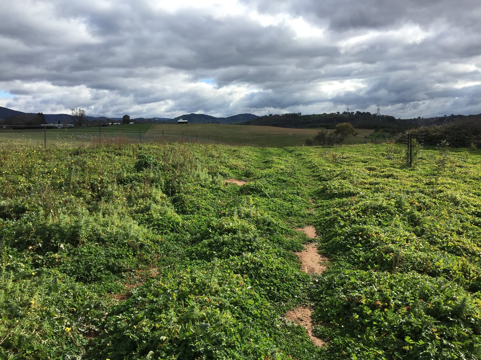
This walk started at Blewitts carpark. Our first challenge was to get across the Tidbinbilla River at Blewitts since there is no bridge and the water level was quite high after recent rain. After some exploration we found a fallen tree which I was able to balance-walk across, although my less agile co-walker took the lower branch which enabled him to balance with his hands on the main trunk.

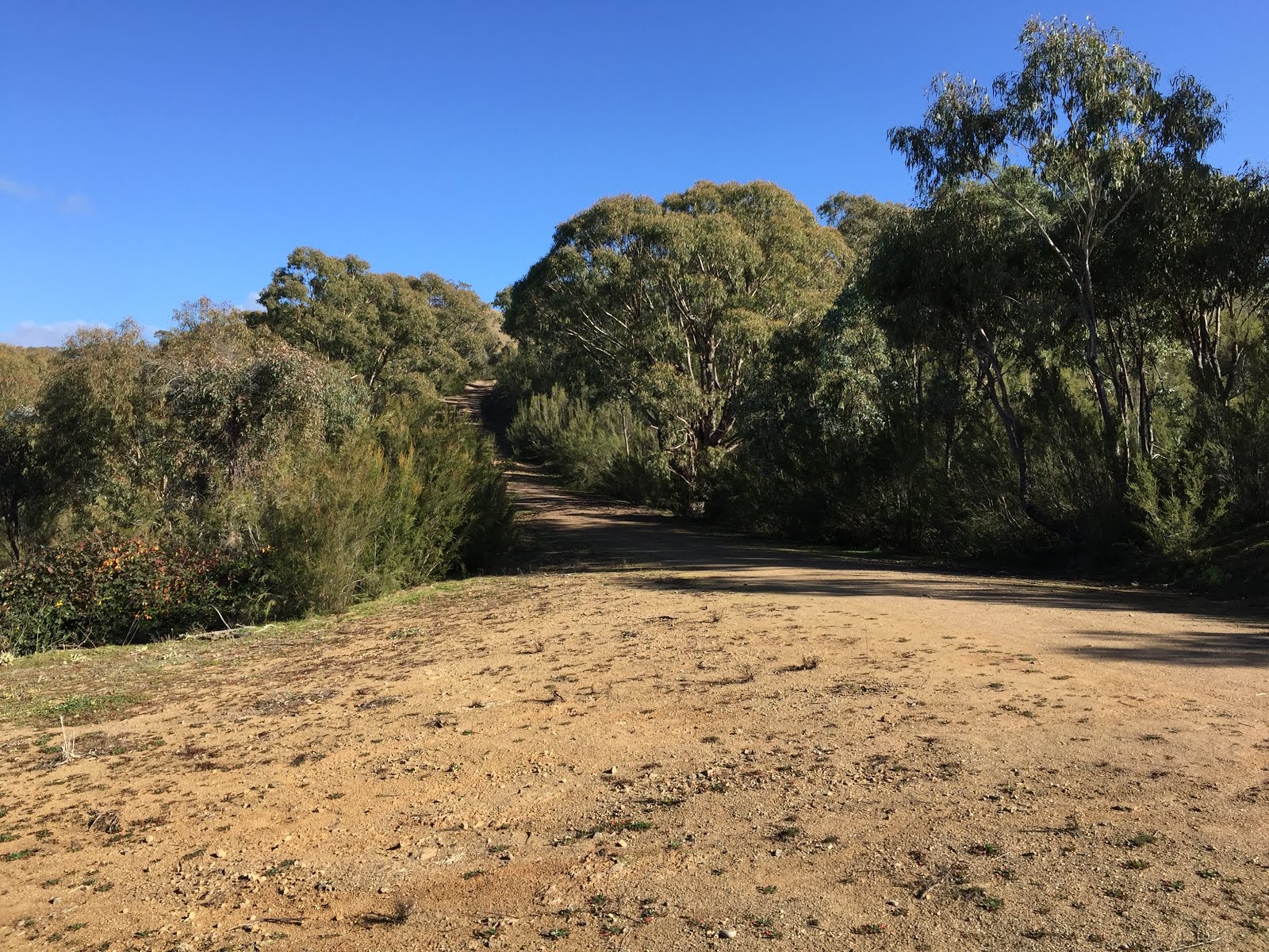
Across the river we found the River Road and followed it south for a bit before we found a walking track on the right which we followed up to another management trail which we followed southwest, west and north until it became the Man on the Horse Trail. At around map reference 55H FA 73690 75953 we found a walking track on the right which we decided to follow to see where it went. This took us through some rather nice bushland with views to the east and the Tidbinbilla Range to the west.


The walking trail eventually led us to a point near the intersection of the Spur 2 Firetrail and Split Rock Trail. We followed Split Rock Trail and it was here that we first came across the new wallaby enclosure fence.

We followed Split Rock Trail until Gilmore Road, which we started to follow back to our start point. There was a gate in the wallaby enclosure fence on Gilmore Road which we had to pass through. We followed Gilmore Road until it met the Boundary Trail where we turned right and found the beginning of the river walking track. Although this is a short track it is well worth following and was a highlight of the walk.

The trail took us through to Blewitts where we finished the walk with a nice lunch and an excellent bottle of wine.

Tuesday, 21 July 2020

Canberra Nature Park: Black Mountain Eastern Slopes

General Information

Grading:  easy
Distance:   9 kilometers
Total climb:   320 meters
Time taken:   2 hours
Maps:   Canberra 8727-2N 1:25 000
Start point distance by road from Canberra GPO:   2.4 kilometers
Start point map grid reference:  Canberra 55H FA 92069 95473
Destination map grid reference:   Little Black Mountain - Canberra 55H FA 91226 95326
                                                     Lookout - Canberra 55H FA 91100 93563
End point:  Same as start

Route


http://maps.six.nsw.gov.au/

Description

The starting point for this walk was the intersection of Dryandra Street and Frith Road in O'Connor. We started by walking under the Barry Drive underpass and made our way via management trails and faint walking tracks through some very nice forest to the prominent peak at 55H FA 92069 95326, which our guide referred to as Little Black Mountain.

From there we descended again and followed more management trails and walking tracks, generally following the contour of the mountain to a lookout platform at 55H FA 91100 93563, which gave a clear view towards the lake.

Retracing our steps for a bit, and then continuing along the clear walking track, we eventually came to the National Botanic Gardens gate on Black Mountain Road. We entered the Gardens and followed the tracks at the west of the Gardens and made our way back to the starting point.

Thursday, 16 July 2020

Tidbinbilla Nature Reserve: Johns Peak

General Information

Grading:  hard 
Distance:  15.3 kilometers 
Total climb:  713 meters 
Time taken:  3 hours 20 minutes 
Map:  Tidbinbilla 8627-2S, 1:25 000 
Start point distance by road from Canberra GPO:  52 kilometers 
Start point map grid reference:  55H FA 71471 74628 
Destination map grid reference:  55H FA 71378 77330 
End point:  same as start
 

Previous Similar Walks

6 June 2019, 21 June 2019


Route

 
http://maps.six.nsw.gov.au/

Description

This walk was largely identical to the one I completed on 6 June 2019 (link), with the differences being that I did not take the shortcut through the bush on the way up, and I didn't quite reach the top of the peak due to a shortage of time and a disinclination to scramble up the rocks to the summit.

Tuesday, 7 July 2020

Canberra Nature Park: Aranda Bushland and Mt Painter (2)

General Information

Grading:  easy
Distance:   7.8 kilometers
Total climb:   280 meters
Time taken:   2 hours
Maps:   Canberra 8727-2N 1:25 000
Start point distance by road from Canberra GPO:   6.4 kilometers
Start point map grid reference:  55H FA 89102 96546
Destination map grid reference:   55H FA 87748 95143
End point:  Same as start

Route


http://maps.six.nsw.gov.au/

Description

This walk was almost identical to the one undertaken on 26 February 2019 (link). The walk started at the Aranda shops in Bandjalong Crescent and followed paths and vehicular trails to the top of Mount Painter. Leaving the summit we went cross-country and across Bindubi Street to follow a vehicular trail back into the Aranda Bushland. We found a walking track on the left that took us to the top of a hill from which point we headed back to the start point the way we had come.

Thursday, 25 June 2020

Canberra Nature Park: Woodstock Nature Reserve

General Information

Grading:  medium 
Distance:  8.5 kilometers 
Total climb:  250 meters 
Time taken:  2 hours 
Map:  Umburra 8727-1S 1:25 000 
Start point distance by road from Canberra GPO:  26 kilometers 
Start point map grid reference:  55H FA 77534 98832 
Destination map grid reference: ACT/NSW border - 55H FB 78466 00899 
End Point:  Same as start

Route

http://maps.six.nsw.gov.au/

Description

Having had a bit of a look at Woodstock Nature Reserve the previous week (link), I decided to go back there and explore it to the point where the Murrumbidgee River reaches the NSW border. In the end we didn't go quite that far, but still were able to explore a large part of the Reserve.

The starting point for the walk was the carpark off Fairlight Road about 900 metres north of Uriarra Crossing. We walked down the management trail in an easterly direction, following the river until it bends in a more northerly direction under the steep rocks below Shepherds Lookout on the far side of the river.

Not far from the point the management trail terminates, although there is a faint track continuing along the river to the north. Unfortunately there are some rather nasty bushes growing next to the track that at this time of the year were shedding their seeds on clothing as we passed. I named these porcupine bushes for obvious reasons:

The spines proved very difficult to completely remove from wool knit clothes and I ended up trashing that particular jumper when I got home.

The annoyance of the spines was partly relieved by another glimpse of the two wedge-tailed eagles that I had seem on my two previous walks. We were able to get quite close to a tree that one of them was perching on, but still too far away to get a decent picture:


About 750 metres from the NSW border we reached the management trail that would take us back to our starting point by a mostly different route. We decided that there was little to be gained from going any further along the river to the border as we originally intended, so started our return journey. It was a moderately steep climb from the river up to a point near the Woodstock property where there were some good views in most directions.

At around map reference 55H FA 78888 98875 the track forks, although the right hand track is very faint and partly overgrown. Nevertheless, we were able to follow this track back down to the main management trail at the river. From there it was an easy walk back up to the carpark.

Thursday, 18 June 2020

Canberra Nature Park: Uriarra Loop and Woodstock Nature Reserve

General Information

 
Grading:  medium 
Distance:  12.4 kilometers 
Total climb:  400 meters 
Time taken:  2 hours 20 minutes 
Map:  Umburra 8727-1S 1:25 000 
Start point distance by road from Canberra GPO:  19 kilometers 
Start point map grid reference:  55H FA 809211 97979 
Destination map grid reference: Uriarra Crossing - 55H FA 77646 98169 
End Point:  Same as start


Previous Similar Walks

Uriarra Crossing: 11 October 2014, 9 August 2015

Route

 
http://maps.six.nsw.gov.au/

Description

I had done most of this walk - from the Shepherds Lookout carpark to Uriarra Crossing and back - a number of times previously (see link), but this time I took the opportunity to have a brief look at the Woodstock Nature Reserve.

Crossing to the western side of the Murrumbidgee at Uriarra Crossing I walked up Fairlight Road about 900 meters to the carpark at the entry to Woodstock Nature Reserve. From there I followed the track about 400 meters to an open area on the right, where I had some nice views back along the track and south along the Murrumbidgee towards the distant ranges. 

From this open area I randomly decided to head bush back down towards the river and loop back to Uriarra Crossing. The bush was fairly light, with only the occasional blackberry to cause discomfort, but near the river itself I found it all a bit muddy and decided to head back up the hill. Eventually I found the boundary fence for the private property marked as "Phencari" on the map and followed it back to the Woodstock Nature Reserve entrance, and from there back (mostly) the way I had come.

Tuesday, 16 June 2020

Canberra Nature Park: Denman Prospect to Molonglo River

General Information

Grading:  easy
Distance:   7.8 kilometers
Total climb:   160 meters
Time taken:   2 hours
Maps:   Canberra 8727-3N 1:25 000
Start point distance by road from Canberra GPO:   13 kilometers
Start point map grid reference:  55H FA 83932 92100
Destination map grid reference:   n/a
End point:  Same as start

Route


http://maps.six.nsw.gov.au/

Description

This walk started from the shopping centre at Denman Prospect at the end of Holborow Avenue. Initially climbing up towards the hill on the left there is a straight track down towards the Molonglo River. As we came close to the river we saw a pair of wedge-tailed eagles, one of which flew directly above us. When we came close to the river we turned left and followed it downstream, finding the likely nest of the two eagles we had just seen.

Continuing downstream along the bank of the river we saw many kangaroos and wallabies on the hillside to our left, and found some very nice spots on the river.

When we came to a point where further progress was blocked by fallen timber we headed back along the river bank until we found the track again. This followed the river for some time before we veered away from it and made our way back to the starting point.

Thursday, 11 June 2020

Canberra Nature Park: One Tree Hill (4)

General Information

Grading:  easy 
Distance: 8 kilometers return 
Total climb: 250 meters
Time taken: 2 hours 
Map:  Hall 8727-4S, 1:25 000 
Guide:  ACT Centenary Trail - link 
Start point distance by road from Canberra GPO:  15 kilometers 
Start point map grid reference:  55H FB 88578 06552 
Destination map grid reference:  55H FB 90528 09191 
End point:  same as start

Description

This was the same as previous walks to One Tree Hill (see link). It was interesting, however, because we walked through dense fog which only disappeared when we reached the summit.

Tuesday, 2 June 2020

Callum Brae Nature Reserve and Mt Mugga Mugga (2)

General Information

Grading: easy
Distance:   8 kilometers
Total climb:   210 meters
Time taken:   1 hour 50 minutes
Maps:   Canberra 8727-3N 1:25 000
Start point distance by road from Canberra GPO:   9.5 kilometers
Start point map grid reference:  55H FA 94629 85740
Destination map grid reference:   n/a
End point:  Same as start

Route


http://maps.six.nsw.gov.au/

Description

This walk was identical to the one completed on 28 May 2019 (link).

Tuesday, 19 May 2020

Tidbinbilla Nature Reserve: Ashbrook Fire Trail

General Information

Grading:  very easy 
Distance:  4 kilometers 
Total climb:  116 meters 
Time taken:  1 hour 
Map:  Tidbinbilla 8627-2S, 1:25 000 
Guide:  link 
Start point distance by road from Canberra GPO:  49 kilometers 
Start point map grid reference:  55H FA 72353 72785 
Destination map grid reference:  55H FA 73048 74180 
End point:  same as start

Route

http://maps.six.nsw.gov.au/

Description

Having left one car at the Koala Enclosure carpark, we drove to the Hanging Rock carpark (off the Tidbinbilla Loop Road) where we started the walk. We followed the fire trail along and then over Ashbrook Creek, heading up through some beautiful forest until we came to a fork in the road. The left fork went up to the end of the fire trail at Mountain Creek Road, but we chose instead to follow the right fork which goes back to the Tidbinbilla Loop Road following the koala enclosure fence.

You can view photographs from a previous walk that included the Ashbrook Fire Trail through this link.