General Information
Grading: very easyDistance: 7.2 kilometers
Total climb: 88 meters
Time taken: 1 hour 30 minutes
Maps: Canberra 8727-3N 1:25 000
Start point distance by road from Canberra GPO: 12.7 kilometers
Start point map grid reference: 55H FA 86356 89591
Destination map grid reference:
End point: same as start
Route
Description
We started this walk at the intersection of Harold White Avenue and Pearlman Street in the suburb of Coombs. From there we walked down to the Molonglo River and crossed to the other side, following the river under Tuggeranong Parkway until we reached another river crossing at map reference 55H FA 88106 90660. This was a good place for a photograph of the river with the last vestiges of the morning's fog.
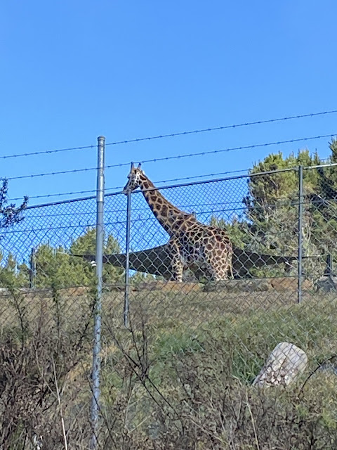
On the other side of the river we continued on to Scrivener Damand crossed it. We then followed the fenceline of The National Zoo and Aquarium, which gave us some views seldom seen on local bushwalks.
We continued back along the river, returning to our starting point.


No comments:
Post a Comment