General Information
Grading: easy
Distance: 10 kilometers
Total climb: 239 meters
Time taken: 2 hours 50 minutes
Map: Kangaroo Valley 9028-4S 1:25 000
Start point distance by road from Canberra GPO: 200 kilometers
Start point map grid reference: 56H KG 90433 60727
Destination: Cooks Nose 56H KG 88801 58583
Natural Stone Bridge 56H KG 91044 59371
End Point: Same as start
Route

Description
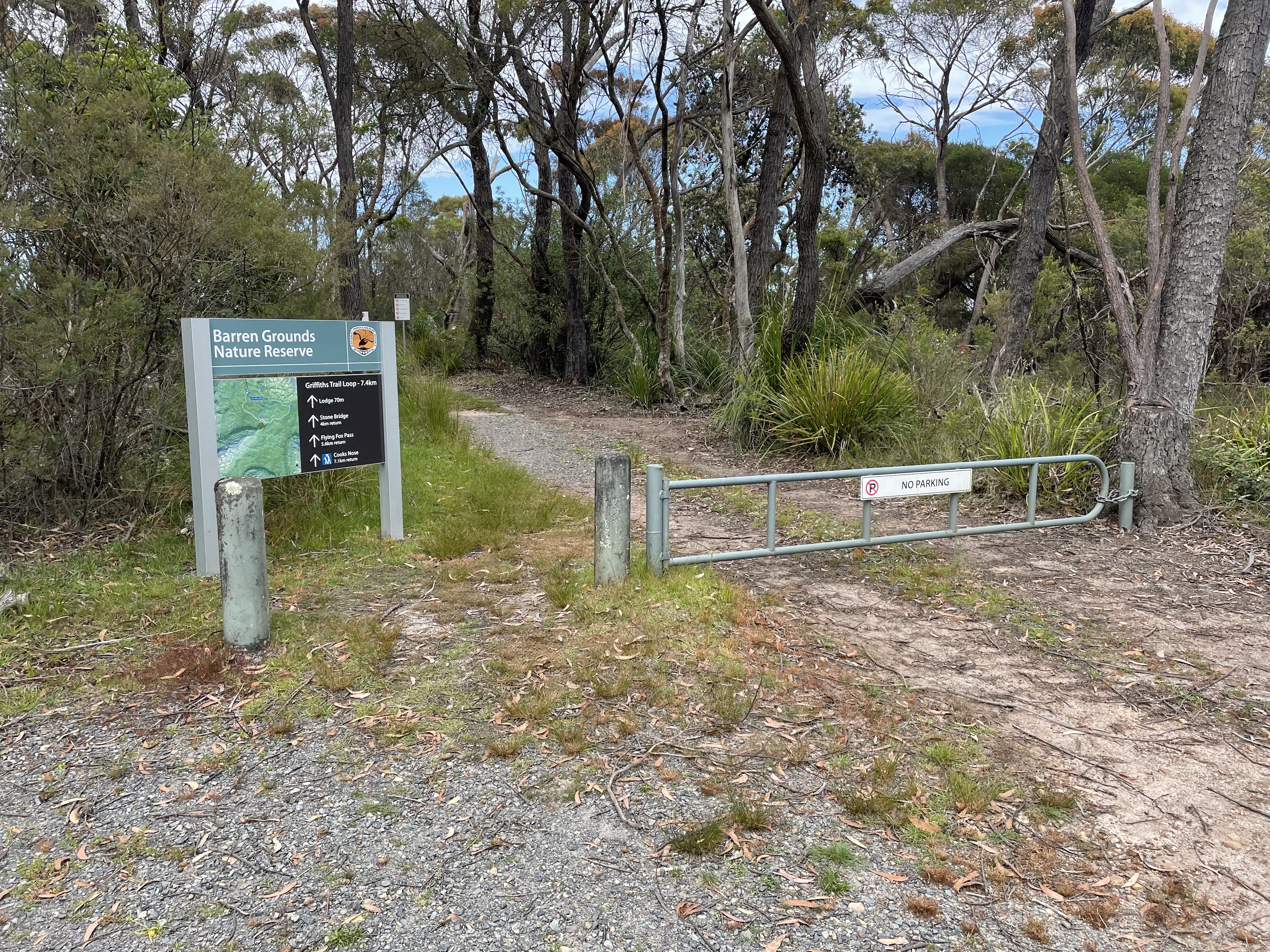
Barren Grounds Nature Reserve is to the south of Jamberoo Mountain Road, about 14 kilometers from the Illawarra Highway (at the Robertson Pie Shop).
This walk commenced at the Barren Grounds Picnic Area, about 1 kilometer to the right off Jamberoo Mountain Road. There are two trailheads at the Picnic Ground, but both are well signposted.
Naturally we followed the trail to Cooks Nose at the southern end of the Picnic Area. This took us initially through some flat, fairly open terrain with many varieties of wildflower still in bloom.

The trail starts to go up and down a bit after a while and is quite rocky.


Eventually we came to a walking track off to the right which took us to Cooks Nose, and some very good views into the Brogers Creek and Lamonds Creek gorges, and down towards Kangaroo Valley in the distance.


After taking in the views for a while we headed back the way we had come, but turned off at the Stone Bridge sign to have a look at the natural stone bridge about 1 kilometer away. The stone bridge itself is interesting without being spectacular, but the area around it (Lamonds Creek) is quite nice despite many mosquitos coming to feed on me.


After a break down by the Creek we retraced our steps back to our starting point.
No comments:
Post a Comment