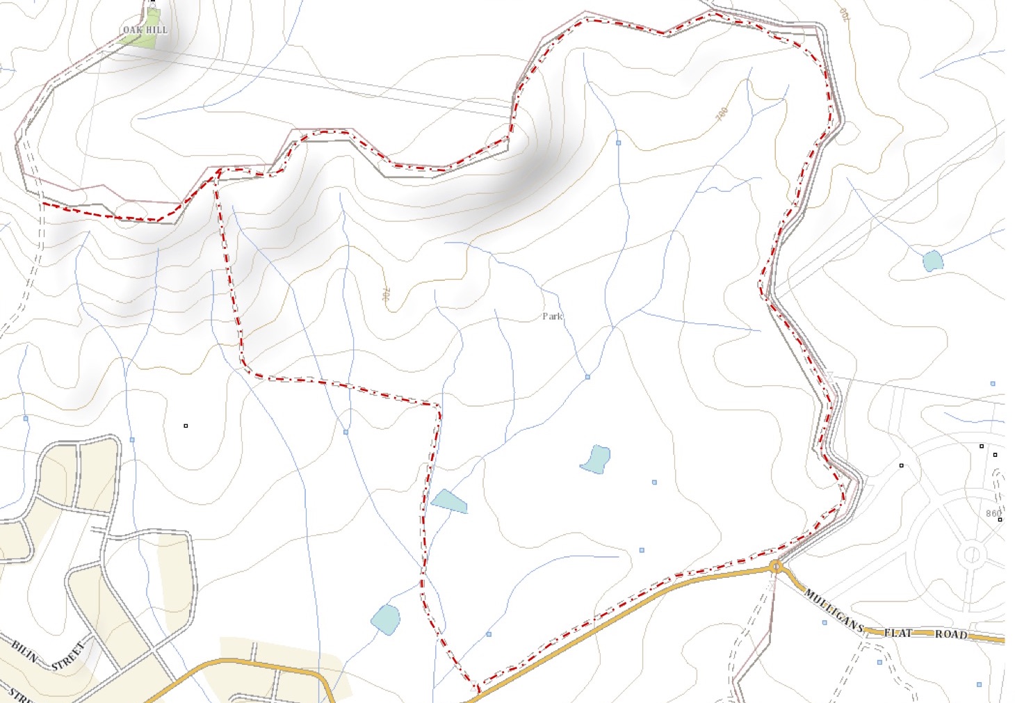
General Information
Grading: easyDistance: 6.5 kilometers
Total climb: 174 meters
Time taken: 1 hours 45 minutes
Maps: Hall 8727-4S 1:25 000
Start point distance by road from Canberra GPO: 18 kilometers
Start point map grid reference: 55H FB 96397 07741
Destination map grid reference: no real destination
End point: Same as start
Route
Description
This was essentially the same walk completed on 9 October 2014 (link), except that it was done in the opposite direction. We also went a bit further along a walking track to the south of Oak Hill.
No comments:
Post a Comment