General Information
Grading: easyDistance: 5.5 kilometers
Total climb: 268 meters
Time taken: 2 hours
Maps: Canberra 8727-2N 1:25 000
Start point distance by road from Canberra GPO: 2.3 kilometers
Start point map grid reference: Canberra 55H FA 95455 94871
Destination map grid reference: Canberra 55H FA 96504 94712
End point: Same as start
Route

Description
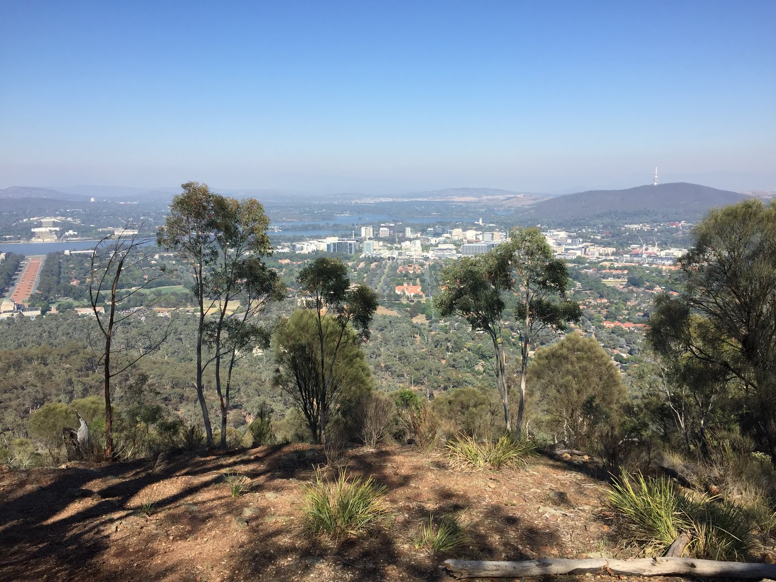
This walk began at the intersection of Chisholm and Duffy Streets in Ainslie. Initially we went through the bush following a rough path until it ended at a management trail which we followed to the left. Coming to the creek bed shown on the map we again went bush following the dry watercourse to the lookout just below the summit of Mt Ainslie looking south.
Taking the tourist path up to the road around the summit we walked around to the right until we found the path to the first of Mt Ainslie's quarries. Coming from the top of the mountain care is needed when approaching the quarry as there's a bit of a cliff drop to be avoided.

We walked around the top of the quarry to the left...

...quickly reaching the bottom.

To the southwestern side of the quarry is a path which we followed around the mountain before descending to another management trail which we followed until we came across the second quarry site on Mt Ainslie.

From there we went down towards the back of the War Memorial and the old CSIRO building back to where we started the walk.
No comments:
Post a Comment