Saturday, 28 November 2020

Kosciuszko National Park: Kosciuszko Main Range Trail

General Information

Grading:  hard
Distance:    21 kilometers
Total climb:    743 meters
Time taken:   5 hours 45 minutes
Maps:   Perisher Valley 8525-2S  1:25 000
Start point distance by road from Canberra GPO:   220 kilometers
Start point map grid reference:  55H FV 19089 67358
Destination map grid reference:  none
End point:  same as start

Route

Description

We did this walk counter-clockwise starting from Charlotte Pass. We descended from Charlottes Pass down a paved walkway to the Snowy River and Club Lake Creek, both of which we were able to cross via stepping stones. Some people found these harder to negotiate than others.

From the Snowy River the climbing starts - the river is around 1715m above sea level and after walking a bit over 3 kilometres we were almost at 2000m elevation. At this point we had a good view of Blue Lake.

From here we turned left towards Carruthers Peak. Here we started to be exposed to very strong winds, but we paused long enough to take some photographs of nearby Sentinel Mountain which on a milder day we might have been tempted to climb.

Continuing along the track we came to a section of elevated steel walkway. The wind was so strong here that I was blown off the walkway a couple of times.

The track took us under the peak of Mt Lee and via Northcote Pass to Mt Northcote and Albina Lake.

The track had not been too steep since descending Carruthers Peak, but from Mt Northcote it started to climb again as we approached Mt Kosciuszko via Muellers Pass. When we reached the track to the Kosciuszko summit we saw dark clouds to the west, indicating the forecast afternoon rain was on its way. We decided not to do the 2 kilometre detour to the peak - we had both visited it several times before - and started down the track back towards Charlottes Pass, visiting Seamans Hut along the way.

By the time we hit the bridges over the Snowy River and Merritts Creek heavy rain had begun to fall and there was the sound of distant thunder. Fortunately the rain did not last too long and we were able to get back to Charlotte Pass without getting too wet.

Saturday, 14 November 2020

Yass District: Mundoonen Nature Reserve South of the Hume Highway

General Information

Grading:  hard
Distance:    14 kilometers
Total climb:    567 meters
Time taken:   4 hours 45 minutes
Maps:   Jerrawa 8728-3N 1:25 000
Start point distance by road from Canberra GPO:   65 kilometers
Start point map grid reference:  55H FB 87265 44055
Destination map grid reference:  Margules Hill 55H FB 88361 43792
End point:  Same as start

Route

Description

The Mundoonen Nature Reserve straddles the Hume Highway between Yass and Gunning. Having done the smaller section of the Reserve north of the Hume Highway at the beginning of October (link) we decided to give the south side a go. Our starting point was Sheldricks Lane on the north side of the Hume Highway, about 3.4 kilometres along the Highway from its intersection with Yass Valley Way.

We began by walking under the Hume Highway via a culvert and then cutting through the bush to the highway trail. When we came to the Swamp Gully Trail we followed it for about 230 metres before turning left towards Margules Hill (791m). Passing by old charcoal pits...

...and making our way to the summit.

There were no great views from the summit due to the forest, so we walked back the way we had come back to the Swamp Gully Trail which we followed south for about 2.3 kilometres until we came to a power line clearing near a creek with some very nice Xanthorrhoeas.

From here we found the Old Gap Road, which in the 1830's was the equivalent of today's Hume Highway. 

We followed Old Gap Road until we reached the border of the Nature Reserve, and turning right we followed the border fence at first through light bush, then along the Dam Trail where we unsurprisingly found a nice dam by the side of which we could have some lunch.

Continuing along the Dam Trail until its end, we again headed bush along the boundary fence to a point  around map reference 55H FB 88939 41879. Here we decided to turn back, making our way through the bush by a direct route to the Swamp Gully Trail, retracing our steps back to tour starting point.

Friday, 6 November 2020

Canberra Nature Park: Molonglo Gorge Nature Reserve

General Information

Grading: easy
Distance: 8 kilometers 
Total climb: 300 metres 
Time taken: 2 hours 50 minutes 
Maps:  Canberra 8627-3N 1:25 000; Bungendore 8727-2N 1:25 000 
Start point distance by road from Canberra GPO:  19 kilometers 
Start point map grid reference:  Canberra 55H GA 04479 88164 
Destination map grid reference:  Bungendore 55H GA 06798 87761 
End point:  same as start

Route

Description

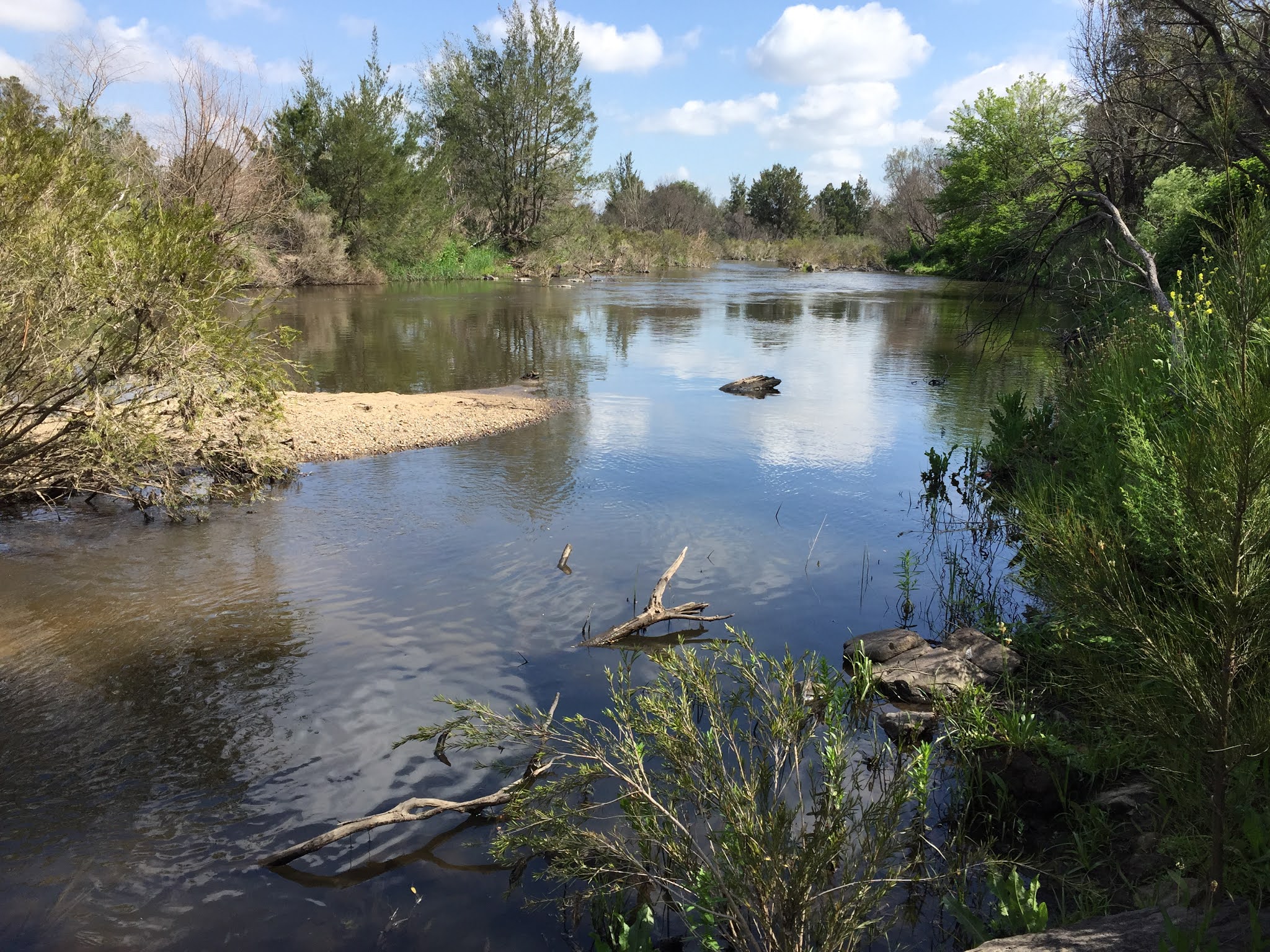
This walk started at the Molonglo Gorge picnic area, which is off the Sutton Road approximately 5 kilometers north of Queanbeyan. We followed the Molonglo Gorge track along the very swollen Molonglo River.

At one point we had to scramble over rocks where the track was flooded, as can be seen by the location of the steps in the photo below.

After about 3.5 kilometres we reached the Blue Tiles picnic area where we stopped for a break.

 From Blue Tiles we started to climb up the escarpment, following a rough but clear track which kept us away from the pine forest and through native trees. One spot along the trail where the native and plantation forests met was particularly nice.

We eventually found our way on to Quarry Road, which is a wide and well-maintained forestry road. On Quarry Road at about map reference 55H GA 04891 88419 we came to a rough vehicular track on the left. This track has a sign that says "No Through Track", but this seems to be largely for the benefit of motor vehicle drivers. We were able to follow it down to connect with the walking track above the river in Molonglo Gorge (not the riverside one we followed on the outward journey), and from there it was an easy walk back to our starting point.

Tuesday, 3 November 2020

Cuumbeun Nature Reserve

General Information

Grading:  easy
Distance:   8 kilometers
Total climb:   290 meters
Time taken:   1 hour 55 minutes
Map:   Bungendore 8726-2N 1:25 000
Start point distance by road from Canberra GPO:   16.3 kilometers
Start point map grid reference:  55H GA 04684 85772
Destination map grid reference:   none
End point:  Same as start

Route

Description

This walk began at the end of the paved section of Old Sydney Road near Wright Park in East Queanbeyan. We walked through a gate and followed the unpaved Old Sydney Road for about 1.25 kilometres, climbing steadily until we reached the Queanbeyan River Trail. We followed the Queanbeyan River Trail generally south east for about 2.7 kilometers and then headed north and west on the Swamp Trail until we reached the Captains Flat Road. From there we followed Old Sydney Road back to the start point.

Sadly I neglected to take any photos on this walk, but there are some Cuumbeun shots from a previous walk in the Nature Reserve (link).

Thursday, 22 October 2020

Murrumbidgee Corridor: Pine Island to Point Hut and Mt Stranger

General Information

Grading:  easy
Distance:   7.9 kilometers
Total climb:   160 metres
Time taken:   1 hour 55 minutes
Maps:   Tuggeranong 8727-3S 1:25 000
Start point distance by road from Canberra GPO:   24.3 kilometers
Start point map grid reference:  55H FA 87522 77114
Destination map grid reference:   Point Hut 55H FA 888343 7481
                                                      Mt Stranger 55H FA 88899 76584
End point:  same as start

Route

Description

We started this walk at the southern end of the Pine Island Reserve and headed south along the walking track that follows the Murrumbidgee River. There were some nice views across the river and down by its banks.

After about 3 kilometres walking we reached the Point Hut picnic area and started our return journey via Mt Stranger. We followed the Bicentennial Trail from Point Hut for about 1.7 kilometres before heading bush towards the mountain. This was pretty easy going through grass and Patterson's curse to then trig at the summit of Mt Stranger. This gave us views of both rural and urban landscapes.

Descending the mountain towards the west we struck the Bicentennial Trail again and followed it for just short of a kilometre before cutting back to Pine Island.

Thursday, 15 October 2020

Tidbinbilla Nature Reserve: Camels Hump (4)

General Information

Grading:  medium
Distance:  12.8 kilometers 
Total climb:  600 meters 
Time taken:  3 hours 15 minutes 
Map:  Tidbinbilla 8627-2S, 1:25 000 
Start point distance by road from Canberra GPO:  49 kilometers 
Start point map grid reference:  55H FA 71471 74624 
Destination map grid reference:  55H FA 72016 79083 
End point:  same as start

Route

Description

This was my fourth visit to Camels Hump using this route, though my first in almost four years. For details refer to my first walk there (link).

Tuesday, 13 October 2020

Canberra Nature Park: Red Hill and Davidson Hill (2)

 General Information

Grading: easy
Distance:   8.6 kilometers
Total climb:   291 meters
Time taken:   2 hours 13 minutes
Maps:   Canberra 8627-3N 1:25 000
Start point distance by road from Canberra GPO:   9.3 kilometers
Start point map grid reference:  55H FA 91054 87473
Destination map grid reference:  Red Hill 55H FA 92384 88494
                                                    Davidson Hill 55H FA 92290 87556
End point:  same as start

Route

Description

This walk was identical to the one completed on 25 June 2019 (link).

Sunday, 11 October 2020

Yass District: Bobbara Hill, Binalong

 General Information

Grading:  very easy
Distance:   3.3 kilometers
Total climb:   184 meters
Time taken:   1 hour 30 minutes
Maps:   Binalong 8628-4S 1:25 000
Start point distance by road from Canberra GPO:   100 kilometers
Start point map grid reference:  Binalong 55H FB 46326 66009
Destination map grid reference:  Yass 55H FB 45720 65760
End point:  Same as start

NOTE: Bobbara Hill and its access road are on private land. We did the walk as part of a charity event which is held once a year for the benefit of the Binalong Primary School P&C. The Hill is not accessible to the public at any other time without the landowner's permission.

Route

Description

The starting point for this walk was just off Bobbara Road about 5.5 kilometres past the Black Swan at Binalong. The walk to the summit of Bobbara Hill is a short one along a sealed service road, and although steep at some points, my 22-month-old granddaughter was able to walk it with us. At the top of the hill there is an Air Services Australia installation and a communications tower, but the views are spectacular all around. Blooming Patterson's curse, a noxious weed of the worst kind, covered the hill but I have to say it looked quite nice.

Thursday, 1 October 2020

Yass District: Mundoonen Nature Reserve North of the Hume Highway

General Information

Grading:  medium
Distance:   10.5 kilometers
Total climb:   470 meters
Time taken:   3 hours 40 minutes
Maps:   Jerrawa 8728-3N 1:25 000
Start point distance by road from Canberra GPO:   65 kilometers
Start point map grid reference:  Jerrawa 55H FB 872782 44043
Destination map grid reference:  Jerrawa 55H FB 87286 47036
End point:  Same as start

Route

Description

The Mundoonen Nature Reserve straddles the Hume Highway between Yass and Gunning. We decided to do the smaller section of the Reserve north of the Hume Highway. Our starting point was the Sheldricks Lane turnoff, about 3.4 kilometres along the Hume Highway from its intersection with Yass Valley Way.

Our first task was to climb up the access road to the summit of Mt Mundoonen. Unfortunately there are only limited views here due to the surrounding forest, but it's another peak to take off my list.

Passing the trig marker we continued to the end of the paved road near the towers in the distance. At the point we turned left to follow the ridge heading a bit east of north. The top of the ridge is easy walking through dry sclerophyll forest.

We followed the ridge until we came to a knoll at map reference 55H FB 87231 45102. Ahead of us was a deep gully with another hill on the other side, so we started to walk down the ridge on the left before heading north again at a lower elevation. We found a couple of mostly dry watercourses which were quite nice to walk along while they took us in roughly the right direction.

At map reference 55H FB 87008 46349 we found the abandoned farmhouse complex which we had heard about, all still in very good condition. We paused there for lunch.

From the farmhouse we made our way to the dam at map reference 55H FB 87196 46802...


...and from there continued north to the boundary fence of the Nature Reserve. We followed the boundary fence to the east, which took us to the hill at the end of the ridge we followed from Mt. Mundoonen.

There were some nice rural views to the north from there

We followed the ridge all the way back to Mt. Mundoonen and our starting point, including this time the steep hill we avoided on the outward journey.

Sunday, 27 September 2020

Yass District: Bowning Hill

 General Information

Grading: very easy
Distance:   4 kilometers
Total climb:   220 meters
Time taken:   1 hour 30 minutes
Maps:   Yass 8628-2N 1:25 000
Start point distance by road from Canberra GPO:   73.5 kilometers
Start point map grid reference:  Yass 55H FB 66960 49630
Destination map grid reference:  Yass 55H FB 67512 50027
End point:  Same as start

NOTE: Bowning Hill and its access road are on private land. We did the walk as part of a charity event which is held once a year for the benefit of the Yass Valley SPIN Foundation. The Hill is not accessible to the public at any other time without the landowner's permission.

Route

Description

Bowning Hill would be familiar to anyone travelling on the Hume Highway west of Yass: a large, steep hill just to the left of the highway. The starting point for the climb was off Common Road (which is about 8 kilometers past the Yass Service Centre turnoff). The climb was along a bitumen service road that zigzags up the western side of the hill.

As we got near the top we could see a rocky outcrop on the top of the hill, although we found that this is not the highest point.

The views from the top are spectacular. We could easily make out Black Mountain Tower, Mt Gingera and Mt Tennant, but the views in all directions were uninterrupted.

After spending quite a while at the top of the hill (despite the cold wind blowing), we made our way back down the hill by the same path.