General Information
Grading: very easyDistance: 3.3 kilometers
Total climb: 184 meters
Time taken: 1 hour 30 minutes
Maps: Binalong 8628-4S 1:25 000
Start point distance by road from Canberra GPO: 100 kilometers
Start point map grid reference: Binalong 55H FB 46326 66009
Destination map grid reference: Yass 55H FB 45720 65760
End point: Same as startNOTE:
Bobbara Hill and its access road are on private land. We did the walk
as part of a charity event which is held once a year for the benefit of
the Binalong Primary School P&C. The Hill is not accessible to the
public at any other time without the landowner's permission.
NOTE:
Bobbara Hill and its access road are on private land. We did the walk
as part of a charity event which is held once a year for the benefit of
the Binalong Primary School P&C. The Hill is not accessible to the
public at any other time without the landowner's permission.
Route
Description
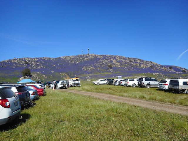
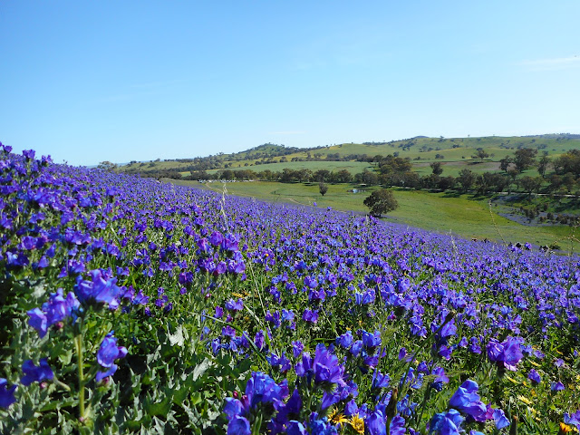
The starting point for this walk was just off Bobbara Road about 5.5 kilometres past the Black Swan at Binalong. The walk to the summit of Bobbara Hill is a short one along a sealed service road, and although steep at some points, my 22-month-old granddaughter was able to walk it with us. At the top of the hill there is an Air Services Australia installation and a communications tower, but the views are spectacular all around. Blooming Patterson's curse, a noxious weed of the worst kind, covered the hill but I have to say it looked quite nice.


No comments:
Post a Comment