Sunday, 11 June 2017

Namadgi National Park: Mount Tennent (3) and Bushfold Flats (2)

General Information


Distance:  17.5 kilometers
Total climb:  approximately 700 meters
Time taken:  4 hours
Maps:  Williamsdale 8726-4N; Corin Dam 8626-1N
Start point distance by road from Canberra GPO:  48 kilometers
Start point map grid reference:  55H FA 83475 60752
Destination map grid reference:  55H FA 83643 66350
End point:  same as start


Route


http://maps.six.nsw.gov.au/


Description


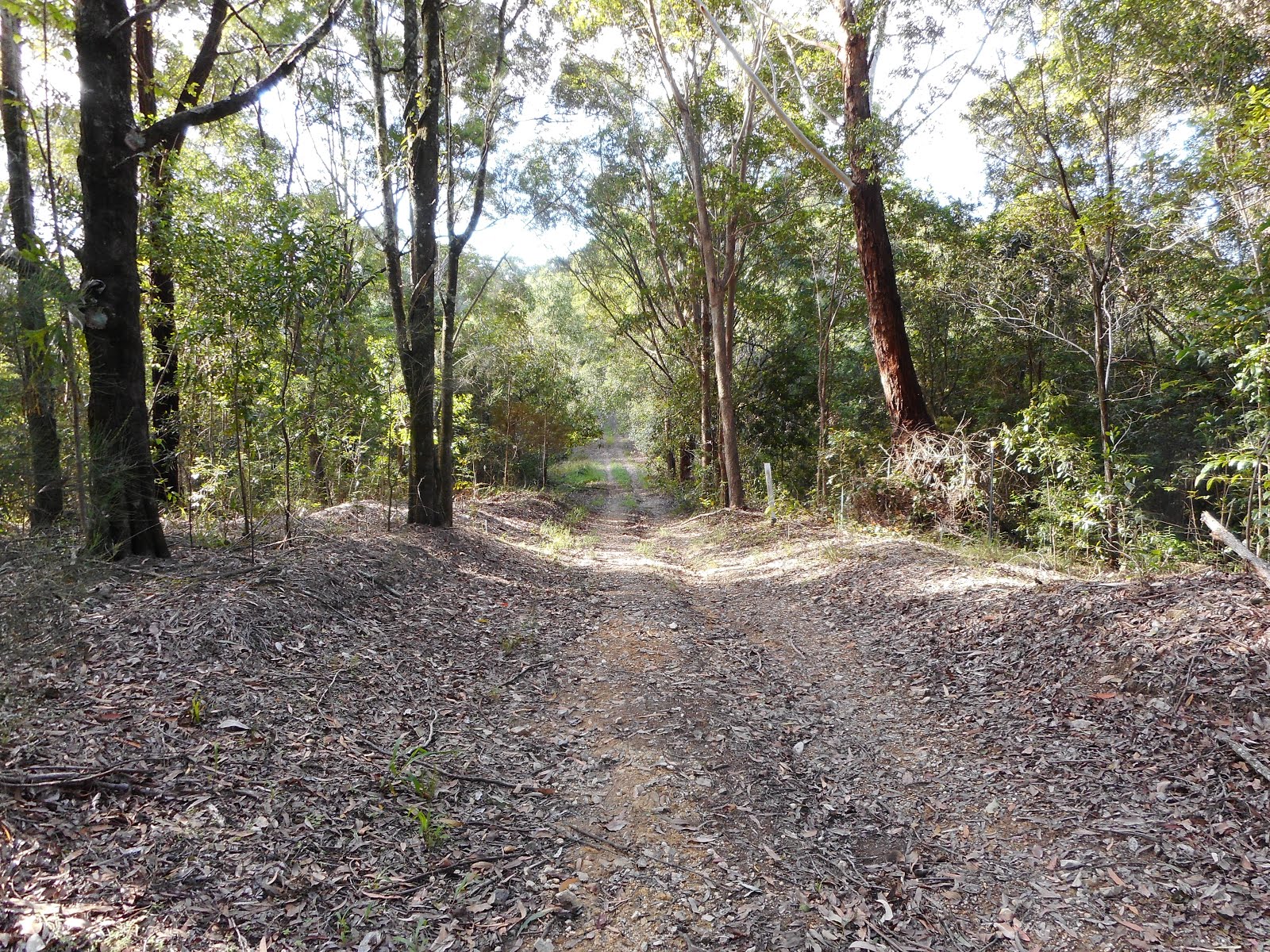
Unlike my previous walks to the summit of Mt Tennent, this hike started at a point on the Apollo Road a few hundred meters past the Mt Tennent Firetrail, where there is a reasonably wide carpark on the side of the road. From here we walked to the Mt Tennent Firetrail and through the locked gate down to a ford on Honeysuckle Creek. From there the trail heads steadily upwards, eventually recahing the intersection with the Bushfold Flats Firetrail at map reference 55H FA 83667 62737. We continued along the Mt Tennent Firetrail to the summit.

Descending from the summit to map reference 55H FA 84747 64704 we turned left on to the Australian Alps Walking Track and followed it down to the Bushfold Flats Firetrail. We then returned to the car following the Bushfold Flats Firetrail, the Mt Tennent Firetrail and Apollo Road.

Monday, 29 May 2017

Tidbinbilla Nature Reserve: Gibraltar Peak (3)

General Information


Distance: 6.4 kilometers
Total climb: 354 meters
Time taken: 2 hours
Map: Tidbinbilla 8627-2S 1:25 000
Guide:  link
Start point distance by road from Canberra GPO:  45 kilometers
Start point map grid reference:  55H FA 74987 75469
Destination map grid reference:  55H FA 76766 74314
End Point:  Same as start


Route


http://maps.six.nsw.gov.au/

Description


I last hiked to Gibraltar Peak on 8 June 2016, but the route taken this time was different. Instead of following the walking track to the peak I walked through the scrub up a ridge. This proved to be quite difficult as the terrain was steep and the scrub in places was quite thick. On the way back I followed the walking trail.

Thursday, 4 May 2017

Namadgi National Park: Rendezvous Creek Rock Art (2)

General Information


Distance:  15.5 kilometers
Total climb:  383 meters
Time taken:  4 hours 20 minutes
Map:  Rendezvous Creek 8626-1S; 1:25 000
Guide:  Graeme Barrow, Namadgi and Tidbinbilla Classics. Tough Bushwalks in Canberra's 
                                       High Country (Canberra, 2000), pp.54-58.
Start point distance by road from Canberra GPO:  66 kilometers
Start point map grid reference:  55H FA 80598 44229
Destination map grid reference:  sensitive site, so best not to share
End point: same as start


Description


This is essentially the same walk that I completed on 7 October 2016, but on this occasion we actually found the rock art site.


Thursday, 27 April 2017

Namadgi National Park: Bushfold Flats and the Australian Alps Walking Track

General information


Distance:  18 kilometers
Total climb:  unknown, but probably 250-400 meters
Time taken:  4 hours 30 minutes
Maps:  Williamsdale 8726-4N; Corin Dam 8626-1N
Start point distance by road from Canberra GPO:  48 kilometers
Start point map grid reference:  55H FA 83475 60752
Destination map grid reference:  55H FA 83643 66350
End point:  same as start


Route


http://maps.six.nsw.gov.au/


Description


This hike started at a point on the Apollo Road a few hundred meters past the Mt Tennent Firetrail, where there is a reasonably wide carpark on the side of the road. From here we walked to the Mt Tennent Firetrail and through the locked gate down to a ford on Honeysuckle Creek which can be easily walked across. From there the trail heads steadily upwards, gaining about 250 meters in elevation over 2.4 kilometers, until it reaches the Bushfold Flats Firetrail at map reference 55H FA 83667 62737. We followed the Bushfold Flats Firetrail, quickly reaching Bushfold Flats hut where we took a break.


Continuing along Bushfold Flats Firetrail the terrain was very open, affording views of the surrounding peaks.


We continued along the trail until we ran out of trail to follow at map reference 55H FA 83643 66350, at which point we turned back. At map reference 55H FA 83655 66795 the Australian Alps Walking Trail heads off the Bushfold Flats Firetrail to the west. We followed the Walking Trail through light forest, eventually reaching Booroomba Creek where we stopped for another break.


Continuing to follow the trail we eventually passed Deadmans Hill to the south, and at this point we left the trail and headed through the forest south towards Apollo Road. The scrub was thick in some places, but we passed through it easily until we reached Honeysuckle Creek. The creek banks were very steep and rocky, so we wasted a lot of ti9me finding a suitable crossing point. Eventually we crossed, reaching Apollo Road almost immediately after, and walked back down Apollo Road to the car.

Although long, and initially quite steep, this was a very enjoyable walk through some diverse terrain. 

Friday, 14 April 2017

Nightcap National Park: Minyon Falls (2)

General Information


Distance:  6.9 kilometers
Total climb:  approximately 150 meters
Time taken:  3 hours
Map:  Huonbrook  9540-1N 1:25 000
Guide: link
Start point distance by road from Canberra GPO:  1,120 kilometers
Start point map grid reference:  56J NP 38937 34069
Destination map grid reference:  56J NP 38182 34813
End Point:  same as start
Note:  Refer to previous Minyon Falls walk on 22 April 2016.


Route


Description


The last time I walked to Minyon Falls, almost a year earlier, I was unable to loop around to the top of the falls due to roadwork on Minyon Falls Road north of Minyon Grass. No such problems this time.

I started the walk again at the Minyon Grass picnic area and followed the walking trail down to the base of the falls (for detailed description, see my 22 April 2016 blog entry). I then took the trail across Repentance Creek and started to climb up the western side of the valley, heading steadily south through thick forest, climbing all the time.


Near the sothernmost point of the trail there are glimpses of Condong Falls to the west.


At the top of the escarpment the trail hooks back northward and some views of the surrounding countryside to the south start to be glimpsed through the trees as the trail follows the escapment.


Eventually the top of Minyon Falls itself becomes visible.


At the top of Minyon Falls there are spectacular views of the Repentance Creek valley, although the view of the falls themselves is naturally quite limited this close up.


From the top of the falls I returned to my car along Minyon Falls Road: a hard-surfaced, dusty and largely uninspiring finish to a very beautiful walk.

This was a fantastic walk through some very beautiful scenery, although if you have the time and energy it may be improved by avoiding Minyon Falls Road and returning from the top of the falls back along the trail. It was the Easter weekend when I did this walk, meaning that the trail was quite crowded. Disappointing that most people I saw on the trail had no basic necessities such as water or even rudimentary maps. One couple I met had walked over a kilometer past the base of the falls without realising they had missed it.

Thursday, 13 April 2017

Billinudgel Nature Reserve

General information


Distance:  3 kilometers
Total climb:  negligible
Time taken:  1 hour
Map:  Pottsville 9641-3S 1:25 000
Start point distance by road from Canberra GPO:  1,058 kilometers
Start point map grid reference:  56J NP 52461 48001
Destination map grid reference: no planned destination
End point:  same as start


Route


http://maps.six.nsw.gov.au/


Description


This hike started in Banool Circuit Ocean Shores, where I was staying for a few days to attend Bluesfest. I walked up the steep hill to Flinders Way, and from there on to the Optus Trail which I followed to the north, initially through dry forest.


Before long the terrain on both sides of the trail became swampy, as expected based on the map.


Reaching Yelgin Creek and finding it a bit wide, deep and muddy (thanks to recent flooding) for my inadequate footwear, I decided to head back the way that I had come. Reaching the beginning of the Optus Trail once again, I followed the less distinct track to the south towards Shara Boulevard. This track was wet and muddy, but passed through some nice forest. At the end of it I followed Shara Boulevard back to my starting point.

This was a very pleasant short walk. Next time I'll be better prepared and walk the Optus Trail all the way through to Crabbes Creek Beach.

Sunday, 12 March 2017

Morton National Park: Budawang Wilderness Kalianna Ridge to Meakins Pass

General information


Distance:  9.6 kilometers
Total climb:  around 600 meters
Time taken:  6 hours
Map:  Corang 8927-3N 1:25 000
Start point distance by road from Canberra GPO:  171 kilometers
Start point map grid reference:  56H KF 44614 87888
Destination map grid referencs: 56H KF 45292 91206
End point:  same as start


Route


http://maps.six.nsw.gov.au/


Description


This hike started at The Castle walking track near the Long Gully campground. Crossing the Yadboro River we continued along the well-defined walking track through dense rainforest.


This section tended steadily uphill but was not too steep, and soon we had passed into more open forest. The trail became steeper as we approached the escarpment southwest of The Castle, with the last few hundred meters being very steep indeed. We were rewarded, however, with good view of Mount Owen to the northwest.


Just before the escarpment is a steep and slippery rock face which can be climbed with the help of chains on posts set into the rock. Having reached the escarpment we followed it roughly north along a very difficult path: not easy to follow in some parts (a bit of experimentation and backtracking was required) and with much scrambling up and down required before reaching the northern end of the escarpment. Some excellent views from here to the north, west and southwest.


From here the path veers to the east towards Meakins Pass. This section is very steep, so steps are the dominant feature. When we attempted it it was also very wet and muddy. Only 350 meters from Meakins Pass, however, I became ill and we had to turn back, returning by the same route. Some different views and features were sighted on the return trip, including this one below The Castle.


This is a very demanding walk, but with many rewards along the way. Given my experience it's probably best to only attempt it when you are feeling in good physical condition at the start.

Saturday, 11 March 2017

Morton National Park: Budawang Wilderness, Byangee Trail to Castle Gap

General information


Distance:  6.6 kilometers
Total climb:  around 400 meters
Time taken:  3 hours
Map:  Corang 8927-3N 1:25 000
Start point distance by road from Canberra GPO:  171 kilometers
Start point map grid reference:  56H KF 44720 87727
Destination map grid referencs: 56H KF 46129 90004
End point:  same as start


Route


http://maps.six.nsw.gov.au/


Description


This afternoon hike started at the Long Gully campground after three-hour trip from Canberra and setting up camp at Yadboro Flat (56H KF 47112 85623). Almost immediately we had to cross the Yadboro River. Since it was the start of a weekend of hiking I decided to keep my boots dry and take them off before crossing the knee-deep water on slippery rocks - hiking poles were very useful for maintaining balance. Having crossed the river we followed the Byangee Trail north. Initially the track was wide and not too steep, but it narrows and gets quite steep at about the 1 kilometer point. There were some good views along the trail to the west.


We continued along the trail until we reached the escarpment south of The Castle. At this point we turned to the east and followed the narrow path along the base of the escarpment. 


This path was slippery, with many ups and downs and sometimes quite difficult to pick out. Eventually we reached Castle Gap, where there were views of Pigeon House about 7.5 kilometers away.


It being fairly late in the day, we decided to head back by the same route. Although relatively short in distance, this is quite a challenging walk.

Monday, 20 February 2017

Morton National Park near Bundanoon

General information


Distance:  12 kilometers
Total climb:  501 meters
Time taken:  4 hours 15 minutes
Map:  Bundanoon 8928-1S 1:25 000
Start point distance by road from Canberra GPO:  156 kilometers
Start point map grid reference:  56H KG 52921 59318
Destination map grid references:
     Bundanoon Creek 56H KG 53482 58548
     Fairy Bower Falls 56H KG 53272 59183
     Amphitheatre Lookout 56H KG 53896 60137
     Riverview Lookouts  56H KG 54712 60330
End point:  same as start


Route


http://maps.six.nsw.gov.au/


Description


This hike started at Tooths Lookout, about 2.5 kilometers inside Morton National Park south of Bundanoon. Our first objective was a descent along the steep downhill walking track to Bundanoon Creek, which we reached fairly quickly.


After a brief coffee stop, we retraced our steps back up the side of the canyon until we reached the intersection with the walking track to Fairy Bower Falls which we also reached fairly quickly.


We continued west from the Falls along a walking track underneath high sandstone cliffs...


...until we reached a series of fenced stairs that took us up to the top of the cliffs and Amphitheatre Lookout.


From Amphitheatre Lookout we followed the walking track towards Riverview Lookouts through an open dry forest. There were some good views across the canyon to be had from this lookout.


From Riverview Lookouts we had the choice of re-tracing our steps back along the walking track to our start point, or following the roads back towards Bundanoon and the Morton National Park entrance. We chose to loop back into the Park via Mark Morton Access Road, River View Road, Gullies Road, Echo Point Access Road and Bundanoon Loop Road.

This is a spectacular walk through a diverse range of forest ecosystems, along well formed and safe (although sometimes steep) tracks and with a range of beautiful features to gaze at. Fairy Bower Falls and the stair-climb to Amphitheatre Lookout were particular highlights. This is a walk not to miss.

Wednesday, 8 February 2017

Bullen Nature Reserve: Cotter Reserve to Bullen Hill and Pierces Creek Pine Forest

General Information


Distance:  17.5 kilometers
Total climb:   625 meters
Time taken:  4 hours 30 minutes
Map:  Cotter Dam 8627-2N 1:25 000
Guide:  none available
Start point distance by road from Canberra GPO:  24 kilometers
Start point map grid reference:  55H FA 76471 89026
Destination map grid reference:  55H FA 78819 85130
End point:  same as start


Route


http://maps.six.nsw.gov.au/

Description


This was a repeat of the walk I completed on 18 August 2016, but with a few adjustments to the route. Readers can also refer to the commentary and pictures for that walk.

To avoid the ankle-deep crossing of Paddy's River near the start of the previous walk, we started this time at the Cotter Bend carpark and walked down to the Cotter campsite where there is a bridge over the Cotter River. From there a walking trail links up with the Bullen Range Road which we followed up and along the ridge to Bullen Hill. On reaching Bullen Hill we continued around east of the summit so that we could climb it from the south; a much less taxing ascent than from the north. Leaving Bullen Hill to the west, we continued down that trail towards Murray's Corner but it was very indistinct and difficult to follow. It was also very steep and treacherous going down the side of the hill.

Walking back through the pine forest we took a detour to have a look at the dam at map grid reference 55H FA 76464 86972. The track we followed to get to the dam really no longer exists after about 100 meters, so we had to bash through the bush to get to the dam (which itself is nothing special). It would have been better if we had approached the dam via Gravel Pit Road at map grid reference 55H FA 76441 86584. Continuing back towards our starting point, we headed to the road that starts at map grid reference 55H FA 76473 87524 and followed it north. This was a mistake. After a few hundred meters there was a locked gate, beyond which the former road had been dug up and huge erosion mounds put across it. This made walking very uncomfortable, and when we had to descend a steep slope down towards Paddys River, very treacherous. I would advise against using this route.