General information
Distance: 3 kilometers
Total climb: negligible
Time taken: 1 hour
Map: Pottsville 9641-3S 1:25 000
Start point distance by road from Canberra GPO: 1,058 kilometers
Start point map grid reference: 56J NP 52461 48001
Destination map grid reference: no planned destination
End point: same as startRoute

http://maps.six.nsw.gov.au/
Description
This hike started in Banool Circuit Ocean Shores, where I was staying for a few days to attend Bluesfest. I walked up the steep hill to Flinders Way, and from there on to the Optus Trail which I followed to the north, initially through dry forest.

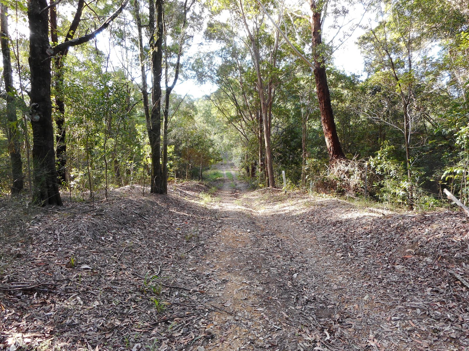
Before long the terrain on both sides of the trail became swampy, as expected based on the map.


Reaching Yelgin Creek and finding it a bit wide, deep and muddy (thanks to recent flooding) for my inadequate footwear, I decided to head back the way that I had come. Reaching the beginning of the Optus Trail once again, I followed the less distinct track to the south towards Shara Boulevard. This track was wet and muddy, but passed through some nice forest. At the end of it I followed Shara Boulevard back to my starting point.
This was a very pleasant short walk. Next time I'll be better prepared and walk the Optus Trail all the way through to Crabbes Creek Beach.
No comments:
Post a Comment