General Information
Grading: easyDistance: 11.4 kilometers
Total climb: 303 meters
Time taken: 3 hours
Maps: Chimneys Ridge 8524-1N 1:25 000
Start point distance by road from Canberra GPO: 215 kilometers
Start point map grid reference: 55H FV 16501 59115
Destination map grid reference: 55H FV 13124 57387
End point: Same as start
Route

Description
This walk really starts at the western end of Thredbo Village, but we were obliged to park the car almost a kilometre away in one of the large parking areas at the eastern end of the village. With hindsight it would have been better to have driven to Dead Horse Gap, parked the car there and done the walk in reverse.
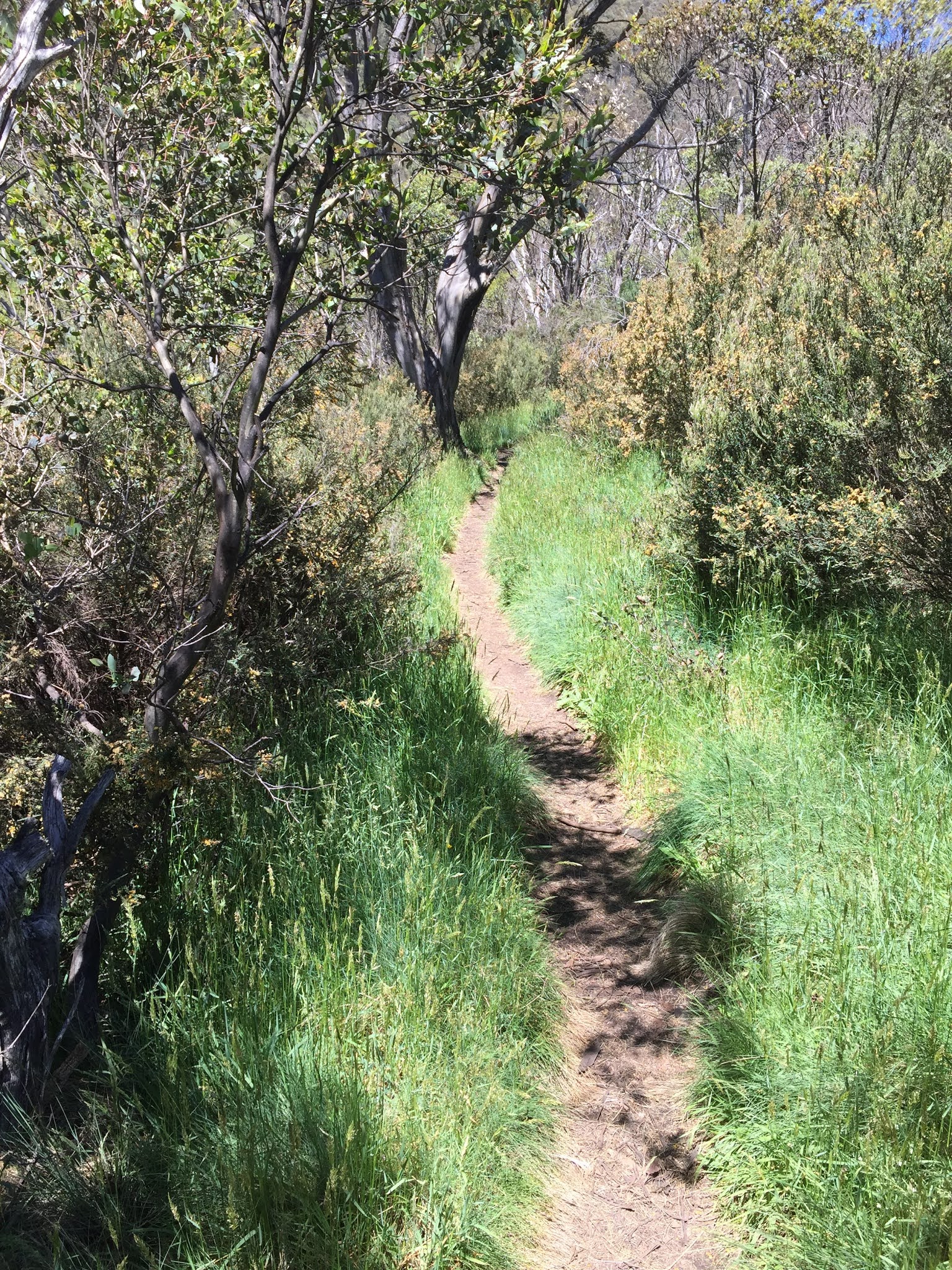
Initially the track is quite wide and follows the Thredbo River on the left and the golf course on the right. After about 1 kilometre the trail splits, with the right hand trail returning to Thredbo via the other side of the golf course, and the left hand trail continuing along the river to Dead Horse Gap. We followed the left trail which narrowed to a well-worn path through light bush.

At one point not too much further on we came to a viewing platform over the river near a pretty cascade.

Continuing on, about 3 kilometers into the walk we came to the first bridge on the walking trail crossing the Thredbo River. About 400 metres further on there is another footbridge which too us back to the north side of the river again. Some nice wildflowers were still in bloom and some other walkers coming from Dead Horse Gap told us they had sighted deer nearby.

We eventually reached Dead Horse Gap and the very pretty Bogong Creek.


We returned to Thredbo via the same route.
No comments:
Post a Comment