General Information
Route

Description
This walk began at the Smokers Trail car park off Corin Road. We walked up to the top of the hill, then turned slightly right and cut through the bush to another management trail which we followed round to the start of the walking track along Punch Bowl Creek (map reference 55H FA 75649 68431).
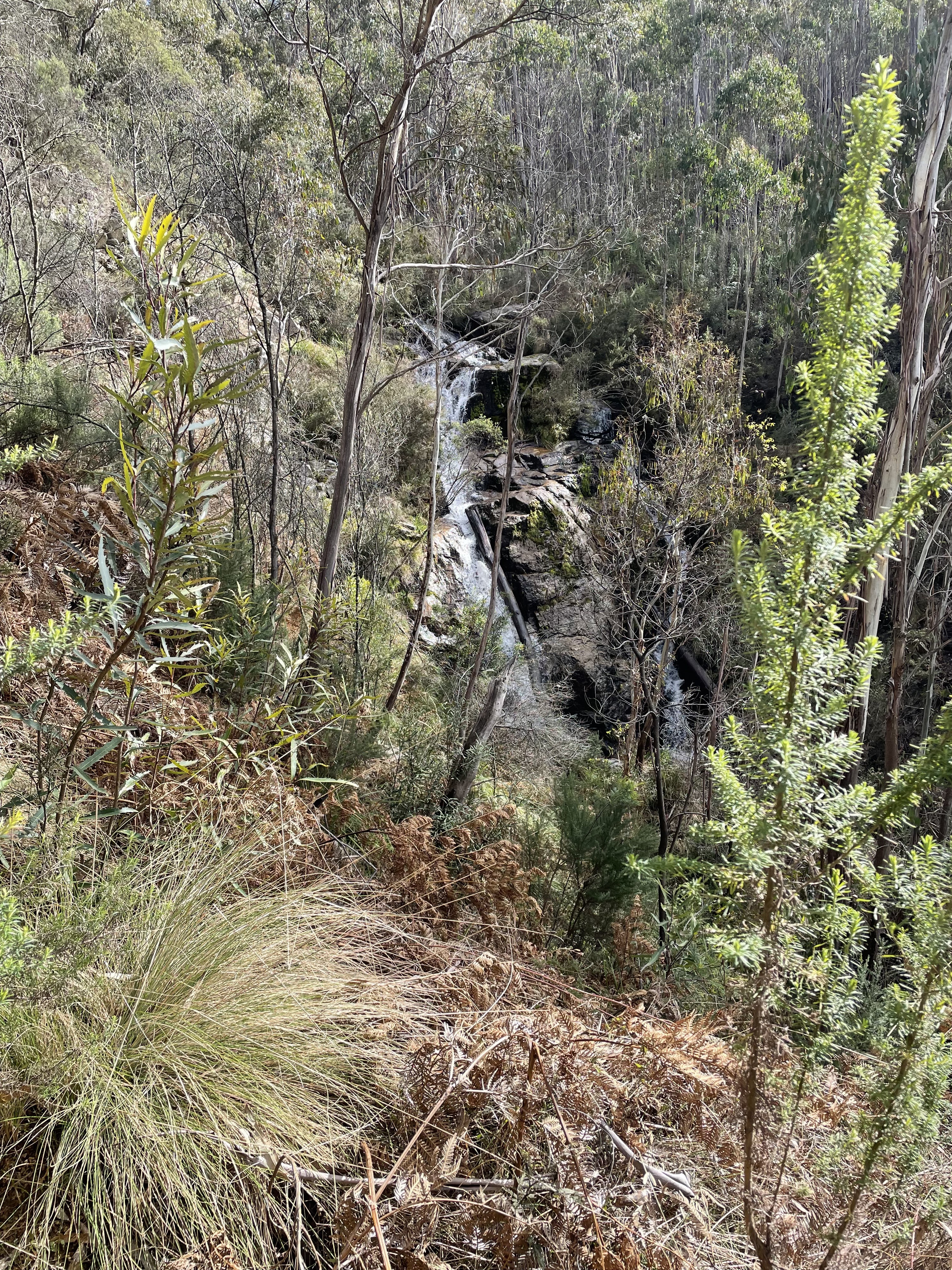
We followed the walking track past the two waterfalls on Punch Bowl Creek...

...and then continued down to an old gate before turning left and crossing Punch Bowl Creek at map reference 55H FA 76680 68759. From here we hit exploration mode, following an old and rough track paralleling the north side of the creek. We followed this for a few kilometers just to see where it went. We were hopeful that it might climb up the ridge on our left, but it soon became apparent that it most likely just went to the Booroomba Homestead (as it turned out we were right about this) and decided to turn back.
We followed mostly the same route back to our starting point, although we re-crossed Punch Bowl Creek a bit further downstream than on the outward journey.
No comments:
Post a Comment