General Information
Grading: easyDistance: 11.1 kilometers
Total climb: 299 meters
Time taken: 2 hours 40 minutes
Maps: Canberra 8727-2N 1:25 000
Start point distance by road from Canberra GPO: 6 kilometers
Start point map grid reference: Canberra 55H FA 89742 94000
Destination map grid reference: n/a
End point: Same as start
Route
Description
The
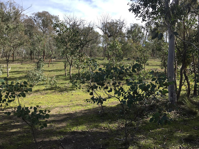
starting point for this walk was the Black Mountain Reserve carpark near Glenloch Interchange. I followed the cycle path south from the carpark passing under Caswell Drive /Gungahlin Drive and making my way to the gate marking the entrance to the Black Mountain Reserve. I followed the Woodland Trail for a bit before I headed bush, intending to walk in the bush above Parkes Way around to the lookout I visited a few weeks back (link). Although steep, this is very nice bushland to walk through and has some excellent views to the south. Just be careful of your footing.
After a steep climb up to around 650 meters elevation I pretty much followed the contour at that elevation around the south side of Black Mountain. This eventually brought me almost perfectly to the lookout I was seeking. From there I followed the walking track back to the Botanical Gardens where, after a coffee break at the cafe there, I had the opportunity to have a bit of a look around while making my way to Black Mountain gate.
Passing back out into Black Mountain Reserve I followed the Powerline Trail until I found a trail heading southwest at map reference 55H FA 91133 96004 which I followed. At around map reference 55H FA 90099 95429 I found a walking track to the right which I decided to follow. Unfortunately I took me nowhere I wanted to go so I made my way back to the management trail I had been following. I passed under Caswell Drive/Gungahlin Drive into the Aranda Bushland. After a short way down a management trail I found a walking track on the left with ribbon markings leading me back to where I started. Some nice pictures on the way.


No comments:
Post a Comment