General Information
Grading: hardDistance: 14 kilometers
Total climb: 750 meters
Time taken: 4 hours 45 minutes
Maps: Bombay 8827-3S 1:25 000; Bendoura 8826-4N 1:25 000
Start point distance by road from Canberra GPO: 58 kilometers
Start point map grid reference: 55H GA 31672 67521
Destination map grid reference: Serenity Rocks 55H GA 32965 69372
Mt Lowden Communications Tower 55H GA 33596 68115
End point: Same as start
Mt Lowden Communications Tower 55H GA 33596 68115
Route
Description
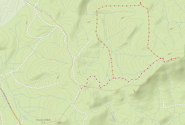
This walk Started at the intersection of the Bald Hill and Lowden Trig Fire Trails, about 2.7 kilometers up the Lowden Hill Fire Trail from Lowden Road. We walked along Lowden Road looking for a foot track off to the left which we found at map reference 55H GA 32368 67765.
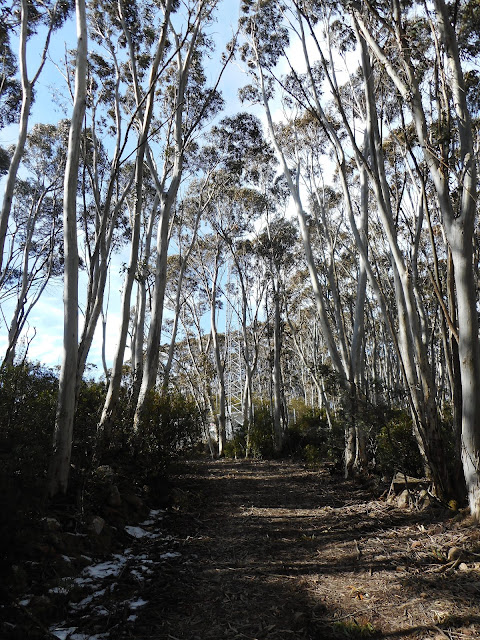
We followed this track through some very pretty forest down into gullies formed by tributaries of Mulloon Creek. The tributaries, which we had to cross several times, were lined with beautiful tree ferns.
The track finally started taking us back uphill and we continued right up to the side track of the Bald Hill Fire Trail at map reference 55H GA 31916 68585 before we decided that we were no longer going in the right direction. Backtracking down to the creek, we found a side trail heading north (map reference 55H GA 32037 68584) which we had failed to see on the way up because it was obscured by a fallen tree. This track, which seems to have mainly been used by trail bikes, took us all the way round to the informally named Serenity Rocks (map reference 55H GA 32965 69372). The rocks are about 100 meters off the track and look like this:
The rocks give an excellent platform for views north to Mt Palerang.
Going back to the walking/trail biking track, we started to head towards Mt Lowden. Pretty soon, however, we decided that the track was not taking us in the right direction, so we had to go bush and follow a bearing towards the Mt Lowden communications tower. While this was only a bit over a kilometre away, the dense scrub and occasional lawyer vines made it hard going. After about an hour-an-a-half of this slogging we finally made it back to the Lowden Hill Fire Trail, where at about 1300 meters there was still some of last week's snow in sheltered areas. From here it was only a short walk to the communications tower.
We continued past the communications tower thinking to reach the top of Mt Lowden about 600 metres distant. Again encountering thick scrub on the top of the ridge, however, we decided that it would take too much time and returned to the car via the Lowden Hill Fire Trail.


No comments:
Post a Comment