General Information
Distance: 8.2 kilometers
Total climb: 244 meters
Time taken: 1 hour 50 minutes
Maps: Canberra 8727-2N 1:25 000
Tuggeranong 8727-3S 1:25 000
Start point distance by road from Canberra GPO: 14 kilometers
Start point map grid reference: Canberra 55H FA 91831 84120
Destination map grid reference: Tuggeranong 55H FA 93032 82608
End point: Same as start
Distance: 8.2 kilometers
Tuggeranong 8727-3S 1:25 000
Route

Description
This walk began at the Isaacs Shopping Centre carpark. passing behind the shopping centre we followed the footpath under Julia Flynn Avenue to the edge of the nature reserve. Reaching a management trail we followed it north before starting the fairly steep climb to the top of the ridge. From here there were extensive views towards the Woden Valley.

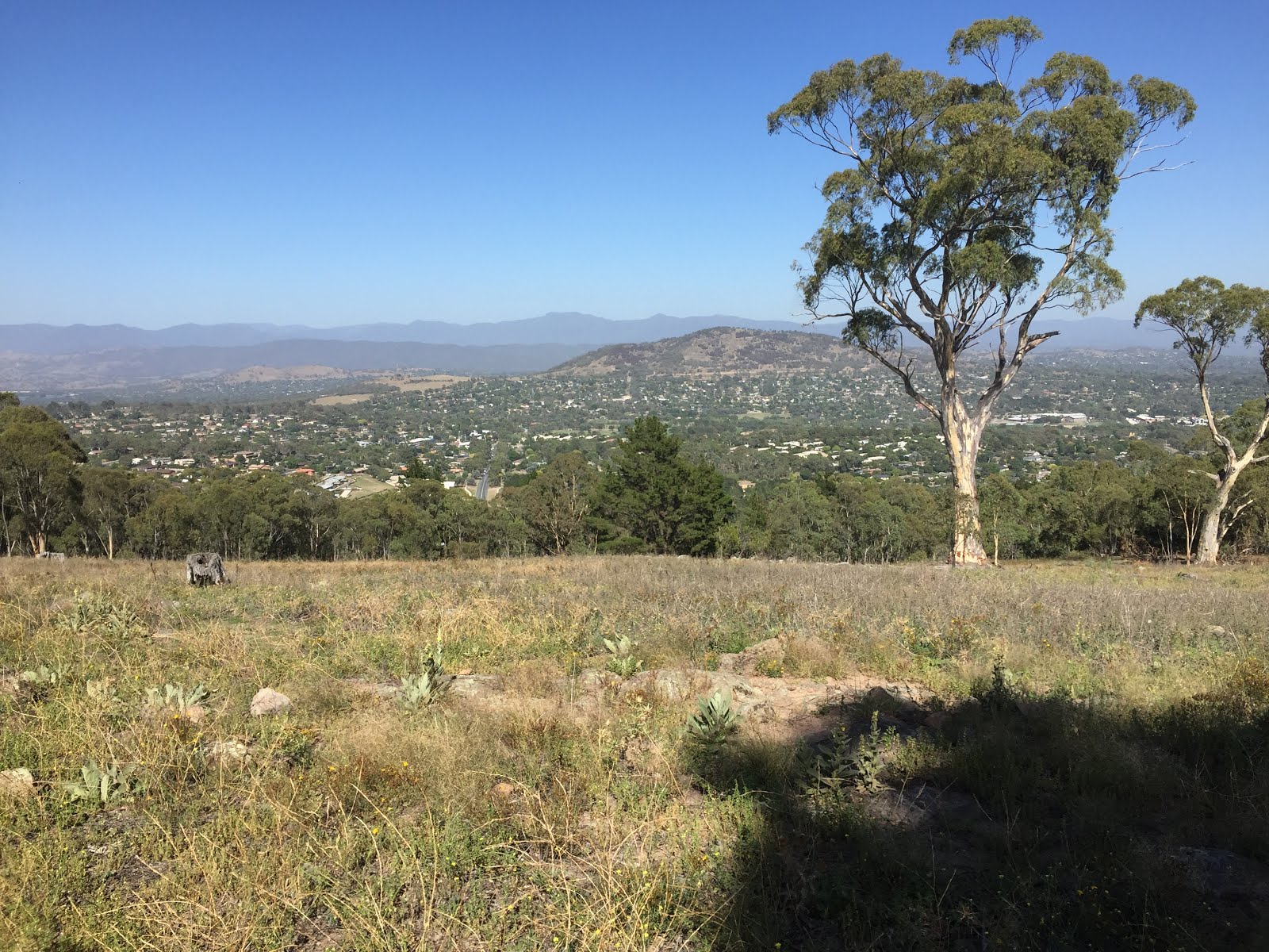
Continuing along the management trail at the top of the ridge we also had some views of the northern Tuggeranong Valley and the mountains beyond.

Passing a series of transmission towers on top of the ridge we eventually reached our destination, the highest point on the ridge at around 850 meters elevation. The view here was limited, however, by surrounding trees.
From our destination we started the descent back down the ridge to the southwest before heading north again on a management trail. At around map reference 55H FA 92671 82648 (Tuggeranong) we deviated off the management trail to the right, following a very nice walking track running parallel to the management trail. We then followed management trails and suburban streets back to our starting point.
No comments:
Post a Comment