General Information
Distance: 9.4 kilometers
Total climb: 384 meters
Time taken: 3 hours 30 minutes
Maps: Williamsdale 8726-4N 1:25 000
Guide: n/a
Start point distance by road from Canberra GPO: 36 kilometers
Start point map grid reference: 55H FA 88439 66291
Destination map grid reference: 55H FA 89277 64520
End point: same as start
Distance: 9.4 kilometers
Route
 http://maps.six.nsw.gov.au/

Description
This was an exploratory hike in an area my fellow hiker and I had not been before. We did not have a particular route or destination in mind, so the destination point specified above is really just the most prominent feature we came to.
Starting from the Tharwa Sandwash carpark we followed the Murrumbidgee River upstream for about 700 meters before crossing a dry creek at map reference 55H FA 89118 65976. From there we started up a ridge paralleling the river, which gave us a nice aspect downriver towards Tharwa in one direction and to the distant Tinderry Range in the other.


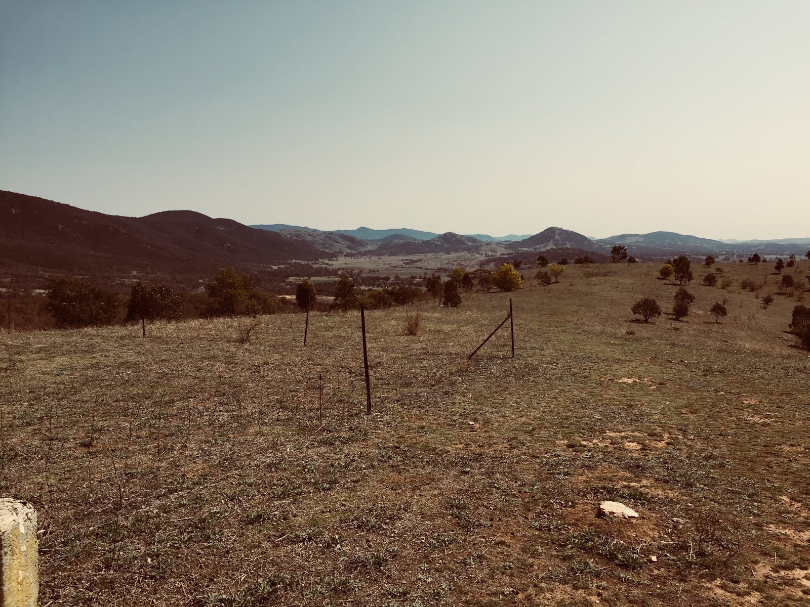
Not far up this ridge we came to the first of many annoying barbed wire fences that still criss-cross the Nature Reserve. Having wormed our way under a gap in this particular fence we continued in a generally southern direction and gaining elevation as we went. Eventually we saw the unnamed hilltop at map reference 55H FA 89277 64520, and decided to make towards it, believing that it would help us orient ourselves and look for more places of interest. This proved to be an excellent decision, with the hilltop affording views all around.


From the hilltop we decided to head back towards the Murrumbidgee heading down the hill to link up with a track we could see below us to the east. We followed this track around, hoping to find a side-track off to the left that would take us to the river (as marked on the map retrieved from http://maps.six.nsw.gov.au/). We never did find this side-track, so it must have been obscured over time. This left us with the job of descending a steep slope through relatively thick scrub to get to the river, but we made it quite easily in the end and found a very nice spot for lunch.


After lunch we climbed out way back from the river and soon after reacquired our outbound trail which we followed back to the carpark.
This was an exploratory hike in an area my fellow hiker and I had not been before. We did not have a particular route or destination in mind, so the destination point specified above is really just the most prominent feature we came to.
Starting from the Tharwa Sandwash carpark we followed the Murrumbidgee River upstream for about 700 meters before crossing a dry creek at map reference 55H FA 89118 65976. From there we started up a ridge paralleling the river, which gave us a nice aspect downriver towards Tharwa in one direction and to the distant Tinderry Range in the other.


Not far up this ridge we came to the first of many annoying barbed wire fences that still criss-cross the Nature Reserve. Having wormed our way under a gap in this particular fence we continued in a generally southern direction and gaining elevation as we went. Eventually we saw the unnamed hilltop at map reference 55H FA 89277 64520, and decided to make towards it, believing that it would help us orient ourselves and look for more places of interest. This proved to be an excellent decision, with the hilltop affording views all around.


From the hilltop we decided to head back towards the Murrumbidgee heading down the hill to link up with a track we could see below us to the east. We followed this track around, hoping to find a side-track off to the left that would take us to the river (as marked on the map retrieved from http://maps.six.nsw.gov.au/). We never did find this side-track, so it must have been obscured over time. This left us with the job of descending a steep slope through relatively thick scrub to get to the river, but we made it quite easily in the end and found a very nice spot for lunch.


After lunch we climbed out way back from the river and soon after reacquired our outbound trail which we followed back to the carpark.
No comments:
Post a Comment