General Information
Distance: 2.9 kilometers
Total climb: 150 meters
Time taken: 1 hour
Map: Port Stephens 9332-4S 1:25 000
Guide: link
Start point distance by road from Canberra GPO: 490 kilometers
Start point:
Destination:
End Point: Same as start
Route

http://maps.six.nsw.gov.au/
Description
Tomaree Head is the southern head of Port Stephens, north of Newcastle. The start for this walk is accessed from Shoal Bay Road just after the suburb of Shoal Bay. It is along a paved trail with, if I remember correctly, some ladders to be climbed in the steeper sections. The trail is well signposted, so no map or guide is really necessary. We decided to walk to the remains of Fort Tomaree first. This fort was part of the defences of Port Stephens and the Australian coastline during World War II.


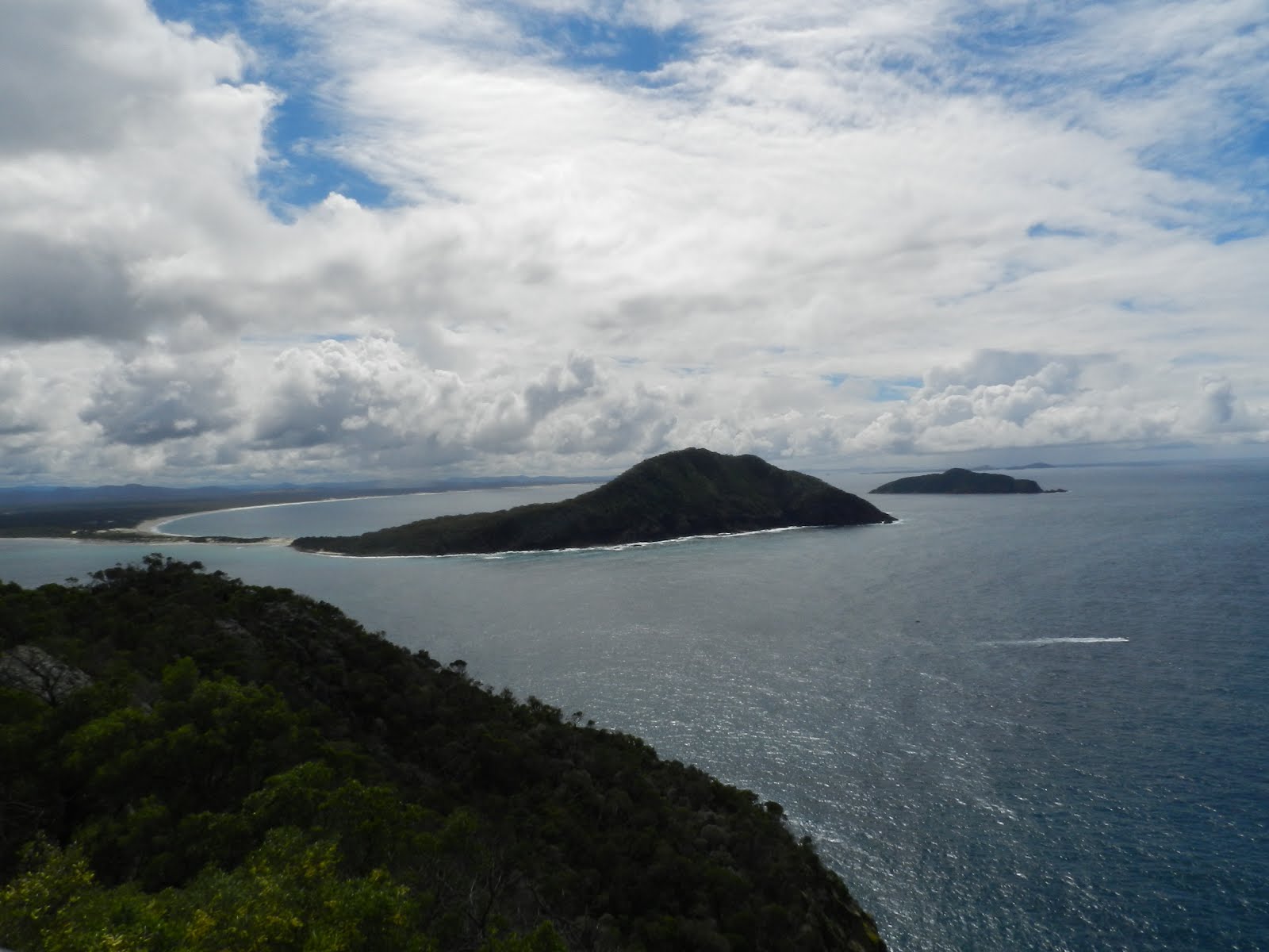
We backtracked about 350 meters from the Fort remains to commence the final part of the climb to the Tomaree Head summit. Plenty of excellent views, but lots of people too.


Having taken in the views we headed back to the starting point back down the trail. A great short walk with some historical interest as well as fabulous views.
No comments:
Post a Comment