General Information
Grading: mediumDistance: 10.9 kilometers
Total climb: 544 meters
Time taken: 4 hours
Maps: Cotter Dam 8627-2N 1:25 000
Start point distance by road from Canberra GPO: 32 kilometers
Start point map grid reference: 55H FA 74137 95543
Destination map grid reference: Two Sticks Hill 55H FA 71374 95813
Sherwood Daffodils 55H FA 72104 95061 Dowling Trig 55H FA 73523 95090
End point: Same as start
Route
Description
As usual, this walk started at the small parking area off Mountain Creek Road. We followed the track up to the top of the ridge, and just past the fence we headed off to the minor track on the right, travelling north at first and then turning west. Where the track turned south again we continued west, following a trail through some nice native forest.
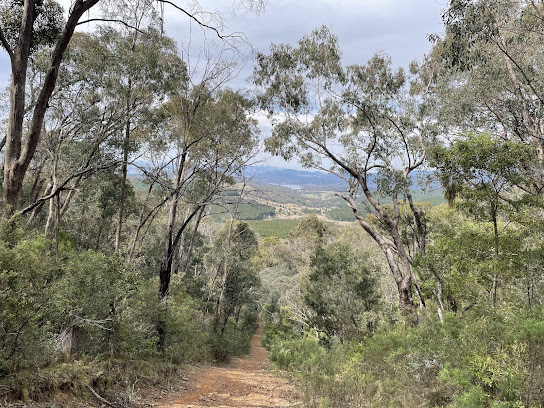
Eventually we came to the road on the east side of Two Sticks Hill, and turning right we followed the road up to the ridge. This was very steep and required a few short rest stops. The pictures don't do justice to the steepness of this trail.
At the top of the ridge we followed a clear walking trail, past the NSW/ACT border marker to the summit of Two Sticks Hill. From the summit the walking trail continues to the south, but eventually turns 180 degrees back to the north east. This caused us some confusion, and we debated continuing south through the steep and thick bush before deciding to follow the trail and see where it took us. As luck would have it, the trail actually goes back to the same road we used to climb up the hill at map reference 55H FA 71665 95625. We followed the track south to the Sherwood daffodils.
After a break among the daffodils we cut across the creek and followed an animal track to link up with the initially steep trail to Dowling Trig. Some nice views from this trail.
From the summit we went bush down the northern side of the hill. This was reasonably steep, but easy walking. Getting back to Sherwood Road by this route, we walked back to the starting point.


