General Information
Grading: mediumDistance: 19 kilometers
Total climb: 660 meters
Time taken: 4 hours 30 minutes
Maps: Perisher Valley 8525-2S 1:25 000
Start point distance by road from Canberra GPO: 220 kilometers
Start point map grid reference: 55H FV 19089 67358
Destination map grid reference: 55H FV 23213 73018
End point: same as start
Route
Description
This new walking trail is the first section of the planned Snowies Alpine Walk.
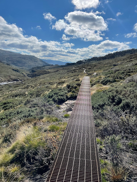
We started at Charlotte Pass, and at the car park walked down the very steep track towards the Snowy River below. The start of the trail to Guthega begins on the right, a few hundred meters before the river. Much of the initial section is along raised metal causeway following along beside the Snowy River.
After a while the track starts to go up and down and through some nice stands of gum trees
Perhaps the highlight of the walk is the suspension bridge over Spencers Creek.
The track also passes beside the Illawong Bridge over the Snowy River and Guthega Dam before taking you into Guthega itself.
My walking companion (actually my wife) was pretty worn out by the time we reached Guthega, so she stayed behind in the cafe while I walked back to Charlotte Pass to fetch the car. The climb up from the Snowy River to the Charlotte Pass car park was a killer at the end of such a long walk.


