Showing posts with label Corin. Show all posts

Thursday, 25 August 2022

Gibraltar Pines: Punch Bowl Creek

General Information

Grading : medium
Distance:  9.8 kilometers 
Total climb:  417 meters
Time taken:  3 hours 30 minutes
Map:  Corin Dam 8626-1N, 1:25 000 
Start point distance by road from Canberra GPO:  49 kilometers 
Start point map grid reference:  55H FA 74894 68592
Destination map grid reference:  n/a
End point:  same as start

Route


Description

This walk began at the Smokers Trail car park off Corin Road. We walked up to the top of the hill, then turned slightly right and cut through the bush to another management trail which we followed round to the start of the walking track along Punch Bowl Creek (map reference 55H FA 75649 68431).

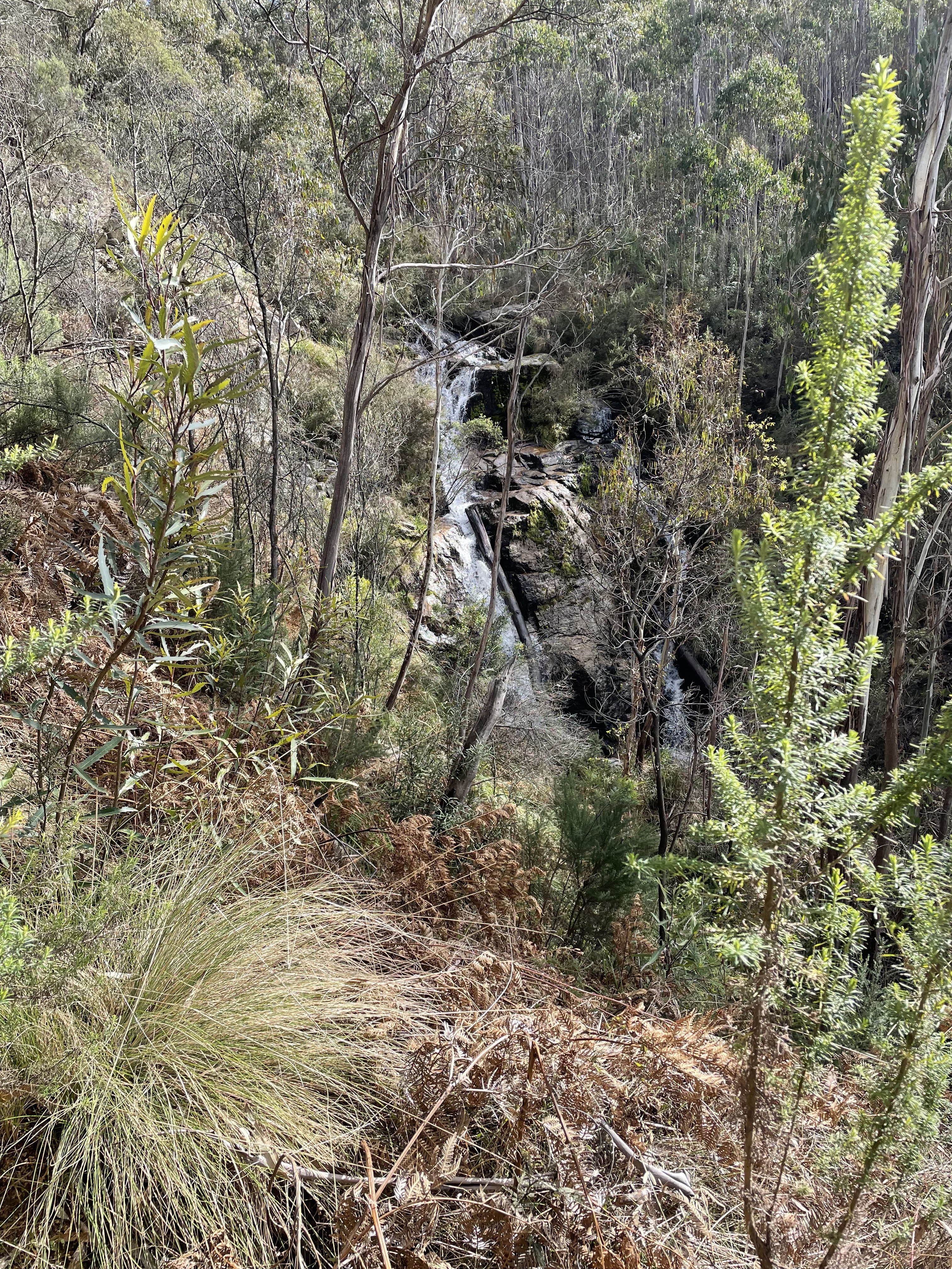
We followed the walking track past the two waterfalls on Punch Bowl Creek...
 

...and then continued down to an old gate before turning left and crossing Punch Bowl Creek at map reference 55H FA 76680 68759. From here we hit exploration mode, following an old and rough track paralleling the north side of the creek. We followed this for a few kilometers just to see where it went. We were hopeful that it might climb up the ridge on our left, but it soon became apparent that it most likely just went to the Booroomba Homestead (as it turned out we were right about this) and decided to turn back.

We followed mostly the same route back to our starting point, although we re-crossed Punch Bowl Creek a bit further downstream than on the outward journey.

Monday, 18 April 2022

Corin Forest: Smokers Trail to Orroral River

General Information

Grading : hard
Distance:  22 kilometers 
Total climb:  795 meters
Time taken:  5 hours 50 minutes
Map:  Corin Dam 8626-1N, 1:25 000 
Start point distance by road from Canberra GPO:  51.5 kilometers 
Start point map grid reference:  55H FA 73687 67792
Destination map grid reference:  55H FA 72960 61299
End point:  same as start

Route


Description

This walk began at the Square Rock car park just off Corin Road. We initially followed the walking trail towards Square Rock. At map reference 55H FA 72421 66150 there is a link track off to the left that takes you down to the Smokers Trail, and we followed this. When we reached Smokers Trail we turned right and followed it alongside a creek with a number of small waterfalls. As we neared the ridge above Orroral Valley there was plenty of evidence of damage from the 2020 bushfire.


We descended along Smokers Trail down to the Orroral River at the head of Orroral Valley. While the crossing is rather nondescript, the river itself is quite pretty.


Pausing here for some lunch, we then made our way back up Smokers Trail. Instead of walking back up the link trail to the Square Rock track, we continued along Smokers Trail until we came to a marker directing us back to the car park. This turned out to be a rather interesting walking track, quite narrow and treacherous in some places, but through some very pretty bushland.

This took us back to our starting point.

Thursday, 18 November 2021

Gibraltar Pines and [Not Quite] Punch Bowl Creek Falls

General Information

Grading : medium
Distance:  7.2 kilometers 
Total climb:  314 meters
Time taken:  2 hours
Map:  Corin Dam 8626-1N, 1:25 000 
Start point distance by road from Canberra GPO:  49 kilometers 
Start point map grid reference:  55H FA 74894 68592
Destination map grid reference:  55H FA 76117 68607
End point:  same as start

Route


Description

This walk began at the Smokers Trail car park just off Corin Road. We walked straight up the hill from the car park and turned left at the top. This took us on a loop trail through some very nice grassy native bushland.

Looping back around to the southwest, we made our way to Punch Bowl Creek, but due to a navigational error on my part ended up climbing a very steep hill after we had crossed the creek, which we then had to walk down again. At roughly map reference 55H FA 75649 68431 we eventually found the beginning of the walking track down Punch Bowl Creek. This track is quite difficult to find by sight, which is why we ended up unnecessarily climbing the hill.

Making our way along the track we were confronted with a newly-built fence going right across the track.

Assuming that this was a less-than-subtle form of saying "No Access", we decided to turn back short of the falls. [After the walk I asked the Parks people why the track had been closed, only to be informed that it was meant only to keep livestock out, not interfere with walkers, and that a gate allowing access was to be put in. This gate has now been constructed.]

Making our way back to the start of the walking track we decided not to climb that steep hill again, but went up another trail that parallels it on the west. This proved much easier. We then looped back to the starting point along randomly selected management trails.