General Information
Route
Description
This walk began at the Square Rock car park just off Corin Road. We initially followed the walking trail towards Square Rock. At map reference 55H FA 72421 66150 there is a link track off to the left that takes you down to the Smokers Trail, and we followed this. When we reached Smokers Trail we turned right and followed it alongside a creek with a number of small waterfalls. As we neared the ridge above Orroral Valley there was plenty of evidence of damage from the 2020 bushfire.
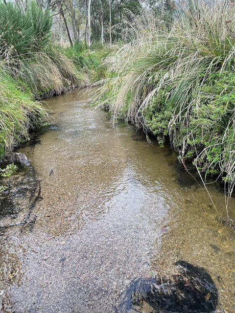
We descended along Smokers Trail down to the Orroral River at the head of Orroral Valley. While the crossing is rather nondescript, the river itself is quite pretty.
Pausing here for some lunch, we then made our way back up Smokers Trail. Instead of walking back up the link trail to the Square Rock track, we continued along Smokers Trail until we came to a marker directing us back to the car park. This turned out to be a rather interesting walking track, quite narrow and treacherous in some places, but through some very pretty bushland.
This took us back to our starting point.


No comments:
Post a Comment