General Information
Grading: easyDistance: 7.9 kilometers
Total climb: 160 metres
Time taken: 1 hour 55 minutes
Maps: Tuggeranong 8727-3S 1:25 000
Start point distance by road from Canberra GPO: 24.3 kilometers
Start point map grid reference: 55H FA 87522 77114
Destination map grid reference: Point Hut 55H FA 888343 7481 Mt Stranger 55H FA 88899 76584
End point: same as start
Route

Description
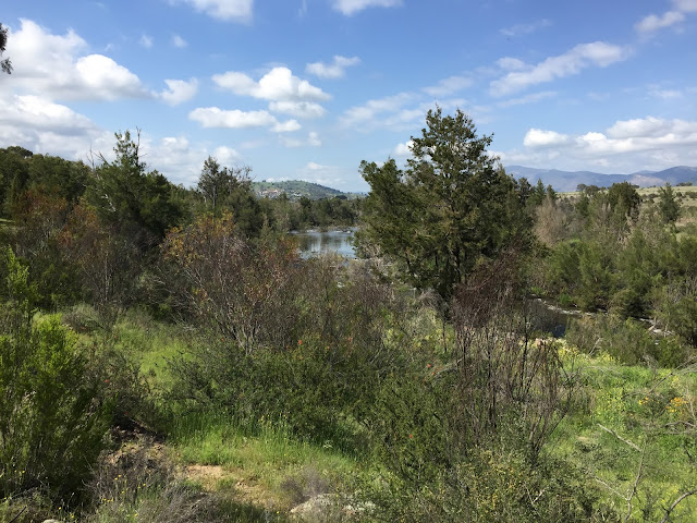
We started this walk at the southern end of the Pine Island Reserve and headed south along the walking track that follows the Murrumbidgee River. There were some nice views across the river and down by its banks.


After about 3 kilometres walking we reached the Point Hut picnic area and started our return journey via Mt Stranger. We followed the Bicentennial Trail from Point Hut for about 1.7 kilometres before heading bush towards the mountain. This was pretty easy going through grass and Patterson's curse to then trig at the summit of Mt Stranger. This gave us views of both rural and urban landscapes.


Descending the mountain towards the west we struck the Bicentennial Trail again and followed it for just short of a kilometre before cutting back to Pine Island.

Description
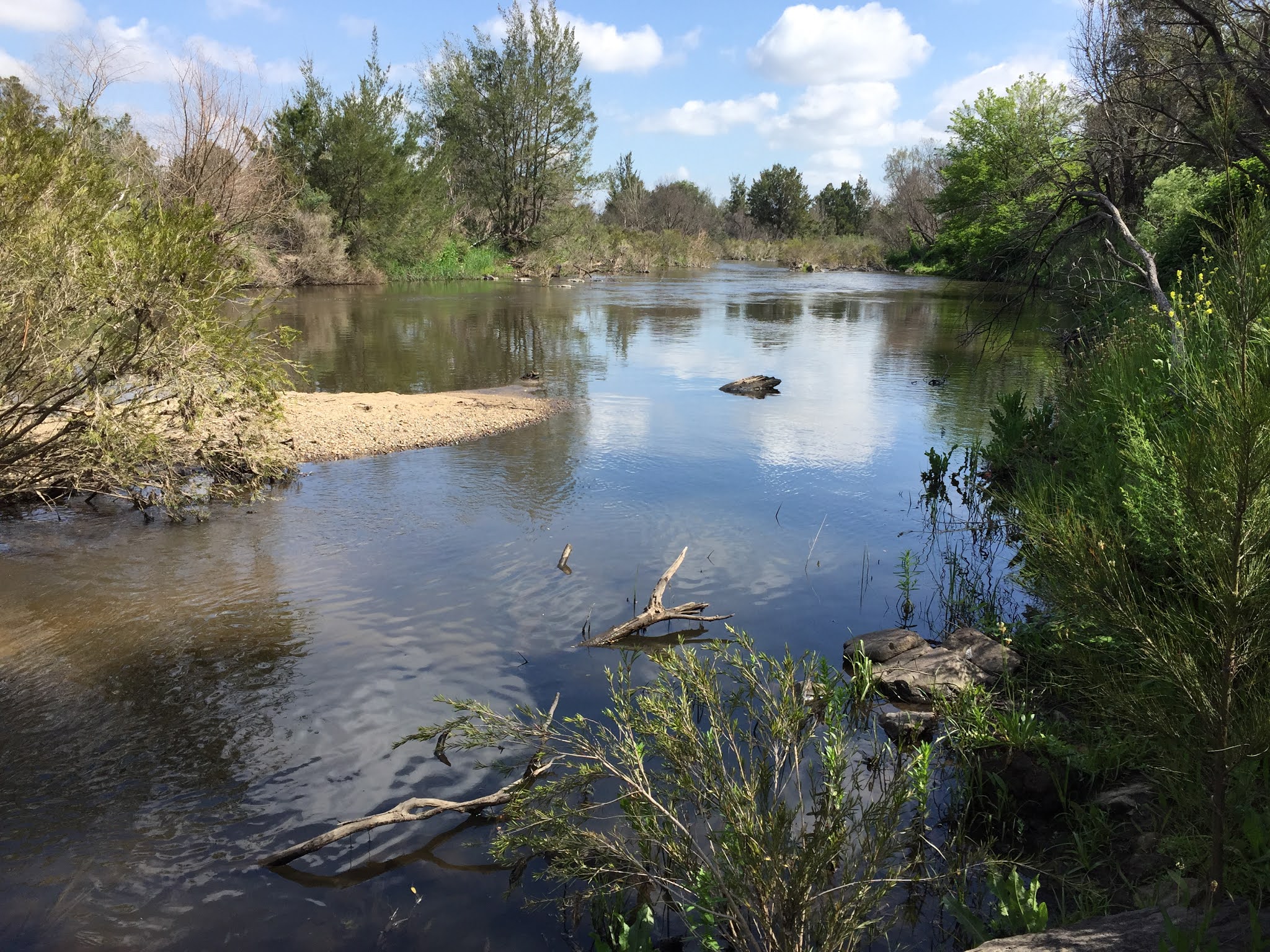
We started this walk at the southern end of the Pine Island Reserve and headed south along the walking track that follows the Murrumbidgee River. There were some nice views across the river and down by its banks.


After about 3 kilometres walking we reached the Point Hut picnic area and started our return journey via Mt Stranger. We followed the Bicentennial Trail from Point Hut for about 1.7 kilometres before heading bush towards the mountain. This was pretty easy going through grass and Patterson's curse to then trig at the summit of Mt Stranger. This gave us views of both rural and urban landscapes.


Descending the mountain towards the west we struck the Bicentennial Trail again and followed it for just short of a kilometre before cutting back to Pine Island.


