General Information
Grading: medium
Distance: 4.9 kilometers
Total climb: 268 meters
Time taken: 3 hours 30 minutes
Maps: Cotter Dam 8627-2N 1:25 000
Start point distance by road from Canberra GPO: 48 kilometers
Start point map grid reference: 55H FA 66441 95586
Destination map grid reference: 55H FA 66448 94353
End point: Same as start
Route
Description
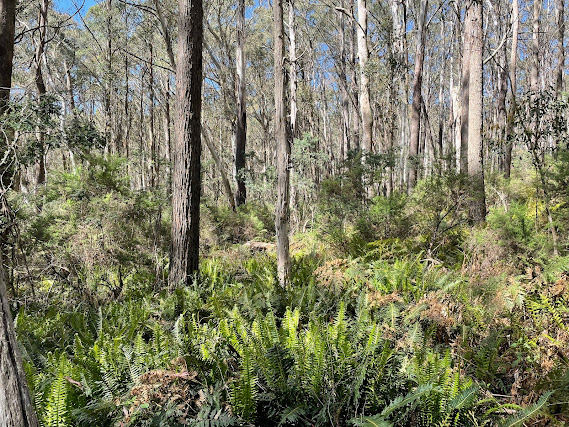
This walk started at a point on Two Sticks Road under some power lines about 1.5 kilometers from the intersection of Two Sticks Road and Blue Range Road. We headed straight into the bush, which was quite thick and difficult to walk through, with virtually no hope of being able to walk in a straight line.
As we were walking the terrain kept turning us to the right, so we decided to make for the lesser peak to the north west of Devils Peak. This was not a bad decision since it gave us some good views to the north and west.
We then turned south east towards Devils Peak. We arrived at the actual peak itself, but it was thickly forested and gave no decent views. We continued south east, however, until we came to the rock face looking east, and there were great views towards Mount Blundell and Mount Coree.
We returned to our starting point pretty much the same way (but obviously not going back up the lesser peak we had climbed earlier).


No comments:
Post a Comment