General Information
Grading: easyDistance: 9.2 kilometers
Total climb: 216 meters
Time taken: 1 hour 50 minutes
Maps: Canberra 8727-3N 1:25 000
Start point distance by road from Canberra GPO: 6.3 kilometers
Start point map grid reference: street address
Destination map grid reference: Gossan Hill - 55H FA 89735 97589
End point: same as start
Route
Description
I started this walk from the Aranda shops in Bandjalong Crescent, Aranda, partly because it would be easy to park there, and partly because I wanted to extend the length of the walk to get to my preferred length of at least 10 kilometers. Parking was a bit more difficult than I had anticipated because it was school drop-off time. And I came up a few hundred meters short of the 10 kilometer mark.
From Bandjalong Crescent I walked down a pathway towards the Aranda playing fields and crossed Belconnen Way via the pedestrian footbridge. From there I turned left up towards Bitumen Track (aptly named) and then turned off onto Urban FT and Radford FT (tracks in the Reserve are pretty well signposted). I then took the Gossan Six FT up to a 667 meter lookout with views to the west.
Continuing past the lookout I turned right on to Gossan Seven FT where I had my first look at Gossan Hill and some views to the north and east.
At the end of Gossan Seven FT I turned left on to Middle FT, which took me to College Street near Radford College. Going bush, I followed the Radford College fence line until it took me back to Radford FT and Gossan One FT which parallels Haydon Drive. Again to extend the walking distance I crossed Haydon Drive and walked the trails behind Calvary Hospital. Near the Calvary parking station I had to go bush again. It probably would have been better to head towards Gungahlin Drive and then down to the track next to Belconnen Way.
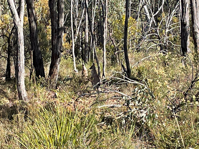
I eventually made it back to where I started the Calvary Hospital deviation and walked up Urban FT and Middle FT to the top of Gossan Hill (at 669 meters the highest point of the walk. There wasn't much to look at there, and even the kangaroos seemed surprised that I even took the trouble.
From the summit I went back to Gossan Three FT and headed downhill to Urban FT, which took me back to the Bitumen Track near where I had left it. I decided to follow the Bitumen Track to the right (just to see what was there) and was rewarded with this view:
From there I headed back towards my starting point, taking a few deviations (again, just to see what was there).


